
| Memorials | : | 1 |
| Location | : | Bransdale, Ryedale District, England |
| Coordinate | : | 54.3777000, -1.0464000 |
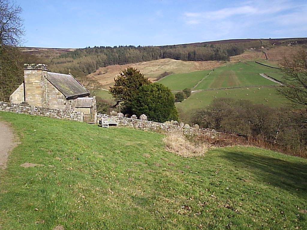
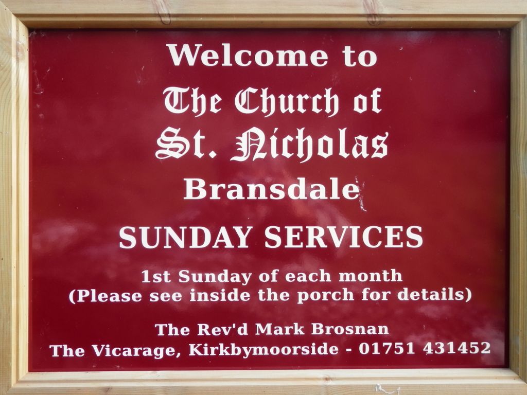
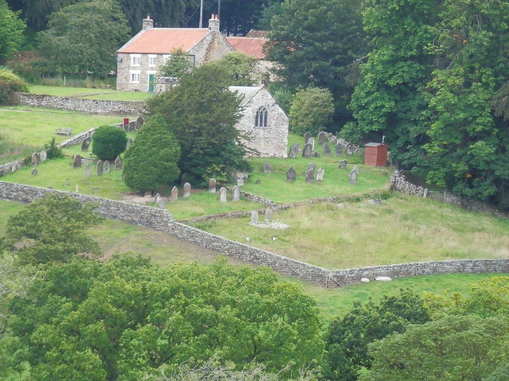
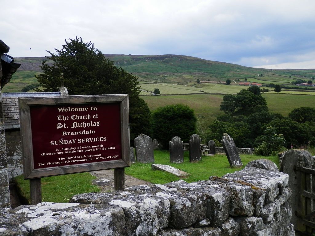
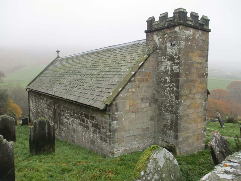
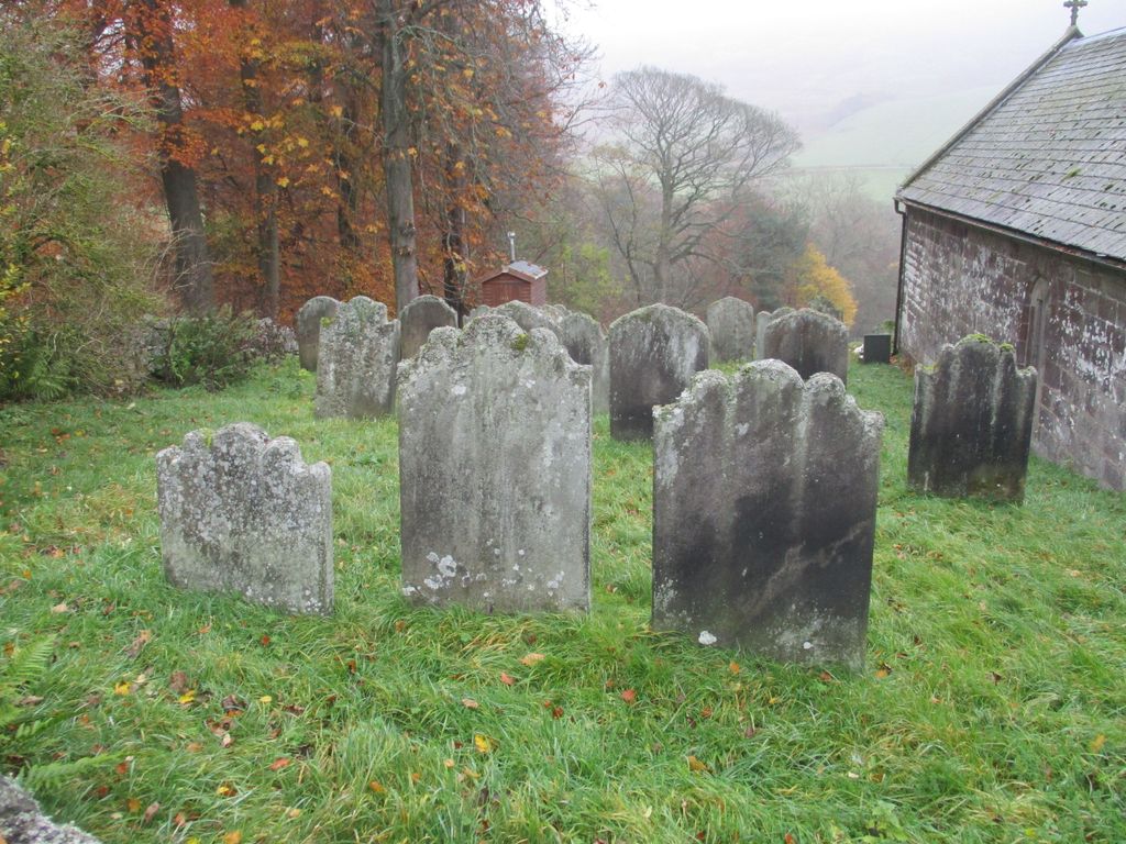
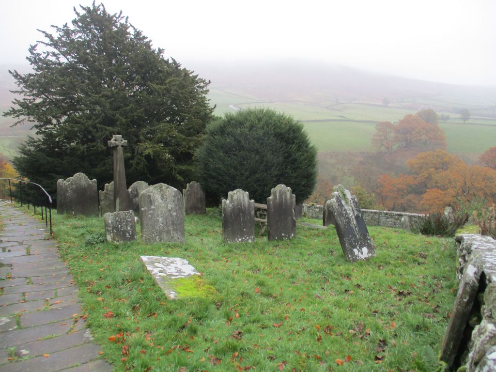
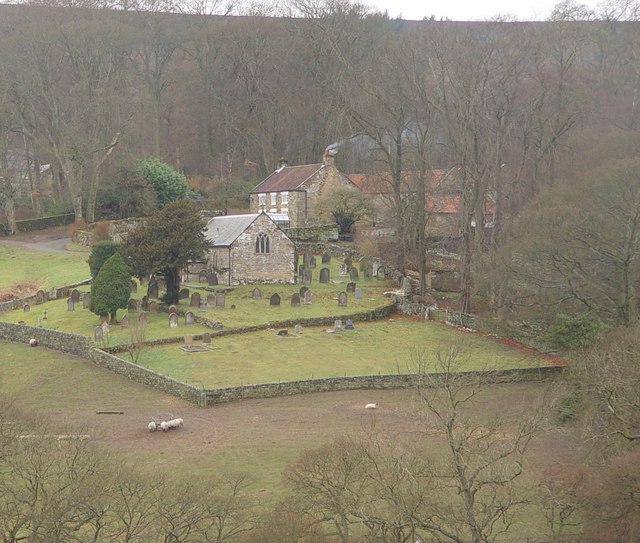
| Description | : | St Nicholas Church Church of England (Anglican) Bransdale, Yorkshire England UK In this remote lovely dale, records show a church in 1282 with burial rights granted in 1660 (removing the necessity to carry coffins on shoulders 19 miles to Kirkbymoorside). The present church was built in 1886, and extended in 1934. It has a barreled roof over the nave and chancel, with two bells in the small tower. The ancient Norman font may be seen in the churchyard. The church, now part of the Kirkbymoorside parish, is open at all times and services are on the first Sunday of the month at 2:30. |
frequently asked questions (FAQ):
-
Where is St. Nicholas' Churchyard?
St. Nicholas' Churchyard is located at Bransdale, Ryedale District ,North Yorkshire ,England.
-
St. Nicholas' Churchyard cemetery's updated grave count on graveviews.com?
1 memorials
-
Where are the coordinates of the St. Nicholas' Churchyard?
Latitude: 54.3777000
Longitude: -1.0464000

Nearby Cemetories:
1. St Mary Churchyard
Farndale East, Ryedale District, England
Coordinate: 54.3693000, -0.9663000
2. St. Hilda's Churchyard
Chop Gate, Hambleton District, England
Coordinate: 54.3988950, -1.1299120
3. Saint John the Evangelist Churchyard
Bilsdale Midcable, Hambleton District, England
Coordinate: 54.3436000, -1.1192000
4. Christ Church Churchyard Westerdale
Westerdale, Scarborough Borough, England
Coordinate: 54.4450870, -0.9781360
5. St. Andrew's Churchyard
Ingleby Greenhow, Hambleton District, England
Coordinate: 54.4487300, -1.1051300
6. Westerdale Green Burial Ground
Westerdale, Scarborough Borough, England
Coordinate: 54.4409040, -0.9555864
7. Botton Village Cemetery
Danby, Scarborough Borough, England
Coordinate: 54.4290000, -0.9282700
8. St Aidan Churchyard
Gillamoor, Ryedale District, England
Coordinate: 54.3023510, -0.9502880
9. St Mary and St Laurence Churchyard
Rosedale Abbey, Ryedale District, England
Coordinate: 54.3537300, -0.8872700
10. St Hilda Churchyard
Danby, Scarborough Borough, England
Coordinate: 54.4475240, -0.9281480
11. Emerson Family Mausoleum
Easby, Hambleton District, England
Coordinate: 54.4702280, -1.1098760
12. St. Augustine's Churchyard
Kirkby-in-Cleveland, Hambleton District, England
Coordinate: 54.4470300, -1.1715250
13. St Cuthbert Churchyard
Kildale, Hambleton District, England
Coordinate: 54.4779100, -1.0689200
14. Quakers Burial Ground
Castleton, Scarborough Borough, England
Coordinate: 54.4614010, -0.9478360
15. St Chad Churchyard
Hutton-le-Hole, Ryedale District, England
Coordinate: 54.3000700, -0.9167300
16. All Saints Churchyard
Hawnby, Ryedale District, England
Coordinate: 54.3000380, -1.1770300
17. St Botolph Churchyard
Carlton-in-Cleveland, Hambleton District, England
Coordinate: 54.4338200, -1.2199490
18. St Peter Churchyard
Commondale, Scarborough Borough, England
Coordinate: 54.4863700, -0.9766200
19. St Mary Magdalene Churchyard
Faceby, Hambleton District, England
Coordinate: 54.4204090, -1.2377320
20. St Mary Churchyard
Lastingham, Ryedale District, England
Coordinate: 54.3046870, -0.8827260
21. Friends Burial Ground
Great Ayton, Hambleton District, England
Coordinate: 54.4880800, -1.1315580
22. St Peter and St Paul Churchyard Cemetery Extension
Stokesley, Hambleton District, England
Coordinate: 54.4693040, -1.1853160
23. St Peter and St Paul Churchyard
Stokesley, Hambleton District, England
Coordinate: 54.4696430, -1.1902080
24. St Gregory Minster Churchyard Extension
Nawton, Ryedale District, England
Coordinate: 54.2628100, -0.9629100