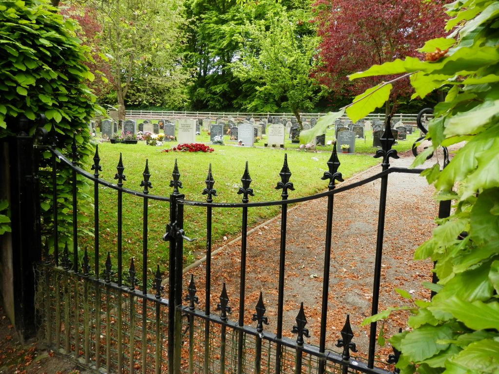
| Memorials | : | 0 |
| Location | : | Nawton, Ryedale District, England |
| Coordinate | : | 54.2628100, -0.9629100 |
| Description | : | Kirkdale is a valley in North Yorkshire, England, which along with Sleightholmedale makes up the larger Bransdale and carries the Hodge Beck from its moorland source near Cockayne to the River Dove and onto the River Rye in the Vale of Pickering. Although there is no village in the dale, Kirkdale was the centre of a large ancient parish. The Saxon parish church of St Gregory's Minster stands by the river. It was built in 1055 on the site of an earlier church, and has an 11th-century sundial bearing an Old English inscription. The church gave its name to the dale,... Read More |
frequently asked questions (FAQ):
-
Where is St Gregory Minster Churchyard Extension?
St Gregory Minster Churchyard Extension is located at Kirkdale Nawton, Ryedale District ,North Yorkshire , YO62 7RXEngland.
-
St Gregory Minster Churchyard Extension cemetery's updated grave count on graveviews.com?
0 memorials
-
Where are the coordinates of the St Gregory Minster Churchyard Extension?
Latitude: 54.2628100
Longitude: -0.9629100
Nearby Cemetories:
1. St. Gregory's Minster Churchyard
Kirkdale, Ryedale District, England
Coordinate: 54.2628300, -0.9622613
2. St Gregory Minster Churchyard
Nawton, Ryedale District, England
Coordinate: 54.2627570, -0.9621910
3. All Saints Churchyard
Kirkbymoorside, Ryedale District, England
Coordinate: 54.2703470, -0.9310110
4. St. Michael and All Angels Churchyard
Edstone, Ryedale District, England
Coordinate: 54.2469000, -0.9188000
5. St Aidan Churchyard
Gillamoor, Ryedale District, England
Coordinate: 54.3023510, -0.9502880
6. Harome Village Cemetery
Harome, Ryedale District, England
Coordinate: 54.2308650, -1.0096380
7. St Saviour Churchyard
Harome, Ryedale District, England
Coordinate: 54.2302000, -1.0088000
8. St Chad Churchyard
Hutton-le-Hole, Ryedale District, England
Coordinate: 54.3000700, -0.9167300
9. Christ Church Churchyard
Appleton-le-Moors, Ryedale District, England
Coordinate: 54.2832030, -0.8729120
10. Helmsley Town Cemetery
Helmsley, Ryedale District, England
Coordinate: 54.2483300, -1.0620300
11. All Saints Churchyard
Helmsley, Ryedale District, England
Coordinate: 54.2469000, -1.0625000
12. All Saints and St James Church
Nunnington, Ryedale District, England
Coordinate: 54.2031000, -0.9806000
13. Rievaulx Abbey
Helmsley, Ryedale District, England
Coordinate: 54.2449170, -1.0639570
14. All Saints Churchyard
Sinnington, Ryedale District, England
Coordinate: 54.2647920, -0.8556060
15. St Mary Churchyard
Lastingham, Ryedale District, England
Coordinate: 54.3046870, -0.8827260
16. St. John of Beverley Parish Churchyard
Salton, Ryedale District, England
Coordinate: 54.2105680, -0.9028560
17. St. Andrew's Churchyard
Normanby, Ryedale District, England
Coordinate: 54.2253710, -0.8744810
18. Stonegrave Minster Churchyard
Stonegrave, Ryedale District, England
Coordinate: 54.1925011, -0.9966000
19. St. Gregory Churchyard
Cropton, Ryedale District, England
Coordinate: 54.2935460, -0.8394850
20. St Oswald Churchyard
Oswaldkirk, Ryedale District, England
Coordinate: 54.2022340, -1.0495510
21. Hovingham Cemetery
Hovingham, Ryedale District, England
Coordinate: 54.1753500, -0.9808900
22. All Saints Churchyard
Hovingham, Ryedale District, England
Coordinate: 54.1728980, -0.9801260
23. Ampleforth Abbey - Monk's Wood
Ampleforth, Ryedale District, England
Coordinate: 54.2028689, -1.0841344
24. Ampleforth Abbey
Ampleforth, Ryedale District, England
Coordinate: 54.2019630, -1.0838000

