
| Memorials | : | 0 |
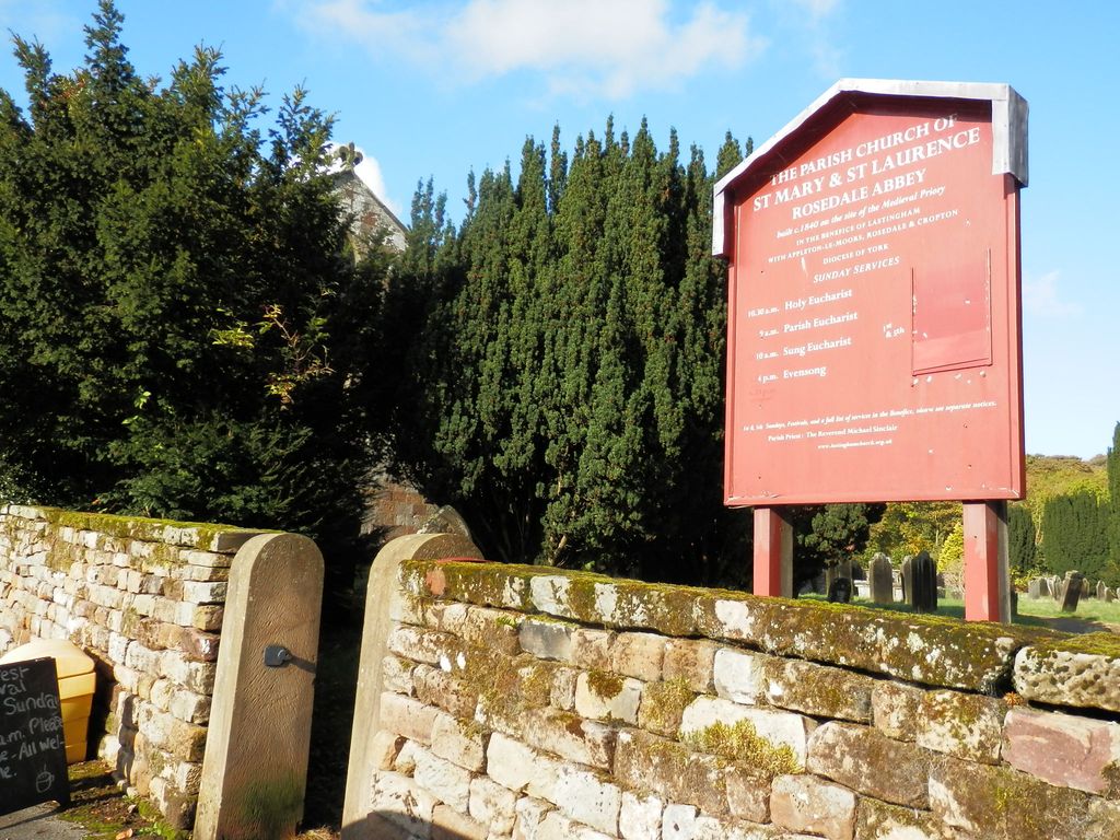
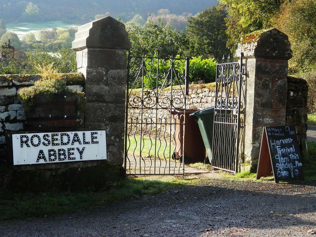
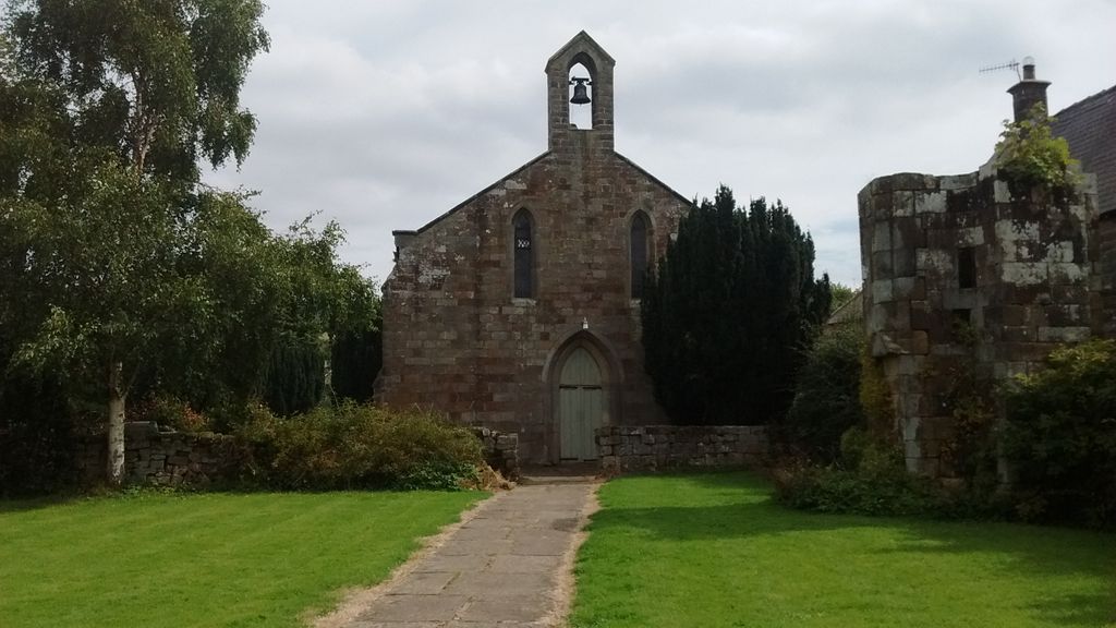
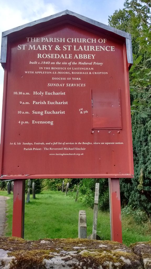
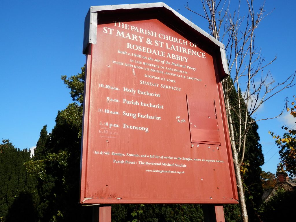
| Location | : | Rosedale Abbey, Ryedale District, England |
| Coordinate | : | 54.3537300, -0.8872700 |
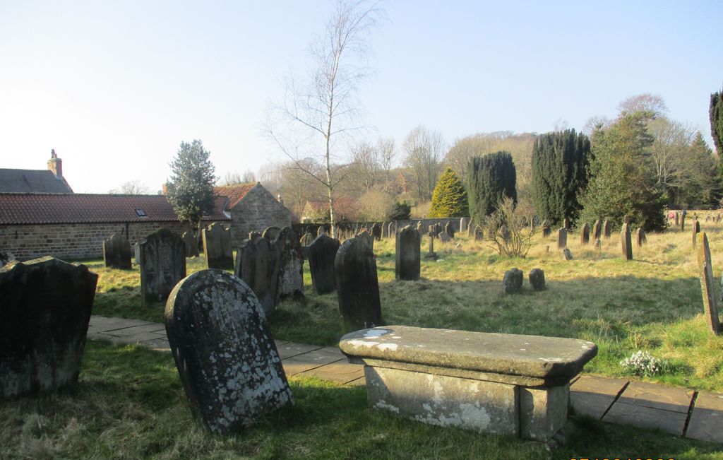
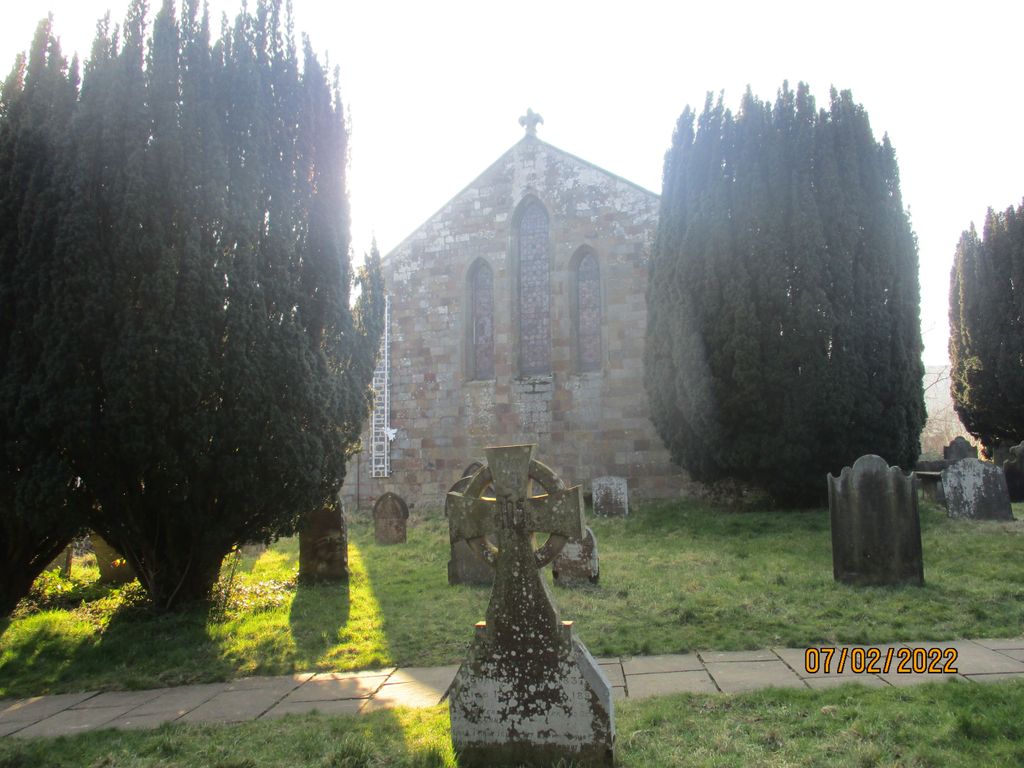
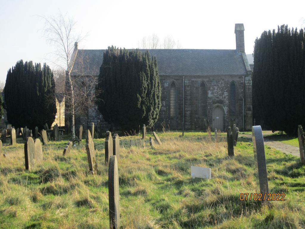
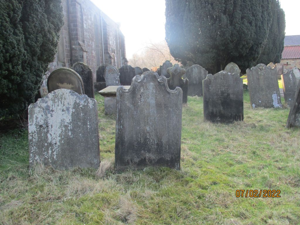
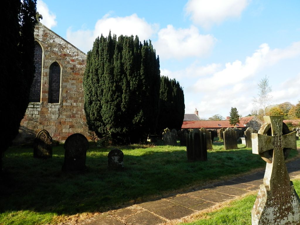
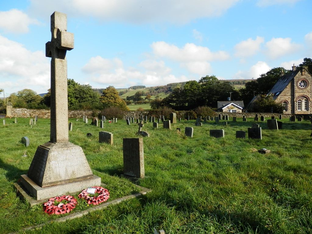
| Description | : | The churchyard is still in use, and some of the headstones predate the present 19th century church. In the church is a folder containing a plan of the churchyard and a list of burials, including those with unmarked graves. The village of Rosedale Abbey is named after the “abbey” (actually a priory) that existed here before the dissolution of the monasteries in the 16th century. Rosedale Priory was probably founded by William of Rosedale in 1154, under the Benedictine Order. It was never a large community, having about nine nuns in the care of a prioress. It’s possible that small nunneries... Read More |
frequently asked questions (FAQ):
-
Where is St Mary and St Laurence Churchyard?
St Mary and St Laurence Churchyard is located at Rosedale Abbey, Ryedale District ,North Yorkshire ,England.
-
St Mary and St Laurence Churchyard cemetery's updated grave count on graveviews.com?
0 memorials
-
Where are the coordinates of the St Mary and St Laurence Churchyard?
Latitude: 54.3537300
Longitude: -0.8872700
Nearby Cemetories:
1. St Mary Churchyard
Farndale East, Ryedale District, England
Coordinate: 54.3693000, -0.9663000
2. St Mary Churchyard
Lastingham, Ryedale District, England
Coordinate: 54.3046870, -0.8827260
3. St Chad Churchyard
Hutton-le-Hole, Ryedale District, England
Coordinate: 54.3000700, -0.9167300
4. St Aidan Churchyard
Gillamoor, Ryedale District, England
Coordinate: 54.3023510, -0.9502880
5. St. Gregory Churchyard
Cropton, Ryedale District, England
Coordinate: 54.2935460, -0.8394850
6. Christ Church Churchyard
Appleton-le-Moors, Ryedale District, England
Coordinate: 54.2832030, -0.8729120
7. Botton Village Cemetery
Danby, Scarborough Borough, England
Coordinate: 54.4290000, -0.9282700
8. Glaisdale Head Methodist Church
Glaisdale, Scarborough Borough, England
Coordinate: 54.4294940, -0.8331749
9. All Saints Churchyard
Kirkbymoorside, Ryedale District, England
Coordinate: 54.2703470, -0.9310110
10. All Saints Churchyard
Sinnington, Ryedale District, England
Coordinate: 54.2647920, -0.8556060
11. St. John’s Churchyard
Newton-on-Rawcliffe, Ryedale District, England
Coordinate: 54.3022700, -0.7520000
12. St Thomas Churchyard
Glaisdale, Scarborough Borough, England
Coordinate: 54.4373700, -0.8083400
13. St. Nicholas' Churchyard
Bransdale, Ryedale District, England
Coordinate: 54.3777000, -1.0464000
14. Westerdale Green Burial Ground
Westerdale, Scarborough Borough, England
Coordinate: 54.4409040, -0.9555864
15. Newton upon Rawcliffe Cemetery
Newton-on-Rawcliffe, Ryedale District, England
Coordinate: 54.2998382, -0.7503566
16. St Hilda Churchyard
Danby, Scarborough Borough, England
Coordinate: 54.4475240, -0.9281480
17. St. Gregory's Minster Churchyard
Kirkdale, Ryedale District, England
Coordinate: 54.2628300, -0.9622613
18. St Gregory Minster Churchyard
Nawton, Ryedale District, England
Coordinate: 54.2627570, -0.9621910
19. St Gregory Minster Churchyard Extension
Nawton, Ryedale District, England
Coordinate: 54.2628100, -0.9629100
20. St Mary Churchyard
Goathland, Scarborough Borough, England
Coordinate: 54.3950300, -0.7266400
21. Christ Church Churchyard Westerdale
Westerdale, Scarborough Borough, England
Coordinate: 54.4450870, -0.9781360
22. St Andrew Churchyard
Middleton, Ryedale District, England
Coordinate: 54.2587500, -0.8011900
23. St Andrews Churchyard
Middleton, Ryedale District, England
Coordinate: 54.2587270, -0.8009640
24. St. Michael and All Angels Churchyard
Edstone, Ryedale District, England
Coordinate: 54.2469000, -0.9188000