| Memorials | : | 0 |
| Location | : | Caversham, Reading Borough, England |
| Coordinate | : | 51.4737690, -0.9546570 |
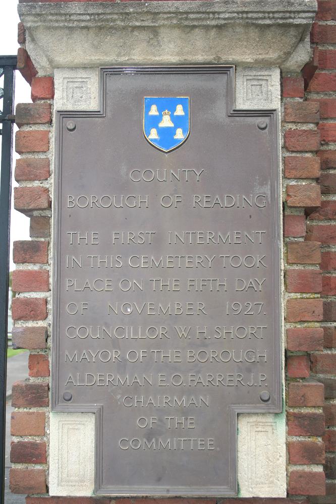
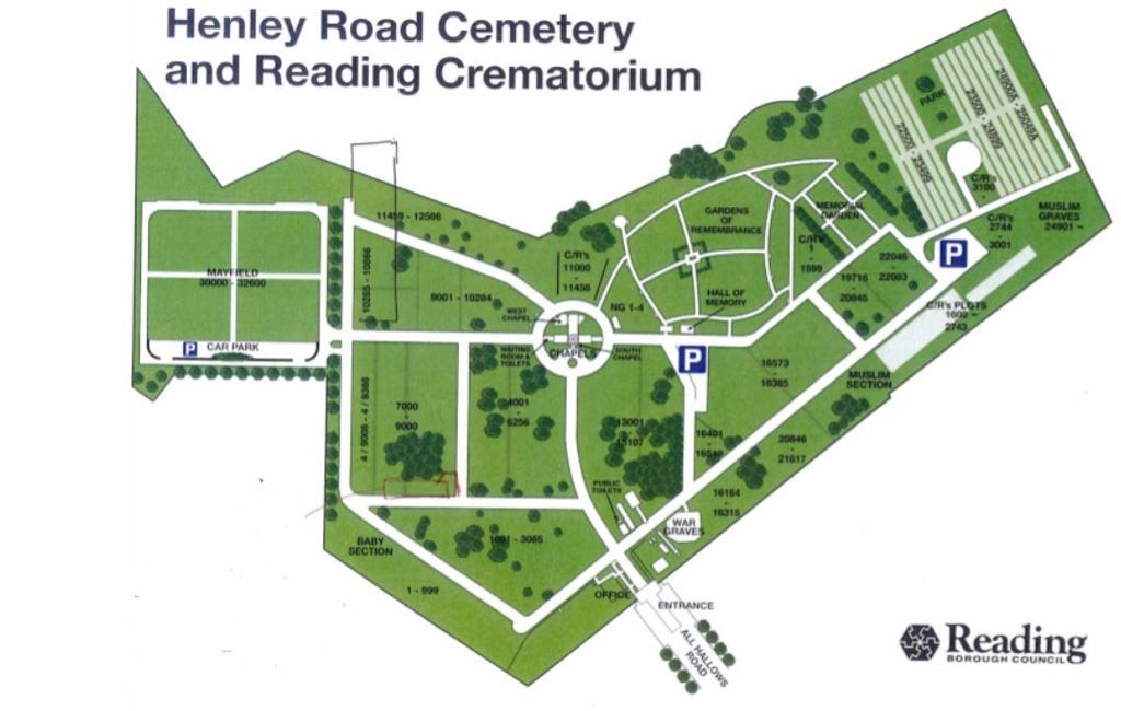
| Description | : | The Cemetery and Crematorium is located at the end of All Hallows Road in Caversham. 0118 947 2433 / 947 4102 This cemetery contains 118 Second World War burials, about half of them forming a war graves plot immediately inside the main gates. Two Polish servicemen are also buried in the plot. A screen wall within the war graves plot commemorates 30 servicemen and women of the Second World War whose remains were cremated here |
frequently asked questions (FAQ):
-
Where is Reading Cemetery and Crematorium?
Reading Cemetery and Crematorium is located at All Hallows Road Caversham, Reading Borough ,Berkshire , RG4 5LPEngland.
-
Reading Cemetery and Crematorium cemetery's updated grave count on graveviews.com?
0 memorials
-
Where are the coordinates of the Reading Cemetery and Crematorium?
Latitude: 51.4737690
Longitude: -0.9546570
Nearby Cemetories:
1. Caversham Cemetery
Caversham, Reading Borough, England
Coordinate: 51.4745850, -0.9758020
2. St. Peter's Churchyard
Caversham, Reading Borough, England
Coordinate: 51.4686597, -0.9807669
3. Reading Prison Cemetery
Reading, Reading Borough, England
Coordinate: 51.4564910, -0.9641120
4. Reading Abbey Ruins
Reading, Reading Borough, England
Coordinate: 51.4563710, -0.9651130
5. All Saints Churchyard
Dunsden Green, South Oxfordshire District, England
Coordinate: 51.4917730, -0.9461650
6. St. Laurence Churchyard
Reading, Reading Borough, England
Coordinate: 51.4567474, -0.9686236
7. Reading Cemetery
Reading, Reading Borough, England
Coordinate: 51.4529450, -0.9480160
8. Greyfriars Churchyard
Reading, Reading Borough, England
Coordinate: 51.4567920, -0.9764880
9. St. Mary's Churchyard
Reading, Reading Borough, England
Coordinate: 51.4544953, -0.9735278
10. St Giles Churchyard
Reading, Reading Borough, England
Coordinate: 51.4509510, -0.9704450
11. St. Andrew's Churchyard
Sonning, Wokingham Borough, England
Coordinate: 51.4740300, -0.9131640
12. Earley St Peter Churchyard
Earley, Wokingham Borough, England
Coordinate: 51.4434820, -0.9290850
13. Mays Lane Burial Ground
Earley, Wokingham Borough, England
Coordinate: 51.4431680, -0.9240020
14. Kidmore End Cemetery
Kidmore End, South Oxfordshire District, England
Coordinate: 51.5071600, -0.9942160
15. St. John the Baptist Churchyard
Kidmore End, South Oxfordshire District, England
Coordinate: 51.5085170, -0.9951240
16. St. Peter and St. Paul Churchyard
Shiplake, South Oxfordshire District, England
Coordinate: 51.4980750, -0.8963940
17. Chapel of St Michael the Archangel
Mapledurham, South Oxfordshire District, England
Coordinate: 51.4849140, -1.0355910
18. St. Margaret's Churchyard
Mapledurham, South Oxfordshire District, England
Coordinate: 51.4850830, -1.0364690
19. St Mary the Virgin Cemetery
Purley on Thames, West Berkshire Unitary Authority, England
Coordinate: 51.4797100, -1.0402200
20. St Mary's Churchyard
Twyford, Wokingham Borough, England
Coordinate: 51.4763850, -0.8673190
21. All Saints Churchyard
Rotherfield Peppard, South Oxfordshire District, England
Coordinate: 51.5280531, -0.9725009
22. St. Mary's Churchyard
Wargrave, Wokingham Borough, England
Coordinate: 51.4998329, -0.8735808
23. St Margaret's Churchyard
Harpsden, South Oxfordshire District, England
Coordinate: 51.5219160, -0.9012270
24. St. Nicholas' Churchyard
Rotherfield Greys, South Oxfordshire District, England
Coordinate: 51.5351017, -0.9541395


