
| Memorials | : | 1 |
| Location | : | Beaulieu, New Forest District, England |
| Coordinate | : | 50.8216320, -1.4501550 |
frequently asked questions (FAQ):
-
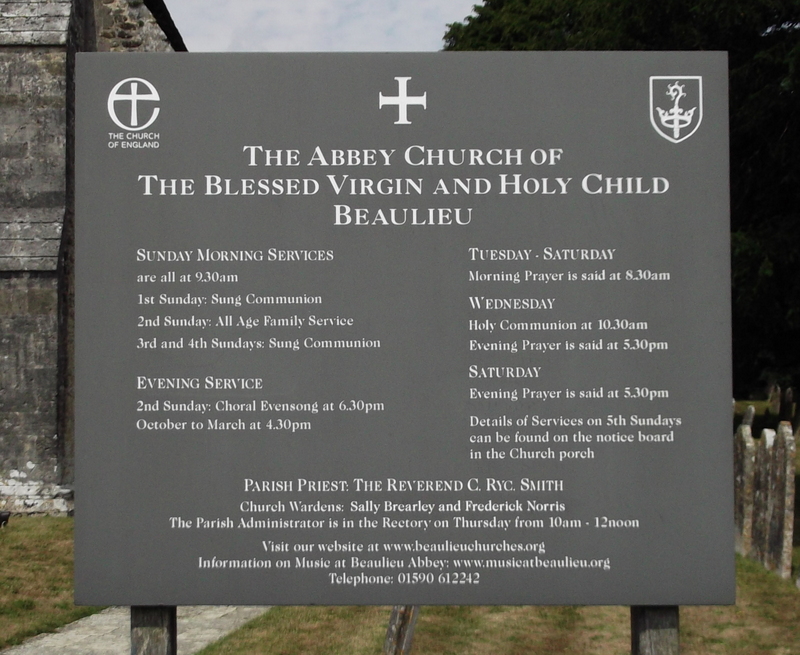
Where is Blessed Virgin and Holy Child Churchyard?
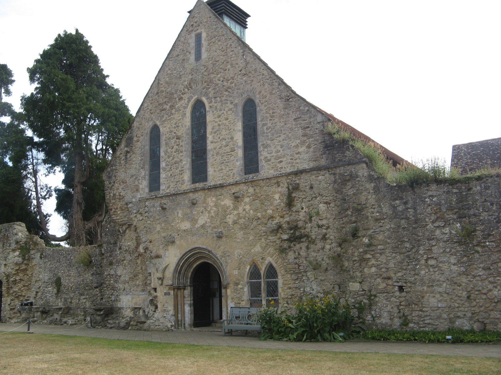
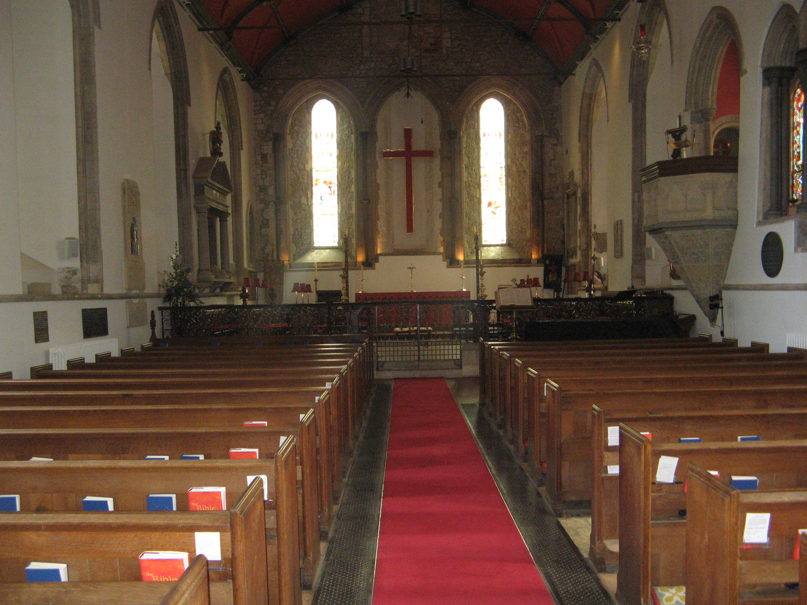
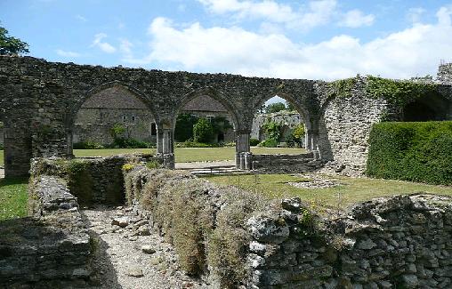
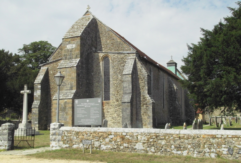
Blessed Virgin and Holy Child Churchyard is located at Beaulieu, New Forest District ,Hampshire , SO42 7YGEngland.
-
Blessed Virgin and Holy Child Churchyard cemetery's updated grave count on graveviews.com?
1 memorials
-
Where are the coordinates of the Blessed Virgin and Holy Child Churchyard?
Latitude: 50.8216320
Longitude: -1.4501550
Nearby Cemetories:
1. Beaulieu Cemetery
Beaulieu, New Forest District, England
Coordinate: 50.8046600, -1.4594000
2. East Boldre Old Chapelyard
East Boldre, New Forest District, England
Coordinate: 50.8100600, -1.4756000
3. East Boldre Baptist Chapelyard
East Boldre, New Forest District, England
Coordinate: 50.8044770, -1.4707650
4. St Paul Churchyard
East Boldre, New Forest District, England
Coordinate: 50.8011710, -1.4693300
5. St Katherine Churchyard
Exbury and Lepe, New Forest District, England
Coordinate: 50.8003950, -1.3957510
6. Blackfield Cemetery
Blackfield, New Forest District, England
Coordinate: 50.8146700, -1.3756600
7. All Saints Churchyard
Dibden, New Forest District, England
Coordinate: 50.8753020, -1.4362590
8. Waterside Methodist Chapelyard
Fawley, New Forest District, England
Coordinate: 50.8245300, -1.3597900
9. St John the Baptist Churchyard
Hythe, New Forest District, England
Coordinate: 50.8688500, -1.3985000
10. St Mary Churchyard
South Baddesley, New Forest District, England
Coordinate: 50.7691430, -1.5026160
11. All Saints Churchyard
Fawley, New Forest District, England
Coordinate: 50.8297700, -1.3522200
12. St. John The Baptist Churchyard
Boldre, New Forest District, England
Coordinate: 50.7924070, -1.5422530
13. Falklands War Memorial
Marchwood, New Forest District, England
Coordinate: 50.8898280, -1.4533250
14. St John the Apostle Churchyard
Marchwood, New Forest District, England
Coordinate: 50.8900300, -1.4530700
15. St Nicholas Churchyard
Brockenhurst, New Forest District, England
Coordinate: 50.8146060, -1.5681240
16. St. Julien's Church
Southampton, Southampton Unitary Authority, England
Coordinate: 50.8965000, -1.4036000
17. St Lawrence with St John Churchyard
Southampton, Southampton Unitary Authority, England
Coordinate: 50.8977570, -1.4052470
18. Christ Church Churchyard
Ashurst, New Forest District, England
Coordinate: 50.8960200, -1.5054200
19. St Michael the Archangel Churchyard
Southampton, Southampton Unitary Authority, England
Coordinate: 50.8996200, -1.4056900
20. Holyrood Churchyard
Southampton, Southampton Unitary Authority, England
Coordinate: 50.8996600, -1.4035300
21. Holyrood Church
Southampton Unitary Authority, England
Coordinate: 50.8997498, -1.4034560
22. All Saints Catacombs and Burial Ground (Defunct)
Southampton, Southampton Unitary Authority, England
Coordinate: 50.9013350, -1.4021500
23. Holy Trinity Churchyard
Southampton, Southampton Unitary Authority, England
Coordinate: 50.8896750, -1.3659150
24. St. Thomas the Apostle Churchyard
Lymington, New Forest District, England
Coordinate: 50.7576410, -1.5451200