| Memorials | : | 0 |
| Location | : | Lyndhurst, New Forest District, England |
| Coordinate | : | 50.8723000, -1.5644600 |
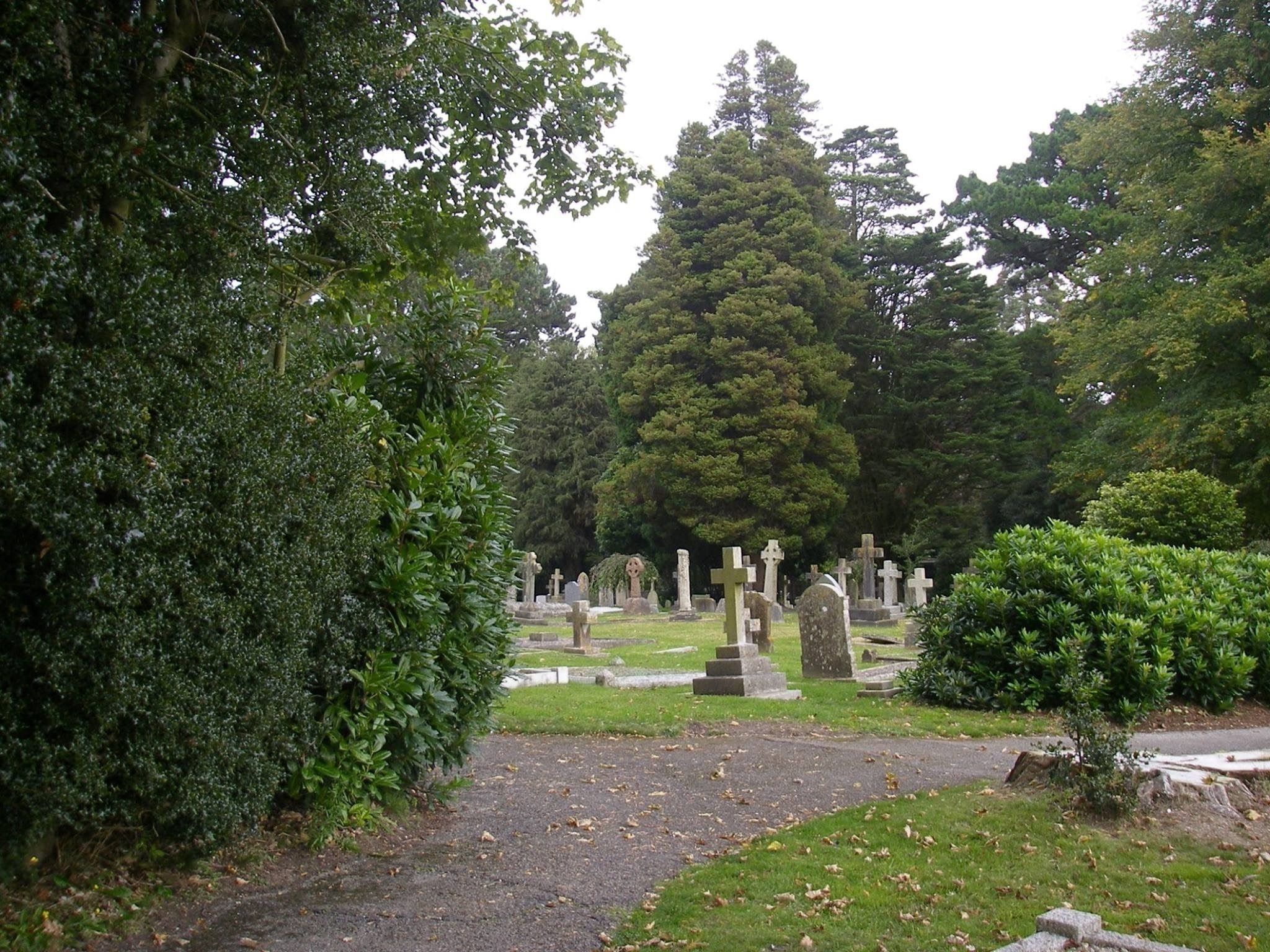
| Description | : | This public cemetery is owned and operated by the Lundhurst Parish Council. Lyndhurst is a large village and civil parish situated in the New Forest National Park in Hampshire.The nearest city is Southampton, about nine miles to the north-east. Known as the "Capital of the New Forest", Lyndhurst houses the New Forest District Council. The Parish Cemetery is situated in the heart of the New Forest near the area of Bolton's Bench, Lyndhurst. It occupies a quiet spot yet is within walking distance of the village centre along a tarmac [blacktop]track. There is a small Chapel which is used... Read More |
frequently asked questions (FAQ):
-
Where is Lyndhurst Cemetery?
Lyndhurst Cemetery is located at Beaulieu Road Lyndhurst, New Forest District ,Hampshire , SO43 7BTEngland.
-
Lyndhurst Cemetery cemetery's updated grave count on graveviews.com?
0 memorials
-
Where are the coordinates of the Lyndhurst Cemetery?
Latitude: 50.8723000
Longitude: -1.5644600
Nearby Cemetories:
1. St Michael and All Angels Churchyard
Lyndhurst, New Forest District, England
Coordinate: 50.8722520, -1.5778710
2. Christ Church Churchyard
Emery Down, New Forest District, England
Coordinate: 50.8742900, -1.5935600
3. All Saints Churchyard
Minstead, New Forest District, England
Coordinate: 50.8967200, -1.6017160
4. Christ Church Churchyard
Ashurst, New Forest District, England
Coordinate: 50.8960200, -1.5054200
5. St. Matthew's Churchyard
Netley Marsh, New Forest District, England
Coordinate: 50.9161620, -1.5285530
6. St Nicholas Churchyard
Brockenhurst, New Forest District, England
Coordinate: 50.8146060, -1.5681240
7. St. Mary's Churchyard
Copythorne, New Forest District, England
Coordinate: 50.9307300, -1.5641400
8. Eling Cemetery
Eling, New Forest District, England
Coordinate: 50.9092640, -1.4817810
9. St. Mary the Virgin Churchyard
Eling, New Forest District, England
Coordinate: 50.9103000, -1.4795700
10. Falklands War Memorial
Marchwood, New Forest District, England
Coordinate: 50.8898280, -1.4533250
11. St John the Apostle Churchyard
Marchwood, New Forest District, England
Coordinate: 50.8900300, -1.4530700
12. All Saints Churchyard
Dibden, New Forest District, England
Coordinate: 50.8753020, -1.4362590
13. St. John The Baptist Churchyard
Boldre, New Forest District, England
Coordinate: 50.7924070, -1.5422530
14. Holy Trinity Churchyard
Millbrook, Southampton Unitary Authority, England
Coordinate: 50.9158400, -1.4535100
15. Millbrook Cemetery
Millbrook, Southampton Unitary Authority, England
Coordinate: 50.9164900, -1.4526100
16. East Boldre Old Chapelyard
East Boldre, New Forest District, England
Coordinate: 50.8100600, -1.4756000
17. Sway Cemetery
Sway, New Forest District, England
Coordinate: 50.7930690, -1.6131930
18. St. Peter's Churchyard
Bramshaw, New Forest District, England
Coordinate: 50.9485800, -1.6245700
19. St. Nicholas Churchyard
Millbrook, Southampton Unitary Authority, England
Coordinate: 50.9139100, -1.4439800
20. St Boniface Churchyard
Nursling, Test Valley Borough, England
Coordinate: 50.9464660, -1.4896760
21. Blessed Virgin and Holy Child Churchyard
Beaulieu, New Forest District, England
Coordinate: 50.8216320, -1.4501550
22. East Boldre Baptist Chapelyard
East Boldre, New Forest District, England
Coordinate: 50.8044770, -1.4707650
23. Burley Chapel Cemetery
Burley, New Forest District, England
Coordinate: 50.8313000, -1.6930000
24. St Luke Churchyard
Sway, New Forest District, England
Coordinate: 50.7839000, -1.6058800


