
| Memorials | : | 1 |
| Location | : | Dorchester, West Dorset District, England |
| Coordinate | : | 50.7155740, -2.4369030 |
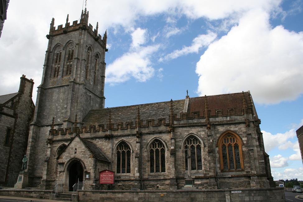
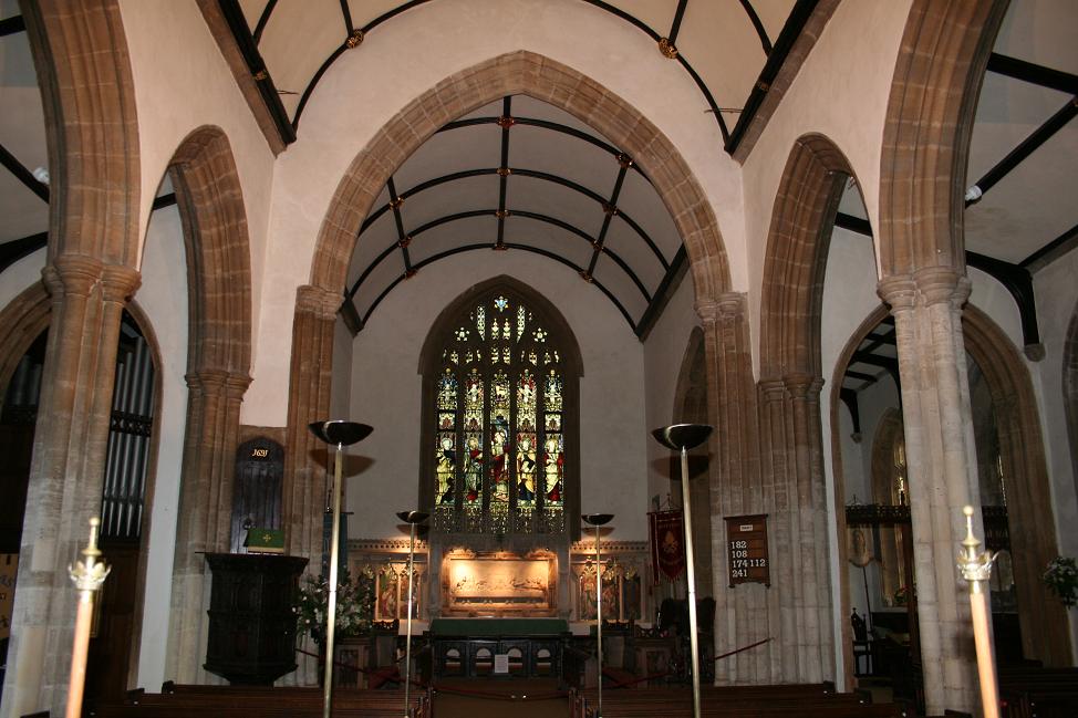
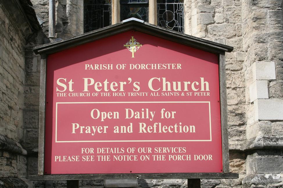
| Description | : | The full dedication of the church is to the Holy Trinity, St Peter and All Saints. The earliest church on this site was Norman. In 1420, in the reign of Henry V, Robert Grenelefe left 20 marks to ‘the fabric of the new construction of the body of the church'. Much of the present building dates from around this time. The church was extensively restored between 1991 and 1994. |
frequently asked questions (FAQ):
-
Where is St. Peter's Church?
St. Peter's Church is located at 26 High East Street Dorchester, West Dorset District ,Dorset , DT1 1EZEngland.
-
St. Peter's Church cemetery's updated grave count on graveviews.com?
1 memorials
-
Where are the coordinates of the St. Peter's Church?
Latitude: 50.7155740
Longitude: -2.4369030
Nearby Cemetories:
1. Holy Trinity Church
Dorchester, West Dorset District, England
Coordinate: 50.7154890, -2.4379470
2. All Saints Churchyard
Dorchester, West Dorset District, England
Coordinate: 50.7153670, -2.4355750
3. Dorchester Gaol Cemetery
Dorchester, West Dorset District, England
Coordinate: 50.7153670, -2.4355750
4. Greyfriars Churchyard
Dorchester, West Dorset District, England
Coordinate: 50.7172150, -2.4354070
5. Dorchester Gallows Hill Cemetery
Dorchester, West Dorset District, England
Coordinate: 50.7127930, -2.4315480
6. St George's Churchyard
Fordington, West Dorset District, England
Coordinate: 50.7136510, -2.4286550
7. Fordington Cemetery
Dorchester, West Dorset District, England
Coordinate: 50.7131110, -2.4263720
8. Maumbury Rings Cemetery
Dorchester, West Dorset District, England
Coordinate: 50.7079000, -2.4403900
9. Dorchester Cemetery
Dorchester, West Dorset District, England
Coordinate: 50.7062110, -2.4422800
10. Poundbury Cemetery
Dorchester, West Dorset District, England
Coordinate: 50.7181090, -2.4544830
11. St Mary the Virgin Churchyard
Charminster, West Dorset District, England
Coordinate: 50.7330600, -2.4557900
12. Charminster Cemetery
Charminster, Bournemouth Unitary Authority, England
Coordinate: 50.7341430, -2.4627060
13. West Stafford New Burial Ground
Dorchester, West Dorset District, England
Coordinate: 50.7050192, -2.3872764
14. St. Mary's Churchyard
Bradford Peverell, West Dorset District, England
Coordinate: 50.7356600, -2.4857900
15. St. Martin's Churchyard
Broadmayne, West Dorset District, England
Coordinate: 50.6787530, -2.3856840
16. Holy Trinity
Bincombe, West Dorset District, England
Coordinate: 50.6598000, -2.4449000
17. St Laurence Churchyard
Upwey, Weymouth and Portland Borough, England
Coordinate: 50.6658560, -2.4813840
18. St Mary the Virgin Churchyard
Piddlehinton, West Dorset District, England
Coordinate: 50.7732980, -2.4045680
19. Holy Trinity Churchyard
Godmanstone, West Dorset District, England
Coordinate: 50.7748310, -2.4750600
20. St. Mary the Virgin Churchyard
Puddletown, West Dorset District, England
Coordinate: 50.7484670, -2.3434700
21. Broadwey New Cemetery
Broadwey, Weymouth and Portland Borough, England
Coordinate: 50.6512040, -2.4702530
22. St Nicholas Churchyard
Broadwey, Weymouth and Portland Borough, England
Coordinate: 50.6504630, -2.4712110
23. St. Mary's Churchyard
Frampton, West Dorset District, England
Coordinate: 50.7531080, -2.5301730
24. All Saints
Nether Cerne, West Dorset District, England
Coordinate: 50.7824394, -2.4695370