| Memorials | : | 14 |
| Location | : | Stone-cum-Ebony, Ashford Borough, England |
| Coordinate | : | 51.0378926, 0.7422129 |
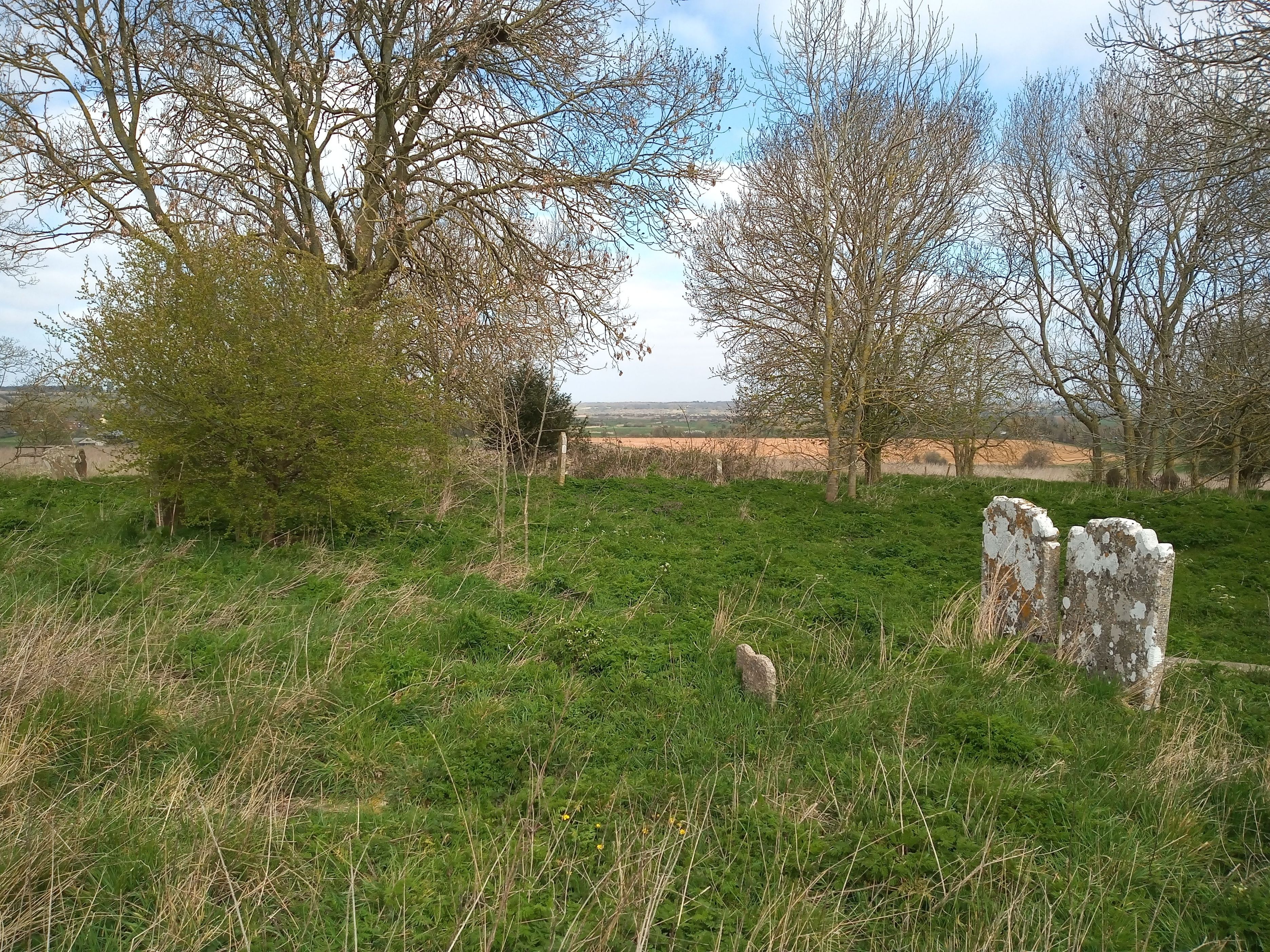
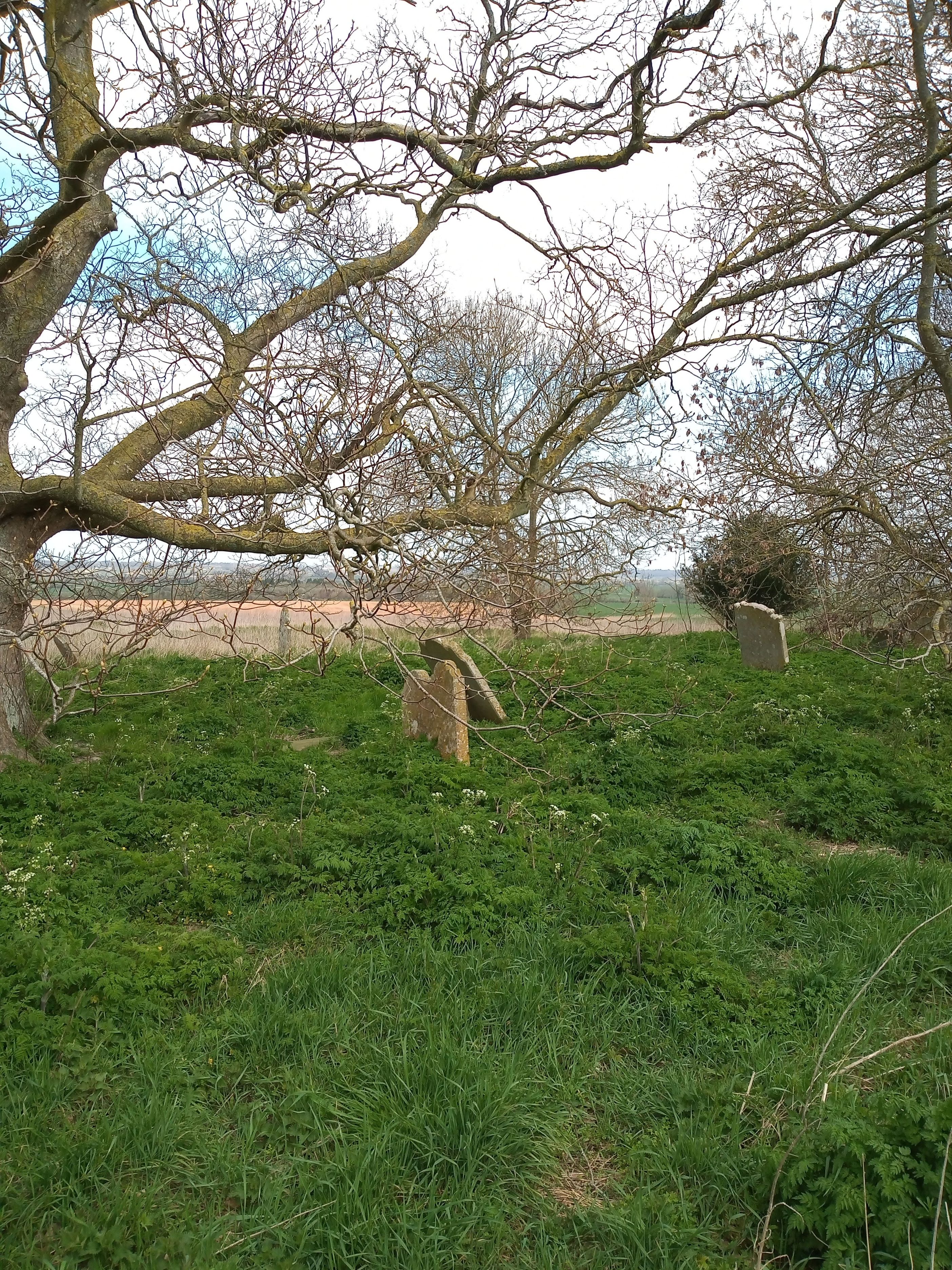
| Description | : | Ebony was formerly an island surrounded by marsh and the tidal waters of the River Rother. At the top of the most prominent part of the high ground, known as Chapel Bank, is the churchyard of the original Ebony Church, St Mary the Virgin. After lightning and fire damage the remains of the church, built of local ragstone, were moved by the Victorians in 1858 to the present location at nearby Reading Street, and restored. It has been suggested that references to King Osred II of Northumbria's exile at 'Ebonia' (Evania) in the Annals of Roger of Hoveden may refer... Read More |
frequently asked questions (FAQ):
-
Where is Ebony Old Cemetery?
Ebony Old Cemetery is located at Stone-cum-Ebony, Ashford Borough ,Kent ,England.
-
Ebony Old Cemetery cemetery's updated grave count on graveviews.com?
14 memorials
-
Where are the coordinates of the Ebony Old Cemetery?
Latitude: 51.0378926
Longitude: 0.7422129
Nearby Cemetories:
1. St. Mary the Virgin Churchyard
Reading Street, Ashford Borough, England
Coordinate: 51.0431442, 0.7400970
2. St John the Baptist
Small Hythe, Ashford Borough, England
Coordinate: 51.0396260, 0.6996060
3. St Mary the Virgin Churchyard
Stone-cum-Ebony, Ashford Borough, England
Coordinate: 51.0127980, 0.7645592
4. St Peter and St Paul Churchyard
Appledore, Ashford Borough, England
Coordinate: 51.0295660, 0.7903990
5. Wittersham
Wittersham, Ashford Borough, England
Coordinate: 51.0115600, 0.7016000
6. St. Mildred's Churchyard
Tenterden, Ashford Borough, England
Coordinate: 51.0686264, 0.6870960
7. All Saints Churchyard
Woodchurch, Ashford Borough, England
Coordinate: 51.0807110, 0.7709980
8. Unitarian Old Meeting House
Tenterden, Ashford Borough, England
Coordinate: 51.0717468, 0.6906880
9. Station Road Extension
Tenterden, Ashford Borough, England
Coordinate: 51.0686640, 0.6852830
10. St. Thomas à Becket Cemetery
Fairfield, Shepway District, England
Coordinate: 51.0043210, 0.7993930
11. St Mary's Churchyard
Kenardington, Ashford Borough, England
Coordinate: 51.0546000, 0.8164000
12. Tenterden Cemetery
Tenterden, Ashford Borough, England
Coordinate: 51.0676820, 0.6737140
13. Iden Burial Ground
Iden, Rother District, England
Coordinate: 50.9813000, 0.7275300
14. All Saints Churchyard
Iden, Rother District, England
Coordinate: 50.9812930, 0.7275500
15. St. Michael and All Angels Churchyard
Tenterden, Ashford Borough, England
Coordinate: 51.0867424, 0.6894140
16. St. Dunstan Churchyard
Snargate, Shepway District, England
Coordinate: 51.0227100, 0.8371750
17. St. Matthew Churchyard
Warehorne, Ashford Borough, England
Coordinate: 51.0575460, 0.8375700
18. St. Mary the Virgin Churchyard
High Halden, Ashford Borough, England
Coordinate: 51.1028950, 0.7148620
19. St Augustine Church
Brookland, Shepway District, England
Coordinate: 50.9973880, 0.8337460
20. St. Mary the Virgin Churchyard
Rolvenden, Ashford Borough, England
Coordinate: 51.0506590, 0.6310280
21. Brenzett Cemetery
Brenzett, Shepway District, England
Coordinate: 51.0130800, 0.8561300
22. St. Michael's Churchyard
Playden, Rother District, England
Coordinate: 50.9621200, 0.7327000
23. St Enswith's Church
Brenzett, Shepway District, England
Coordinate: 51.0138510, 0.8573170
24. Rye Cemetery
Rye, Rother District, England
Coordinate: 50.9595370, 0.7322520


