
| Memorials | : | 434 |
| Location | : | Wittersham, Ashford Borough, England |
| Coordinate | : | 51.0115600, 0.7016000 |
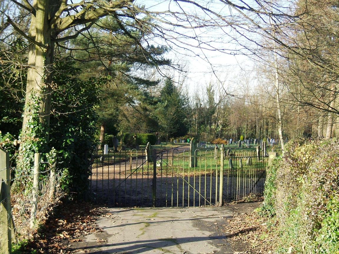
| Description | : | Wittersham Cemetery is run by the parish council |
frequently asked questions (FAQ):
-
Where is Wittersham?
Wittersham is located at The Street Wittersham, Ashford Borough ,Kent ,England.
-
Wittersham cemetery's updated grave count on graveviews.com?
417 memorials
-
Where are the coordinates of the Wittersham?
Latitude: 51.0115600
Longitude: 0.7016000
Nearby Cemetories:
1. St John the Baptist
Small Hythe, Ashford Borough, England
Coordinate: 51.0396260, 0.6996060
2. Iden Burial Ground
Iden, Rother District, England
Coordinate: 50.9813000, 0.7275300
3. All Saints Churchyard
Iden, Rother District, England
Coordinate: 50.9812930, 0.7275500
4. Ebony Old Cemetery
Stone-cum-Ebony, Ashford Borough, England
Coordinate: 51.0378926, 0.7422129
5. St Mary the Virgin Churchyard
Stone-cum-Ebony, Ashford Borough, England
Coordinate: 51.0127980, 0.7645592
6. St. Mary the Virgin Churchyard
Reading Street, Ashford Borough, England
Coordinate: 51.0431442, 0.7400970
7. Saint Peter & Saint Paul Church Churchyard
Peasmarsh, Rother District, England
Coordinate: 50.9645500, 0.6859200
8. St. Michael's Churchyard
Playden, Rother District, England
Coordinate: 50.9621200, 0.7327000
9. St Peter's Church
Newenden, Ashford Borough, England
Coordinate: 51.0157750, 0.6137190
10. Rye Cemetery
Rye, Rother District, England
Coordinate: 50.9595370, 0.7322520
11. All Saints Churchyard
Beckley, Rother District, England
Coordinate: 50.9832400, 0.6245300
12. St. Mildred's Churchyard
Tenterden, Ashford Borough, England
Coordinate: 51.0686264, 0.6870960
13. Station Road Extension
Tenterden, Ashford Borough, England
Coordinate: 51.0686640, 0.6852830
14. St Peter and St Paul Churchyard
Appledore, Ashford Borough, England
Coordinate: 51.0295660, 0.7903990
15. Tenterden Cemetery
Tenterden, Ashford Borough, England
Coordinate: 51.0676820, 0.6737140
16. St. Mary the Virgin Churchyard
Rolvenden, Ashford Borough, England
Coordinate: 51.0506590, 0.6310280
17. Unitarian Old Meeting House
Tenterden, Ashford Borough, England
Coordinate: 51.0717468, 0.6906880
18. St. Thomas à Becket Cemetery
Fairfield, Shepway District, England
Coordinate: 51.0043210, 0.7993930
19. St Mary's Churchyard
Northiam, Rother District, England
Coordinate: 50.9911250, 0.6061390
20. St Mary the Virgin Churchyard
Rye, Rother District, England
Coordinate: 50.9501686, 0.7341530
21. Northiam Cemetery
Northiam, Rother District, England
Coordinate: 50.9926872, 0.5984631
22. St. Michael and All Angels Churchyard
Tenterden, Ashford Borough, England
Coordinate: 51.0867424, 0.6894140
23. Saint Mary Churchyard
Udimore, Rother District, England
Coordinate: 50.9399770, 0.6508420
24. Holy Spirit Churchyard
Rye Harbour, Rother District, England
Coordinate: 50.9387970, 0.7567050