
| Memorials | : | 1 |
| Location | : | Coniston Cold, Craven District, England |
| Coordinate | : | 53.9944380, -2.1493870 |
frequently asked questions (FAQ):
-
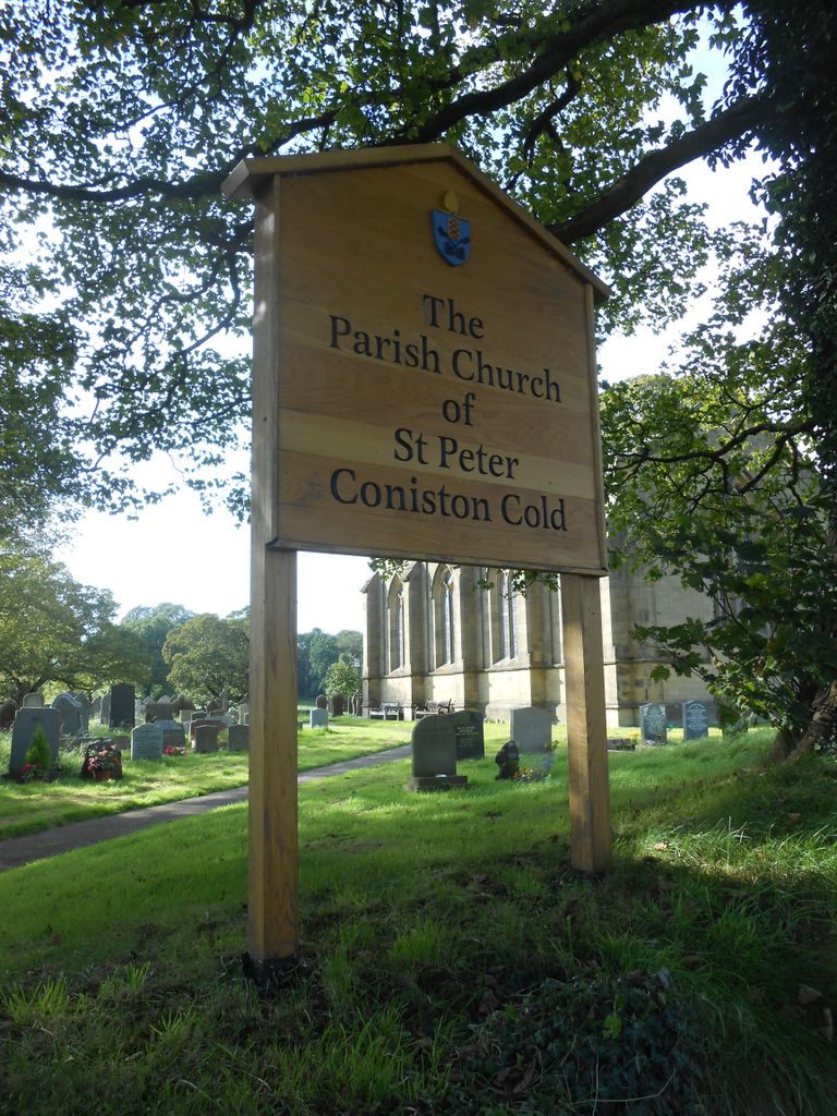
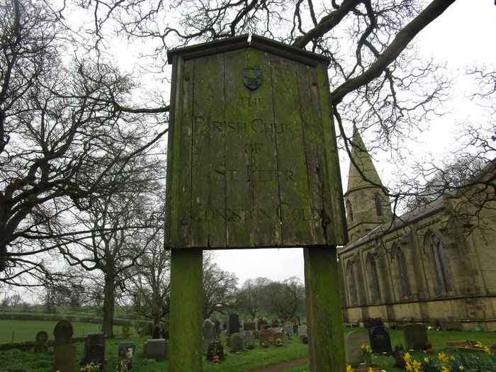
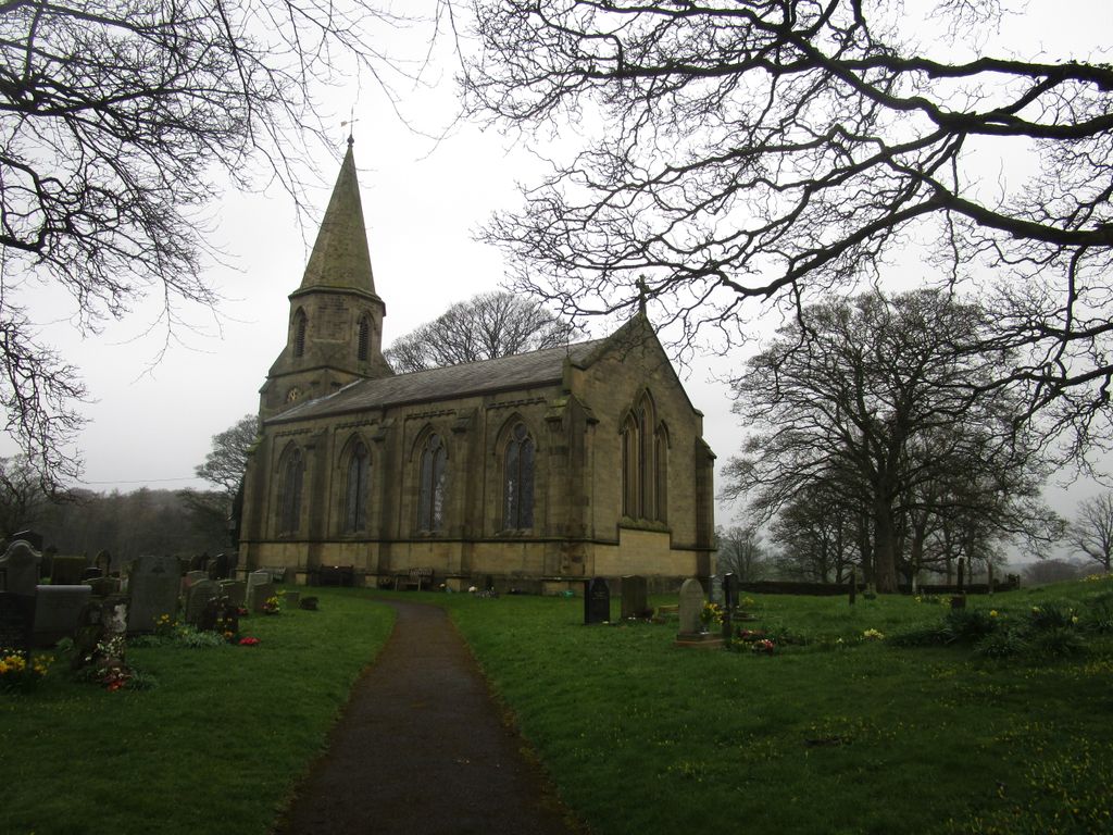
Where is St. Peter's Churchyard?
St. Peter's Churchyard is located at Coniston Cold, Craven District ,North Yorkshire , BD23 4EAEngland.
-
St. Peter's Churchyard cemetery's updated grave count on graveviews.com?
1 memorials
-
Where are the coordinates of the St. Peter's Churchyard?
Latitude: 53.9944380
Longitude: -2.1493870

Nearby Cemetories:
1. St Andrew Churchyard
Gargrave, Craven District, England
Coordinate: 53.9811830, -2.1054420
2. St Peter Church
Martons Both, Craven District, England
Coordinate: 53.9522630, -2.1415720
3. St. Peter's Churchyard
Martons Both, Craven District, England
Coordinate: 53.9522064, -2.1413111
4. St. Aidan's Churchyard
Hellifield, Craven District, England
Coordinate: 54.0042070, -2.2201370
5. St Michael the Archangel Churchyard
Kirkby Malham, Craven District, England
Coordinate: 54.0448480, -2.1628540
6. All Saints Churchyard
Broughton, Craven District, England
Coordinate: 53.9492880, -2.1019580
7. St Mary the Virgin Churchyard
Thornton-in-Craven, Craven District, England
Coordinate: 53.9311350, -2.1513350
8. St Mary the Virgin Churchyard
Long Preston, Craven District, England
Coordinate: 54.0183790, -2.2497690
9. Saint Mary-le-Ghyll
Barnoldswick, Pendle Borough, England
Coordinate: 53.9279505, -2.1647004
10. Long Preston Baptist Chapel
Long Preston, Craven District, England
Coordinate: 54.0204249, -2.2560031
11. Ghyll Cemetery
Barnoldswick, Pendle Borough, England
Coordinate: 53.9271100, -2.1646700
12. St Peter Churchyard
Rylstone, Craven District, England
Coordinate: 54.0253360, -2.0445780
13. Saint Michael's Church
Bracewell, Pendle Borough, England
Coordinate: 53.9322400, -2.2099730
14. Tarn Moor Memorial Woodland Burial Ground
Skipton, Craven District, England
Coordinate: 53.9759590, -2.0254260
15. Earby Cemetery
Earby, Pendle Borough, England
Coordinate: 53.9189987, -2.1370001
16. St Mary the Virgin Churchyard
Carleton, Craven District, England
Coordinate: 53.9442300, -2.0417800
17. St Stephen Roman Catholic Churchyard
Skipton, Craven District, England
Coordinate: 53.9631760, -2.0210240
18. Raikes Road Burial Ground
Skipton, Craven District, England
Coordinate: 53.9643822, -2.0196819
19. Salterforth Cemetery
Salterforth, Pendle Borough, England
Coordinate: 53.9123170, -2.1654010
20. Waltonwrays Cemetery and Skipton Crematorium
Skipton, Craven District, England
Coordinate: 53.9505500, -2.0272300
21. Holy Trinity Churchyard
Skipton, Craven District, England
Coordinate: 53.9633250, -2.0161180
22. Skipton War Memorial
Skipton, Craven District, England
Coordinate: 53.9627100, -2.0161680
23. Christ Churchyard
Skipton, Craven District, England
Coordinate: 53.9581200, -2.0188910
24. St. Andrew's Churchyard
Skipton, Craven District, England
Coordinate: 53.9609959, -2.0140994