| Memorials | : | 12 |
| Location | : | Gargrave, Craven District, England |
| Coordinate | : | 53.9811830, -2.1054420 |
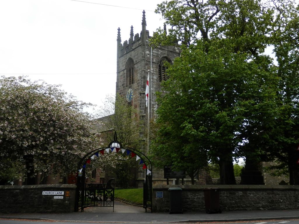
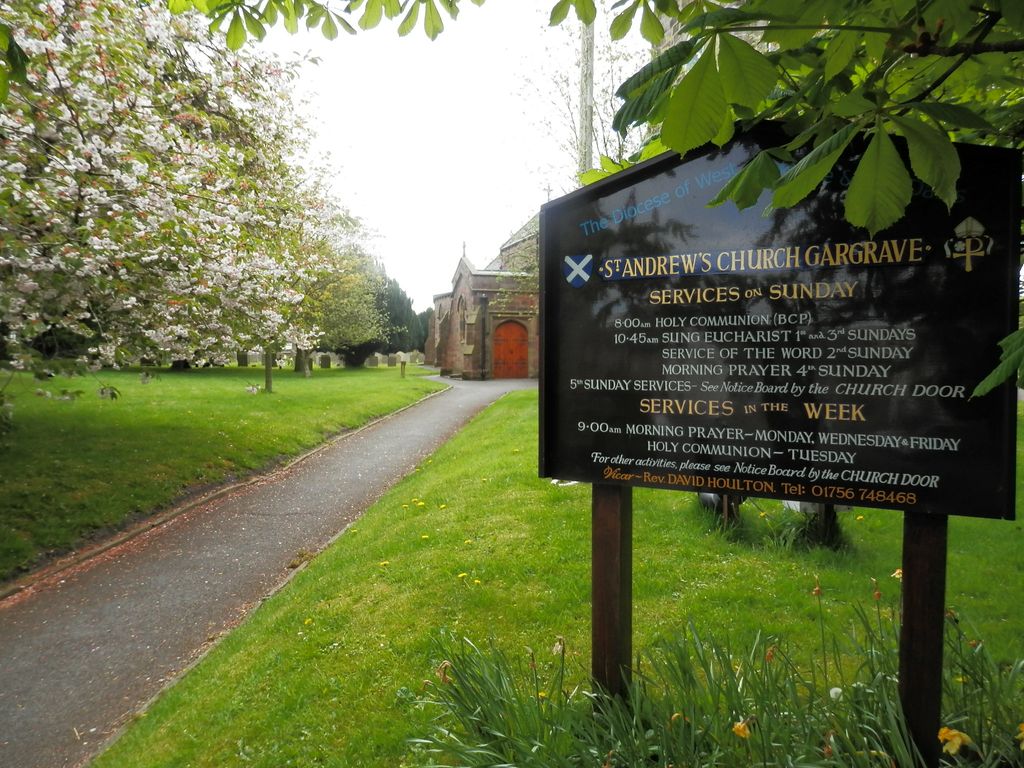
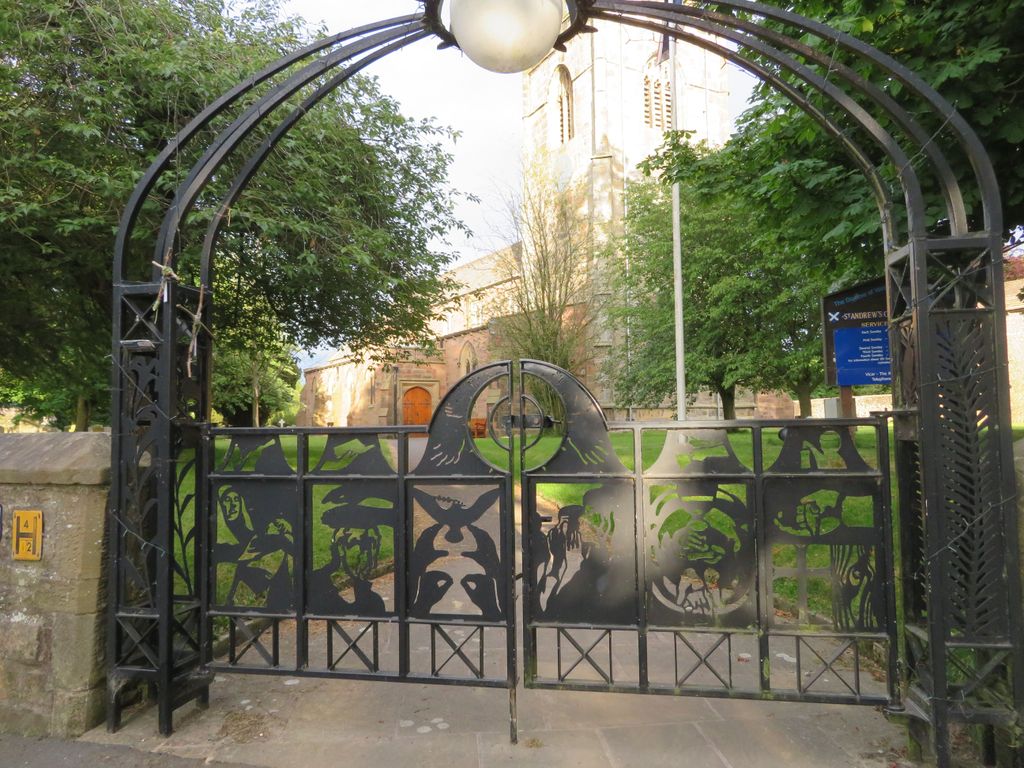
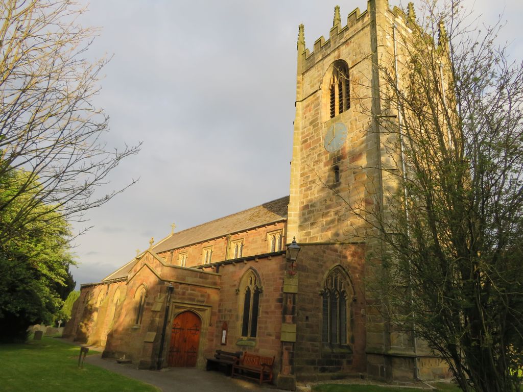
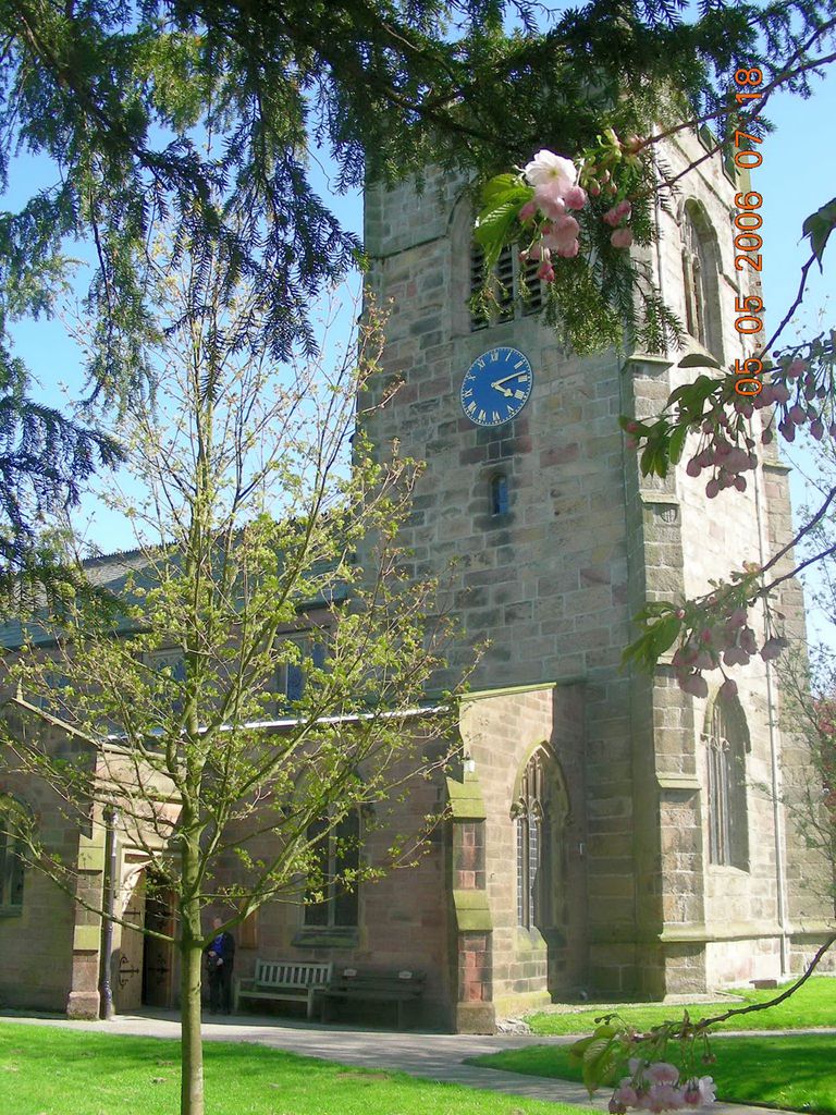
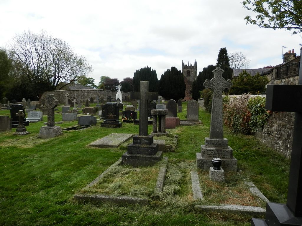
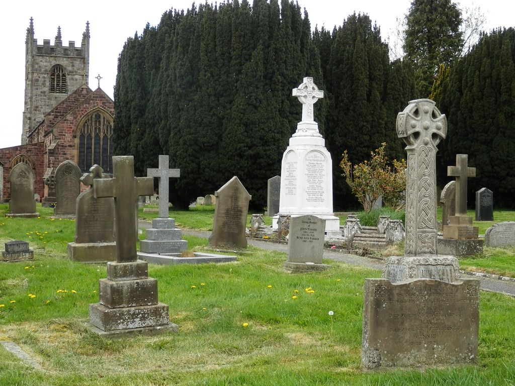
| Description | : | St Andrew’s Church is the center of worship in the ancient parish of Gargrave (Church of England). Gargrave is mentioned in the Doomsday book (ca 1086) but was probably a place of worship before then. Fragments of Anglo-Saxon crosses (likely 9th and 10th centuries) were found during the rebuilding of the church and are currently on display in the church. These crosses may have marked the burial locations of prominent residents. The current church tower dates from the 1500s with the remainder of the building reconstructed in 1852. The stone for the church tower may have been salvaged from a... Read More |
frequently asked questions (FAQ):
-
Where is St Andrew Churchyard?
St Andrew Churchyard is located at Church Lane Gargrave, Craven District ,North Yorkshire , BD23 3NEEngland.
-
St Andrew Churchyard cemetery's updated grave count on graveviews.com?
12 memorials
-
Where are the coordinates of the St Andrew Churchyard?
Latitude: 53.9811830
Longitude: -2.1054420
Nearby Cemetories:
1. St. Peter's Churchyard
Coniston Cold, Craven District, England
Coordinate: 53.9944380, -2.1493870
2. All Saints Churchyard
Broughton, Craven District, England
Coordinate: 53.9492880, -2.1019580
3. St. Peter's Churchyard
Martons Both, Craven District, England
Coordinate: 53.9522064, -2.1413111
4. St Peter Church
Martons Both, Craven District, England
Coordinate: 53.9522630, -2.1415720
5. Tarn Moor Memorial Woodland Burial Ground
Skipton, Craven District, England
Coordinate: 53.9759590, -2.0254260
6. St Mary the Virgin Churchyard
Carleton, Craven District, England
Coordinate: 53.9442300, -2.0417800
7. St Stephen Roman Catholic Churchyard
Skipton, Craven District, England
Coordinate: 53.9631760, -2.0210240
8. Raikes Road Burial Ground
Skipton, Craven District, England
Coordinate: 53.9643822, -2.0196819
9. Waltonwrays Cemetery and Skipton Crematorium
Skipton, Craven District, England
Coordinate: 53.9505500, -2.0272300
10. Holy Trinity Churchyard
Skipton, Craven District, England
Coordinate: 53.9633250, -2.0161180
11. Skipton War Memorial
Skipton, Craven District, England
Coordinate: 53.9627100, -2.0161680
12. Christ Churchyard
Skipton, Craven District, England
Coordinate: 53.9581200, -2.0188910
13. St Peter Churchyard
Rylstone, Craven District, England
Coordinate: 54.0253360, -2.0445780
14. St Mary the Virgin Churchyard
Thornton-in-Craven, Craven District, England
Coordinate: 53.9311350, -2.1513350
15. Friends Burial Ground at Skipton
Skipton, Craven District, England
Coordinate: 53.9599220, -2.0148630
16. St. Andrew's Churchyard
Skipton, Craven District, England
Coordinate: 53.9609959, -2.0140994
17. Saint Mary-le-Ghyll
Barnoldswick, Pendle Borough, England
Coordinate: 53.9279505, -2.1647004
18. Ghyll Cemetery
Barnoldswick, Pendle Borough, England
Coordinate: 53.9271100, -2.1646700
19. Earby Cemetery
Earby, Pendle Borough, England
Coordinate: 53.9189987, -2.1370001
20. St. Aidan's Churchyard
Hellifield, Craven District, England
Coordinate: 54.0042070, -2.2201370
21. St Mary Churchyard
Embsay, Craven District, England
Coordinate: 53.9829390, -1.9834030
22. St Michael the Archangel Churchyard
Kirkby Malham, Craven District, England
Coordinate: 54.0448480, -2.1628540
23. Bethel Chapel Cemetery
Lothersdale, Craven District, England
Coordinate: 53.9102184, -2.0749640
24. Christ Churchyard
Lothersdale, Craven District, England
Coordinate: 53.9097000, -2.0578600

