| Memorials | : | 0 |
| Location | : | Upton-by-Chester, Cheshire West and Chester Unitary Authority, England |
| Coordinate | : | 53.2157300, -2.8878700 |
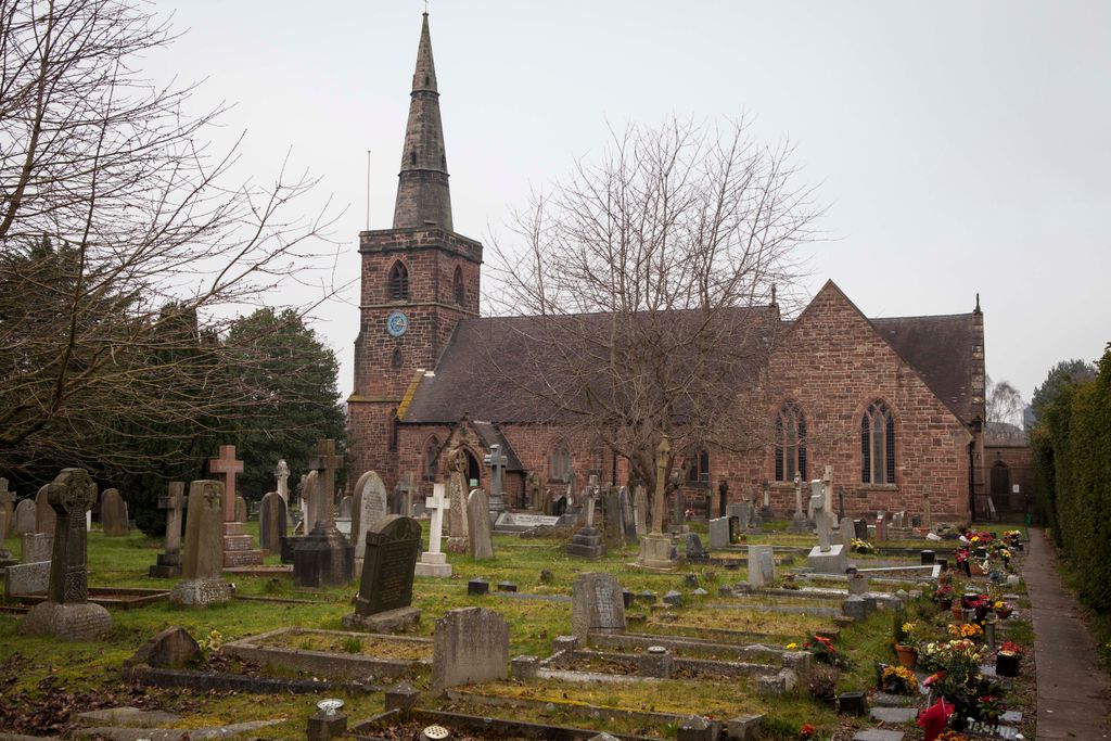
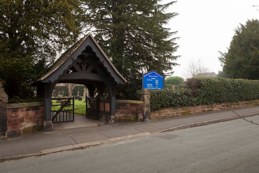
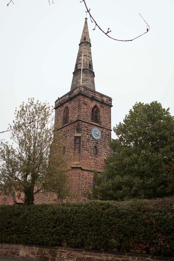
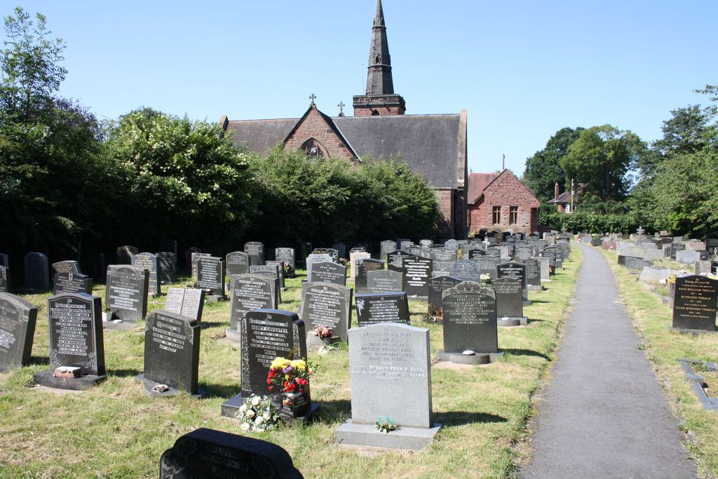
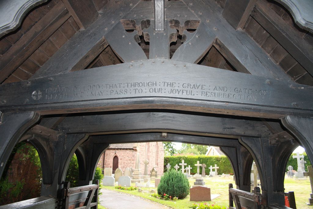
| Description | : | The Church of 'The Holy Ascension was built in 1884 The Churchyard is entered through the Lych Gate over which is carved a short prayer: ‘Grant, O Lord that through the grave and the gate of death we may pass to our joyful resurrection' The gate was a gift of the Potts family who lived at ‘The Oaks', (now the golf clubhouse). From the Lych Gate the path leads to the church with its 93ft spire. Entering the Church through the porch with its side seating there is a plaque recording the grant of £100 towards the building fund from the... Read More |
frequently asked questions (FAQ):
-
Where is Holy Ascension Churchyard?
Holy Ascension Churchyard is located at Church Lane Upton-by-Chester, Cheshire West and Chester Unitary Authority ,Cheshire , CH2 1DJEngland.
-
Holy Ascension Churchyard cemetery's updated grave count on graveviews.com?
0 memorials
-
Where are the coordinates of the Holy Ascension Churchyard?
Latitude: 53.2157300
Longitude: -2.8878700
Nearby Cemetories:
1. Chester Crematorium
Chester, Cheshire West and Chester Unitary Authority, England
Coordinate: 53.2050100, -2.9065700
2. Blacon Cemetery
Chester, Cheshire West and Chester Unitary Authority, England
Coordinate: 53.2053200, -2.9106300
3. Catholic Apostolic Church
Chester, Cheshire West and Chester Unitary Authority, England
Coordinate: 53.1950660, -2.8949290
4. Chester Cathedral
Chester, Cheshire West and Chester Unitary Authority, England
Coordinate: 53.1918900, -2.8904600
5. Chester City Gaol Cemetery
Chester, Cheshire West and Chester Unitary Authority, England
Coordinate: 53.1916040, -2.8962990
6. St Oswalds Churchyard
Backford, Cheshire West and Chester Unitary Authority, England
Coordinate: 53.2387200, -2.9034100
7. St Peter's Church
Chester, Cheshire West and Chester Unitary Authority, England
Coordinate: 53.1903000, -2.8917200
8. Wesleyan Chapel
Chester, Cheshire West and Chester Unitary Authority, England
Coordinate: 53.1898540, -2.8883230
9. Saint John the Baptist Churchyard
Chester, Cheshire West and Chester Unitary Authority, England
Coordinate: 53.1888299, -2.8855186
10. St Bridget Churchyard
Chester, Cheshire West and Chester Unitary Authority, England
Coordinate: 53.1871000, -2.8931900
11. St. Mary's Centre
Chester, Cheshire West and Chester Unitary Authority, England
Coordinate: 53.1868400, -2.8917900
12. Chester Castle Cemetery
Chester, Cheshire West and Chester Unitary Authority, England
Coordinate: 53.1853170, -2.8927920
13. St. Mary Without-The-Walls Churchyard
Chester, Cheshire West and Chester Unitary Authority, England
Coordinate: 53.1828358, -2.8888967
14. Mickle Trafford Methodist Church Cemetery
Chester, Cheshire West and Chester Unitary Authority, England
Coordinate: 53.2210040, -2.8327861
15. Overleigh Old Cemetery
Chester, Cheshire West and Chester Unitary Authority, England
Coordinate: 53.1808930, -2.8936610
16. Overleigh New Cemetery
Chester, Cheshire West and Chester Unitary Authority, England
Coordinate: 53.1801900, -2.8941500
17. St. John the Baptist Churchyard
Guilden Sutton, Cheshire West and Chester Unitary Authority, England
Coordinate: 53.2077400, -2.8263600
18. St. Lawrence Churchyard
Stoak, Cheshire West and Chester Unitary Authority, England
Coordinate: 53.2533600, -2.8655200
19. All Saints Churchyard
Saughall, Cheshire West and Chester Unitary Authority, England
Coordinate: 53.2271271, -2.9550779
20. Ebenezer Primitive Methodist Churchyard
Saughall, Cheshire West and Chester Unitary Authority, England
Coordinate: 53.2232500, -2.9574500
21. St James Churchyard
Christleton, Cheshire West and Chester Unitary Authority, England
Coordinate: 53.1854400, -2.8382800
22. Saughall Churches of Christ Grove Chapel
Saughall, Cheshire West and Chester Unitary Authority, England
Coordinate: 53.2218900, -2.9583300
23. St. Peter's Churchyard
Plemstall, Cheshire West and Chester Unitary Authority, England
Coordinate: 53.2249000, -2.8144700
24. St Peter's Parish Church Plemstall
Mickle Trafford, Cheshire West and Chester Unitary Authority, England
Coordinate: 53.2249565, -2.8143278

