
| Memorials | : | 1 |
| Location | : | Bridport, West Dorset District, England |
| Coordinate | : | 50.7305630, -2.7580380 |
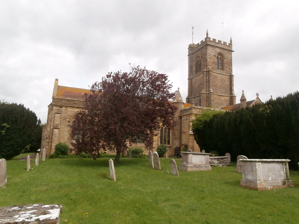
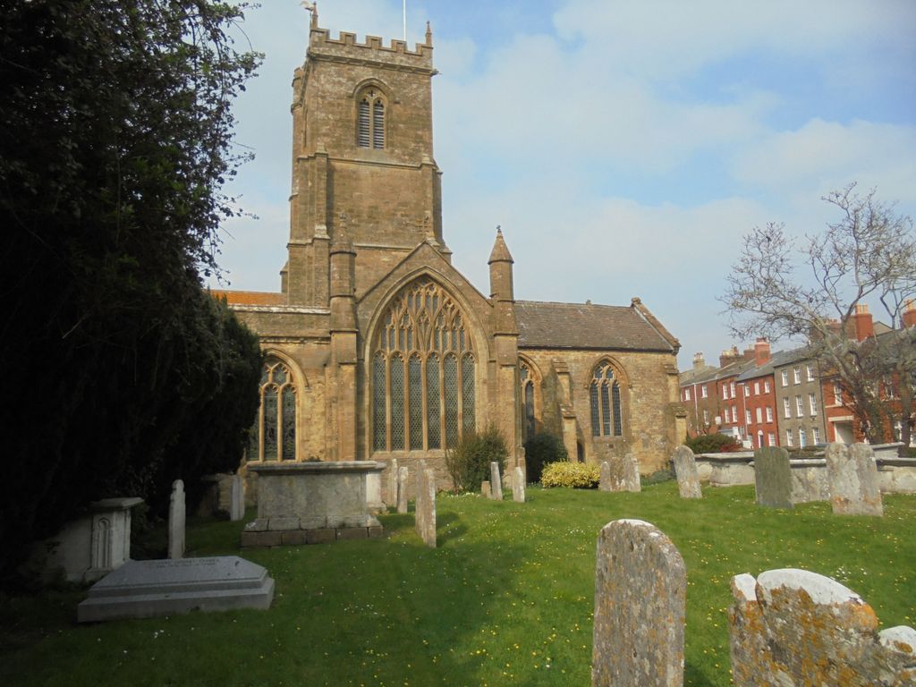
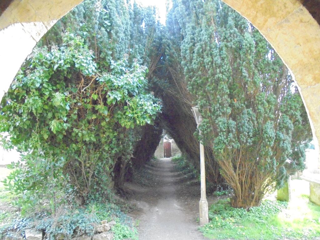
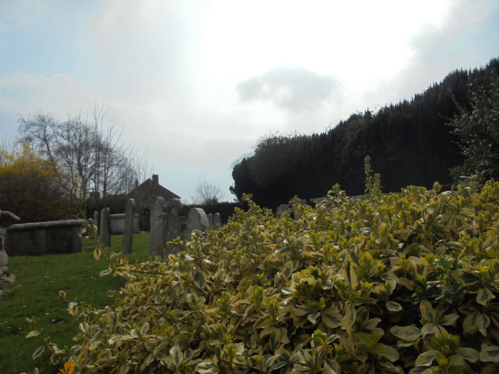
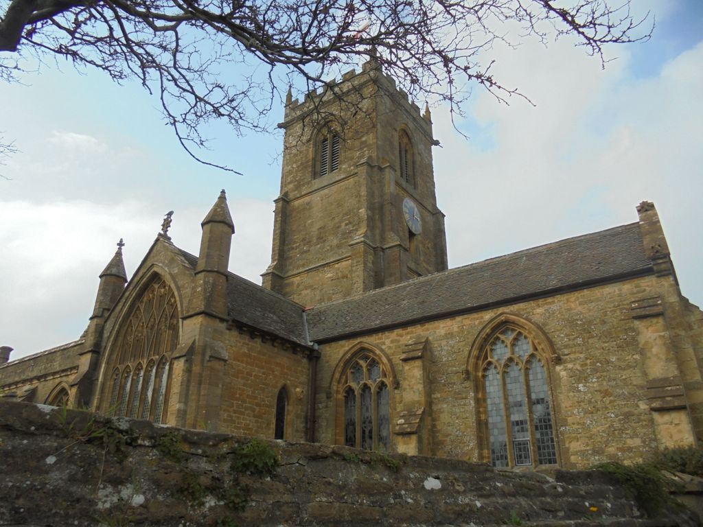
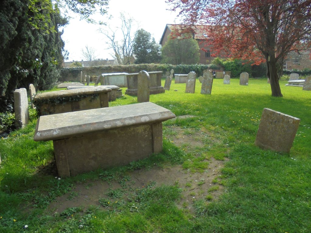
| Description | : | The Parish Church of Bridport was founded in the 13th century. The graveyard was closed on 31 March 1856. The Burial Register records that "The Interments after this date are made in the New Cemetery except in existing Brick graves and Vaults in the Churchyard." |
frequently asked questions (FAQ):
-
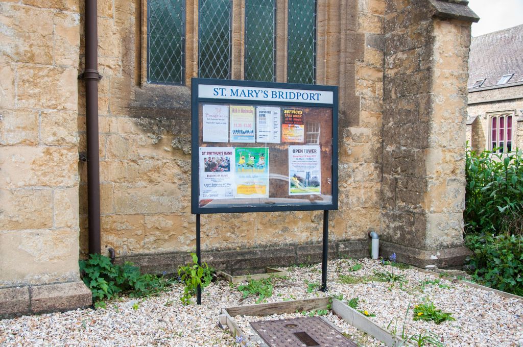
Where is St. Mary's Churchyard?
St. Mary's Churchyard is located at South Street Bridport, West Dorset District ,Dorset , DT6 3NWEngland.
-
St. Mary's Churchyard cemetery's updated grave count on graveviews.com?
0 memorials
-
Where are the coordinates of the St. Mary's Churchyard?
Latitude: 50.7305630
Longitude: -2.7580380
Nearby Cemetories:
1. Quaker Burial Ground
Bridport, West Dorset District, England
Coordinate: 50.7285000, -2.7577000
2. St Swithun Churchyard
Allington, West Dorset District, England
Coordinate: 50.7349230, -2.7642530
3. Bridport Cemetery
Bridport, West Dorset District, England
Coordinate: 50.7335280, -2.7423070
4. Old Church Cemetery
Bothenhampton, West Dorset District, England
Coordinate: 50.7230130, -2.7449430
5. St Peter Churchyard
Eype, West Dorset District, England
Coordinate: 50.7233600, -2.7794800
6. Holy Trinity Churchyard
Bradpole, West Dorset District, England
Coordinate: 50.7458520, -2.7378410
7. St Saviour's Churchyard
Dottery, West Dorset District, England
Coordinate: 50.7536000, -2.7694000
8. St Mary Magdalene Churchyard
Loders, West Dorset District, England
Coordinate: 50.7458420, -2.7226110
9. St Mary Churchyard
Burton Bradstock, West Dorset District, England
Coordinate: 50.7028730, -2.7254190
10. St. Giles Churchyard
Chideock, West Dorset District, England
Coordinate: 50.7325000, -2.8211000
11. Chideock Manor
Chideock, West Dorset District, England
Coordinate: 50.7377620, -2.8229350
12. Christ's Churchyard
Melplash, West Dorset District, England
Coordinate: 50.7751300, -2.7324000
13. St Michaels Cemetery
Melplash, West Dorset District, England
Coordinate: 50.7832180, -2.7306110
14. Stanton St. Gabriel Churchyard
Morcombelake, West Dorset District, England
Coordinate: 50.7407480, -2.8443460
15. St. Mary the Virgin Churchyard
Powerstock, West Dorset District, England
Coordinate: 50.7632920, -2.6863210
16. St. Michael and All Angels Churchyard
Askerswell, West Dorset District, England
Coordinate: 50.7309450, -2.6675050
17. St Mary Churchyard
Netherbury, West Dorset District, England
Coordinate: 50.7922890, -2.7529110
18. Parnham House
Beaminster, West Dorset District, England
Coordinate: 50.7995080, -2.7418580
19. St Mary the Blessed Virgin Churchyard
Pucknowle, West Dorset District, England
Coordinate: 50.6956030, -2.6597330
20. All Saints Churchyard
Mapperton, West Dorset District, England
Coordinate: 50.7943046, -2.7060315
21. St Mary Churchyard
Pilsdon, West Dorset District, England
Coordinate: 50.7925420, -2.8317720
22. St. Mary's Churchyard
Litton Cheney, West Dorset District, England
Coordinate: 50.7144060, -2.6364450
23. St Mary of the Annunciation Churchyard
Beaminster, West Dorset District, England
Coordinate: 50.8085130, -2.7409170
24. Holy Trinity Churchyard
Beaminster, West Dorset District, England
Coordinate: 50.8125230, -2.7376500