
| Memorials | : | 1 |
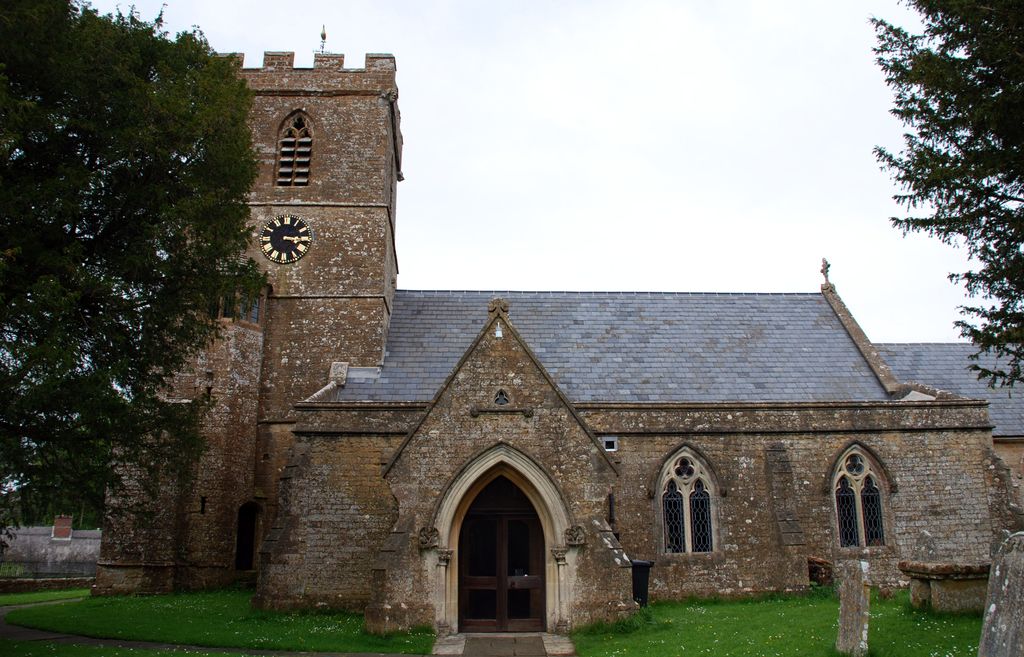
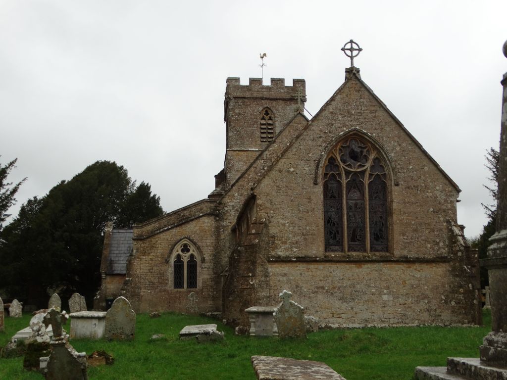
| Location | : | Powerstock, West Dorset District, England |
| Coordinate | : | 50.7632920, -2.6863210 |
frequently asked questions (FAQ):
-
Where is St. Mary the Virgin Churchyard?
St. Mary the Virgin Churchyard is located at Powerstock, West Dorset District ,Dorset ,England.
-
St. Mary the Virgin Churchyard cemetery's updated grave count on graveviews.com?
1 memorials
-
Where are the coordinates of the St. Mary the Virgin Churchyard?
Latitude: 50.7632920
Longitude: -2.6863210

Nearby Cemetories:
1. St Mary Magdalene Churchyard
Loders, West Dorset District, England
Coordinate: 50.7458420, -2.7226110
2. Christ's Churchyard
Melplash, West Dorset District, England
Coordinate: 50.7751300, -2.7324000
3. All Saints Churchyard
Mapperton, West Dorset District, England
Coordinate: 50.7943046, -2.7060315
4. St Michaels Cemetery
Melplash, West Dorset District, England
Coordinate: 50.7832180, -2.7306110
5. St. Michael and All Angels Churchyard
Askerswell, West Dorset District, England
Coordinate: 50.7309450, -2.6675050
6. Holy Trinity Churchyard
Bradpole, West Dorset District, England
Coordinate: 50.7458520, -2.7378410
7. St. Giles' Churchyard
Hooke, West Dorset District, England
Coordinate: 50.7991490, -2.6606080
8. Bridport Cemetery
Bridport, West Dorset District, England
Coordinate: 50.7335280, -2.7423070
9. Parnham House
Beaminster, West Dorset District, England
Coordinate: 50.7995080, -2.7418580
10. St Mary Churchyard
Netherbury, West Dorset District, England
Coordinate: 50.7922890, -2.7529110
11. St Saviour's Churchyard
Dottery, West Dorset District, England
Coordinate: 50.7536000, -2.7694000
12. Old Church Cemetery
Bothenhampton, West Dorset District, England
Coordinate: 50.7230130, -2.7449430
13. St. Mary's Churchyard
Bridport, West Dorset District, England
Coordinate: 50.7305630, -2.7580380
14. St Swithun Churchyard
Allington, West Dorset District, England
Coordinate: 50.7349230, -2.7642530
15. St Mary of the Annunciation Churchyard
Beaminster, West Dorset District, England
Coordinate: 50.8085130, -2.7409170
16. Quaker Burial Ground
Bridport, West Dorset District, England
Coordinate: 50.7285000, -2.7577000
17. St. Mary's Churchyard
Litton Cheney, West Dorset District, England
Coordinate: 50.7144060, -2.6364450
18. Holy Trinity Churchyard
Beaminster, West Dorset District, England
Coordinate: 50.8125230, -2.7376500
19. St Mary Churchyard
Burton Bradstock, West Dorset District, England
Coordinate: 50.7028730, -2.7254190
20. St Michael and All Angels Churchyard
Rampisham, West Dorset District, England
Coordinate: 50.8177970, -2.6236380
21. St Mary the Blessed Virgin Churchyard
Pucknowle, West Dorset District, England
Coordinate: 50.6956030, -2.6597330
22. St. Peter’s Churchyard
Long Bredy, West Dorset District, England
Coordinate: 50.7133240, -2.6093550
23. Holy Trinity Churchyard
Chilfrome, West Dorset District, England
Coordinate: 50.7874620, -2.5823870
24. St Peter Churchyard
Eype, West Dorset District, England
Coordinate: 50.7233600, -2.7794800