
| Memorials | : | 34 |
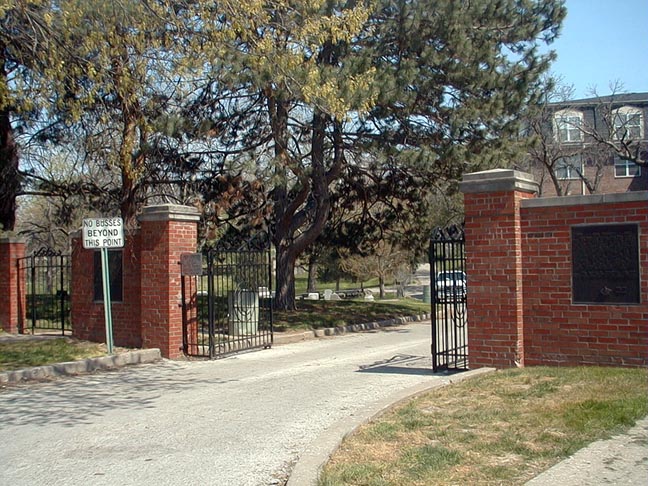
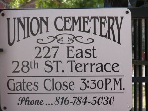
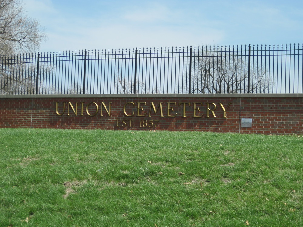
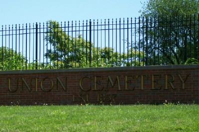
| Location | : | Kansas City, Jackson County, USA |
| Phone | : | 816-221-4373 |
| Coordinate | : | 39.0752983, -94.5811005 |
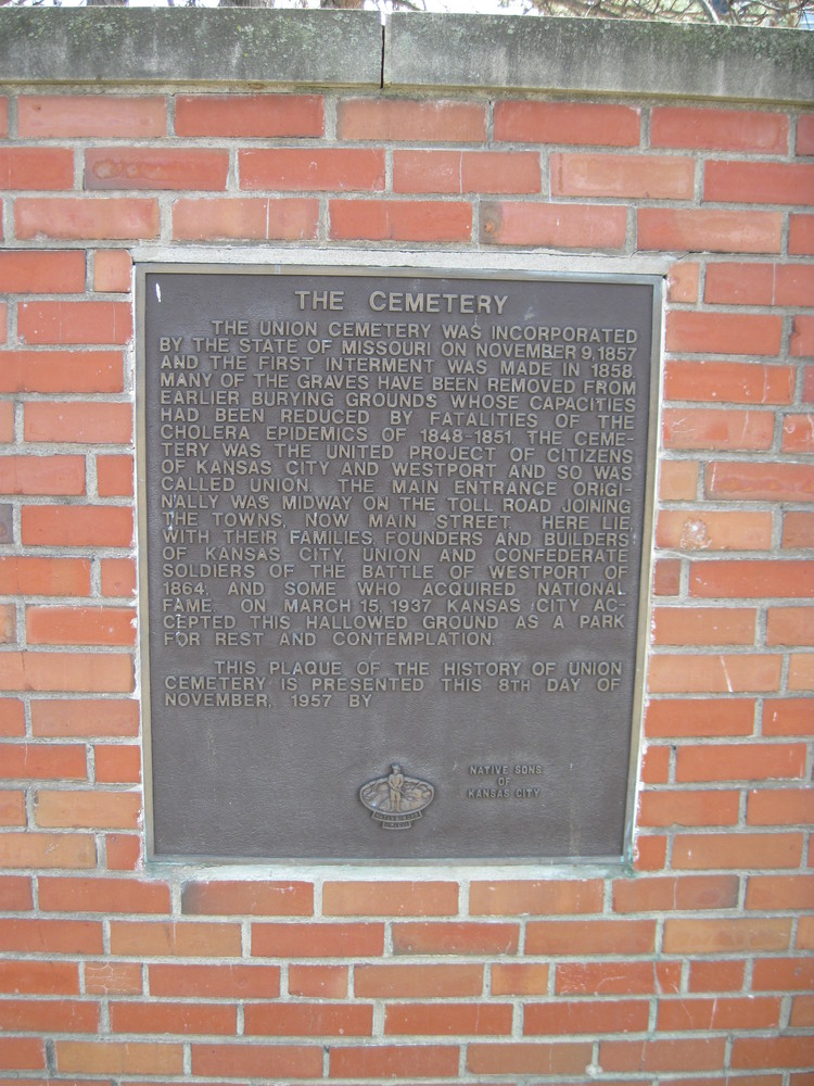
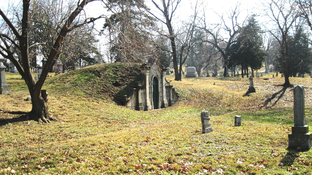
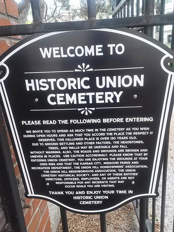
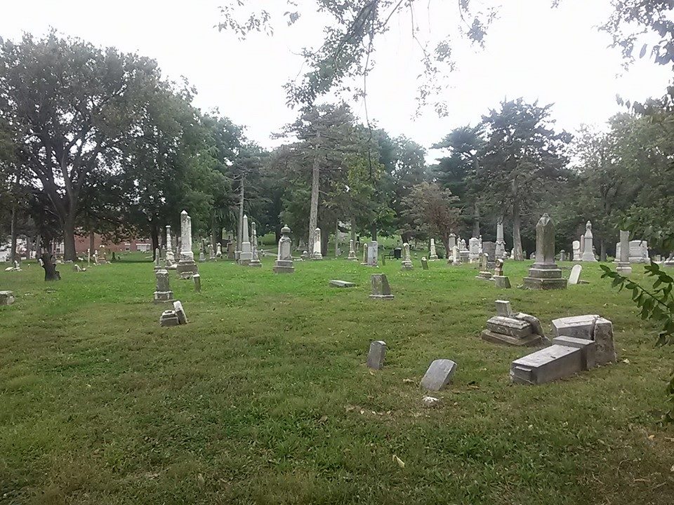
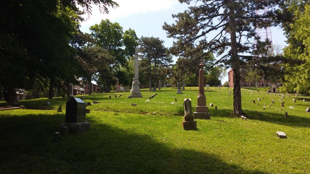
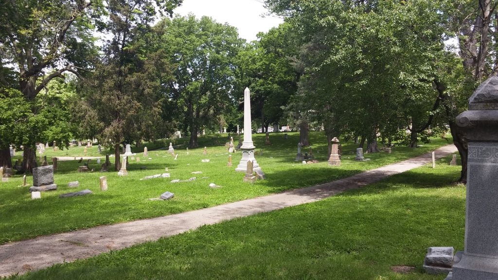
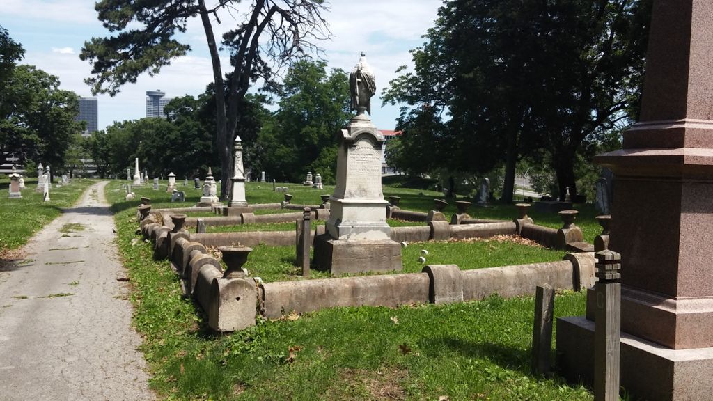
| Description | : | Only 8 percent of the graves at Union Cemetery are marked per the Union Cemetery Historical Society - August 2014. |
frequently asked questions (FAQ):
-
Where is Union Cemetery?
Union Cemetery is located at 227 East 28th Terrace Kansas City, Jackson County ,Missouri , 64108USA.
-
Union Cemetery cemetery's updated grave count on graveviews.com?
30 memorials
-
Where are the coordinates of the Union Cemetery?
Latitude: 39.0752983
Longitude: -94.5811005
Nearby Cemetories:
1. Saint Paul's Episcopal Church Cemetery
Kansas City, Jackson County, USA
Coordinate: 39.0540700, -94.5856600
2. Saint Mary's Episcopal Church Columbarium
Kansas City, Jackson County, USA
Coordinate: 39.0982600, -94.5750300
3. Grace and Holy Trinity Cathedral Memorial Garden
Kansas City, Jackson County, USA
Coordinate: 39.0982600, -94.5894100
4. Westport Cemetery
Kansas City, Jackson County, USA
Coordinate: 39.0508200, -94.5932400
5. All Souls Unitarian Universalist Church Gardens
Kansas City, Jackson County, USA
Coordinate: 39.0452060, -94.5847200
6. Nelson-Atkins Museum of Art
Kansas City, Jackson County, USA
Coordinate: 39.0449890, -94.5809780
7. Kauffman Memorial Garden
Kansas City, Jackson County, USA
Coordinate: 39.0398100, -94.5789700
8. Mount Saint Mary Catholic Cemetery
Kansas City, Jackson County, USA
Coordinate: 39.0856018, -94.5357971
9. Elmwood Cemetery
Kansas City, Jackson County, USA
Coordinate: 39.0960999, -94.5255966
10. Country Club United Methodist Church Memor
Kansas City, Jackson County, USA
Coordinate: 39.0247260, -94.5933250
11. Shawnee Methodist Mission Cemetery
Fairway, Johnson County, USA
Coordinate: 39.0307846, -94.6217880
12. Old Mission United Methodist Church Columbarium
Fairway, Johnson County, USA
Coordinate: 39.0293200, -94.6246500
13. George Hamilton Combs Chapel Columbarium & Garden
Kansas City, Jackson County, USA
Coordinate: 39.0176000, -94.6013500
14. Boone-Hays Cemetery
Kansas City, Jackson County, USA
Coordinate: 39.0129395, -94.5630493
15. Saint Andrews Episcopal Church Columbarium
Kansas City, Jackson County, USA
Coordinate: 39.0115600, -94.5938100
16. Sheffield Cemetery
Kansas City, Jackson County, USA
Coordinate: 39.1082993, -94.5083008
17. Calvary Cemetery
Kansas City, Jackson County, USA
Coordinate: 39.0050964, -94.5748215
18. Leeds Cemetery
Kansas City, Jackson County, USA
Coordinate: 39.0433100, -94.4957500
19. Rose Hill Cemetery
Kansas City, Jackson County, USA
Coordinate: 39.0017014, -94.5757980
20. Forest Hill Cemetery
Kansas City, Jackson County, USA
Coordinate: 39.0018997, -94.5699997
21. Cole Cemetery
Kansas City, Jackson County, USA
Coordinate: 39.0331000, -94.4992400
22. Southminster Presbyterian Church Columbarium
Prairie Village, Johnson County, USA
Coordinate: 39.0145600, -94.6407400
23. Village Presbyterian Church Columbarium
Prairie Village, Johnson County, USA
Coordinate: 39.0083300, -94.6299900
24. Cross Cemetery (Defunct)
Mission, Johnson County, USA
Coordinate: 39.0223083, -94.6582565