
| Memorials | : | 0 |
| Location | : | Voorthuizen, Barneveld Municipality, Netherlands |
| Coordinate | : | 52.1939400, 5.6077300 |
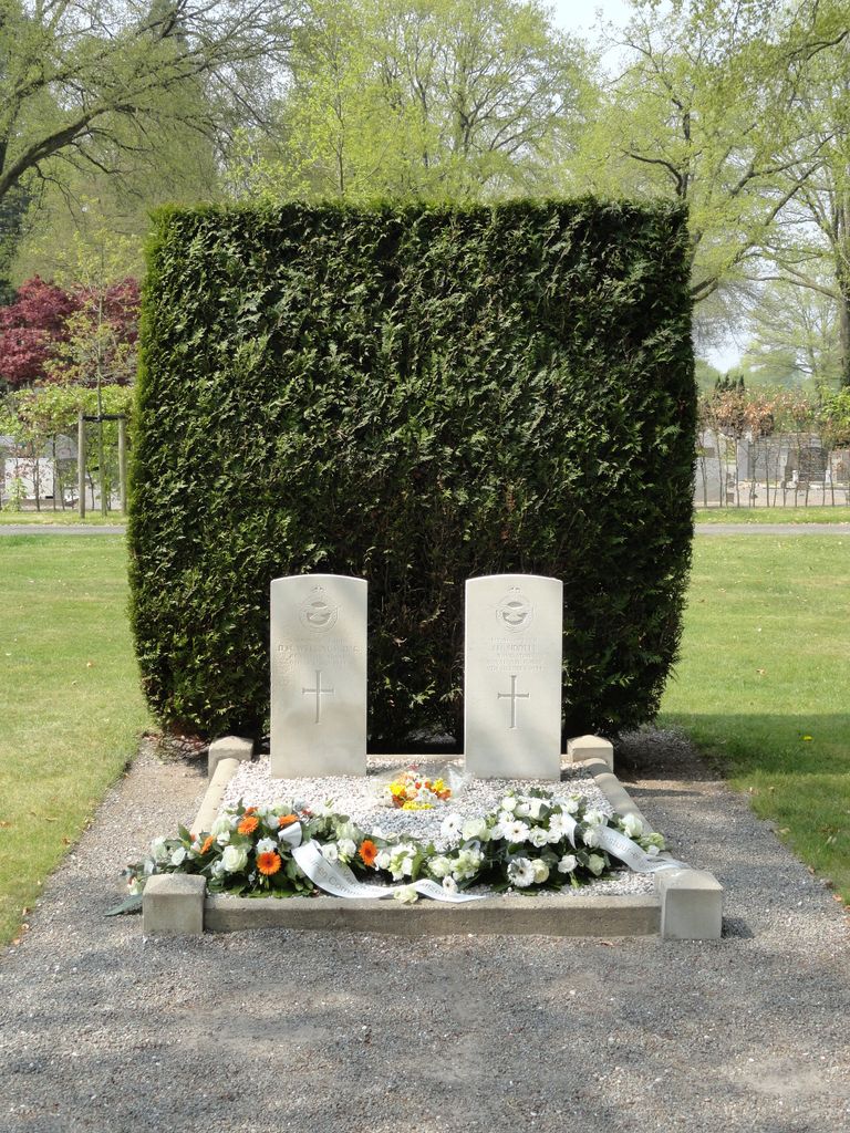
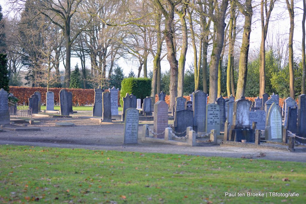
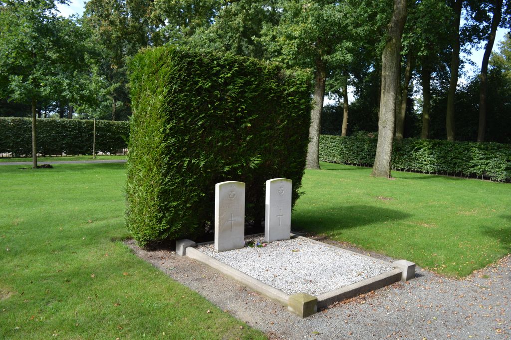
| Description | : | Barneveld is 32 kilometres north-west of Arnhem and 16 kilometres due east of Amersfoort. Voorthuizen is a village administered by, and 7 kilometres north of, Barneveld on the Amersfoort-Apeldoorn road. The cemetery is 455 metres north of the village, on the western side of the road to Pulten. |
frequently asked questions (FAQ):
-
Where is Voorthuizen General Cemetery?
Voorthuizen General Cemetery is located at Voorthuizen, Barneveld Municipality ,Gelderland ,Netherlands.
-
Voorthuizen General Cemetery cemetery's updated grave count on graveviews.com?
0 memorials
-
Where are the coordinates of the Voorthuizen General Cemetery?
Latitude: 52.1939400
Longitude: 5.6077300
Nearby Cemetories:
1. Barneveld Concentration Camp
Barneveld, Barneveld Municipality, Netherlands
Coordinate: 52.1427050, 5.5912750
2. Joodse Begraafplaats
Barneveld Municipality, Netherlands
Coordinate: 52.1409500, 5.5780800
3. Barneveld Begraafplaats De Plantage
Barneveld, Barneveld Municipality, Netherlands
Coordinate: 52.1353200, 5.5718900
4. Putten General Cemetery
Putten, Putten Municipality, Netherlands
Coordinate: 52.2576500, 5.6038900
5. Grote Kerk
Nijkerk, Nijkerk Municipality, Netherlands
Coordinate: 52.2228390, 5.4830470
6. Nijkerk Begraafplaats
Nijkerk, Nijkerk Municipality, Netherlands
Coordinate: 52.2188900, 5.4803400
7. Joodse Begraafplaats Nijkerkerveen
Nijkerkerveen, Nijkerk Municipality, Netherlands
Coordinate: 52.2064170, 5.4693330
8. Hoevelaken Begraafplaats
Hoevelaken, Nijkerk Municipality, Netherlands
Coordinate: 52.1785700, 5.4530100
9. Begraafplaats Uddel
Uddel, Apeldoorn Municipality, Netherlands
Coordinate: 52.2614100, 5.7895700
10. Algemene begraafplaats
Zeewolde Municipality, Netherlands
Coordinate: 52.3192420, 5.5321530
11. Otterlo General Cemetery
Otterlo, Ede Municipality, Netherlands
Coordinate: 52.1033100, 5.7767900
12. Oode Joodse begraafplaats Bloemendalsestraat
Amersfoort Municipality, Netherlands
Coordinate: 52.1601500, 5.3896600
13. Joodse Begraafplaats Beth Chaim
Harderwijk Municipality, Netherlands
Coordinate: 52.3330300, 5.6279200
14. Begraafplaats Elspeet
Elspeet, Nunspeet Municipality, Netherlands
Coordinate: 52.2844300, 5.7867800
15. Natuurbegraafplaats Westerwolde
Assel, Apeldoorn Municipality, Netherlands
Coordinate: 52.1949200, 5.8427200
16. Amersfoort Roman Catholic Cemetery
Amersfoort, Amersfoort Municipality, Netherlands
Coordinate: 52.1509300, 5.3818700
17. Joodse Begraafplaats Soesterweg
Amersfoort, Amersfoort Municipality, Netherlands
Coordinate: 52.1570050, 5.3699520
18. Amersfoort Soesterkwartier Cemetery
Amersfoort, Amersfoort Municipality, Netherlands
Coordinate: 52.1575100, 5.3689900
19. Paasberg Mausoleum
Ede, Ede Municipality, Netherlands
Coordinate: 52.0437800, 5.6786500
20. Rusthof Cemetery
Oud-Leusden, Leusden Municipality, Netherlands
Coordinate: 52.1288100, 5.3758500
21. Harderwijk General Cemetery
Harderwijk, Harderwijk Municipality, Netherlands
Coordinate: 52.3499300, 5.6374200
22. Algemene Begraafplaats Oud Leusden
Oud-Leusden, Leusden Municipality, Netherlands
Coordinate: 52.1310600, 5.3721800
23. Amersfoort Concentration Camp
Leusden Municipality, Netherlands
Coordinate: 52.1322500, 5.3652800
24. De Munnikenhof Begraafplaats
Veenendaal, Veenendaal Municipality, Netherlands
Coordinate: 52.0339200, 5.5475300