
| Memorials | : | 0 |
| Location | : | Otterlo, Ede Municipality, Netherlands |
| Coordinate | : | 52.1033100, 5.7767900 |
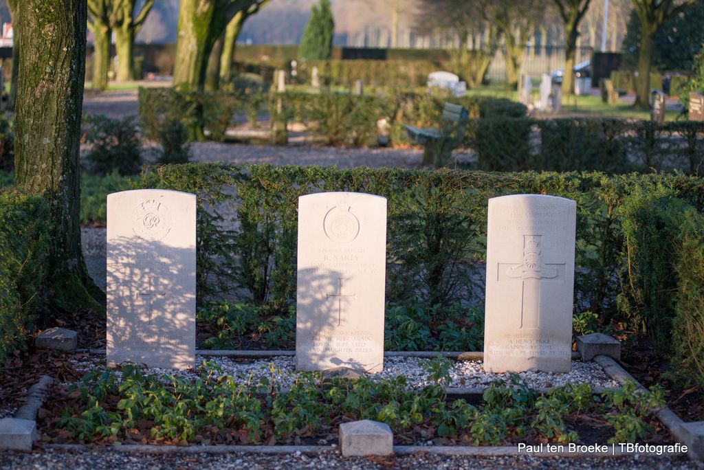
| Description | : | Otterlo is a small village administered by the town of Ede. It lies 10 kilometres north-east of Ede, and is in the heart of the great Dutch National Park, "Hooge Veluwe". The cemetery is about 273 metres north-east of the village centre, near the road to Apeldoorn. |
frequently asked questions (FAQ):
-
Where is Otterlo General Cemetery?
Otterlo General Cemetery is located at Otterlo, Ede Municipality ,Gelderland ,Netherlands.
-
Otterlo General Cemetery cemetery's updated grave count on graveviews.com?
0 memorials
-
Where are the coordinates of the Otterlo General Cemetery?
Latitude: 52.1033100
Longitude: 5.7767900
Nearby Cemetories:
1. Hoenderloo Nederlands Hervormde Begraafplaats
Hoenderloo, Apeldoorn Municipality, Netherlands
Coordinate: 52.1200700, 5.8805700
2. Natuurbegraafplaats Heidepol
Arnhem, Arnhem Municipality, Netherlands
Coordinate: 52.0333784, 5.8232974
3. Paasberg Mausoleum
Ede, Ede Municipality, Netherlands
Coordinate: 52.0437800, 5.6786500
4. Schaarsbergen Vredenoord Cemetery
Schaarsbergen, Arnhem Municipality, Netherlands
Coordinate: 52.0290600, 5.8745300
5. Natuurbegraafplaats Westerwolde
Assel, Apeldoorn Municipality, Netherlands
Coordinate: 52.1949200, 5.8427200
6. Arnhem War Cemetery
Oosterbeek, Renkum Municipality, Netherlands
Coordinate: 51.9931800, 5.8481900
7. Oosterbeek General Cemetery
Oosterbeek, Renkum Municipality, Netherlands
Coordinate: 51.9920100, 5.8490100
8. Barneveld Concentration Camp
Barneveld, Barneveld Municipality, Netherlands
Coordinate: 52.1427050, 5.5912750
9. Begraafplaats Heidehof
Ugchelen, Apeldoorn Municipality, Netherlands
Coordinate: 52.1777800, 5.9326800
10. Bennekom Algemene Begraafplaats
Bennekom, Ede Municipality, Netherlands
Coordinate: 51.9983500, 5.6775500
11. Begraafplaats Beekbergen
Beekbergen, Apeldoorn Municipality, Netherlands
Coordinate: 52.1531400, 5.9644400
12. Doorwerth Roman Catholic Cemetery
Doorwerth, Renkum Municipality, Netherlands
Coordinate: 51.9783200, 5.8058900
13. Oude Algemene Begraafplaats
Oosterbeek, Renkum Municipality, Netherlands
Coordinate: 51.9832100, 5.8434700
14. Joodse Begraafplaats
Barneveld Municipality, Netherlands
Coordinate: 52.1409500, 5.5780800
15. Barneveld Begraafplaats De Plantage
Barneveld, Barneveld Municipality, Netherlands
Coordinate: 52.1353200, 5.5718900
16. Arnhem Moscowa General Cemetery
Arnhem, Arnhem Municipality, Netherlands
Coordinate: 52.0050800, 5.9152800
17. Renkum Roman Catholic Cemetery
Renkum, Renkum Municipality, Netherlands
Coordinate: 51.9752800, 5.7375200
18. Begraafplaats de Leeuwerenk
Wageningen, Wageningen Municipality, Netherlands
Coordinate: 51.9849600, 5.6806900
19. Nationale Veteranenbegraafplaats Loenen
Loenen, Apeldoorn Municipality, Netherlands
Coordinate: 52.1138024, 5.9935134
20. Joodse Begraafplaats Moscowa
Arnhem, Arnhem Municipality, Netherlands
Coordinate: 52.0022860, 5.9203300
21. Onder de Bomen Cemetery
Renkum, Renkum Municipality, Netherlands
Coordinate: 51.9714500, 5.7205500
22. Joodse Begraafplaats Utrechtseweg
Arnhem, Arnhem Municipality, Netherlands
Coordinate: 51.9853100, 5.8906500
23. Nationaal Ereveld Loenen
Loenen, Apeldoorn Municipality, Netherlands
Coordinate: 52.1147600, 6.0000200
24. Voorthuizen General Cemetery
Voorthuizen, Barneveld Municipality, Netherlands
Coordinate: 52.1939400, 5.6077300