| Memorials | : | 0 |
| Location | : | West-Terschelling, Terschelling Municipality, Netherlands |
| Coordinate | : | 53.3609500, 5.2146400 |
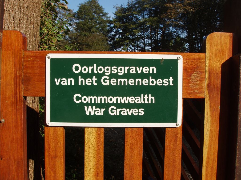
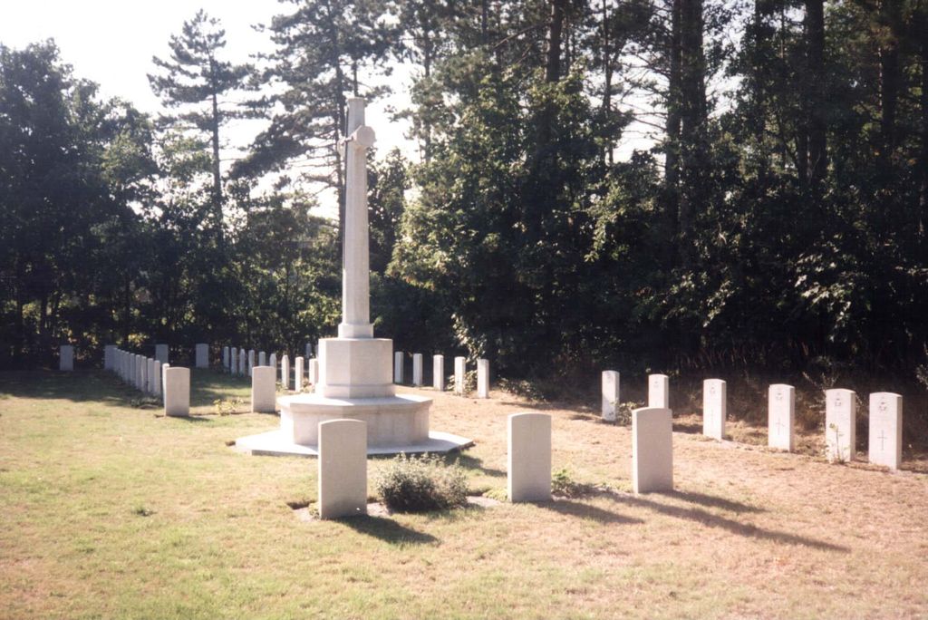
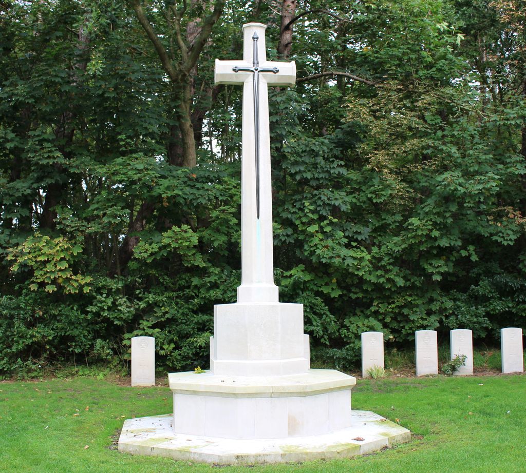
| Description | : | Terschelling is one of the Wadden Islands, which form an archipelago off the north coast of the Netherlands, it is some 11 kilometres from the mainland and is located in the municipality of Terschelling, which is in the province of Friesland. The island can be reached from Harlingen on the mainland by ferry. Harlingen is approx 12 kilometres south-west of Franeker and approx 30 kilometres west of Leeuwarden. An immaculately-maintained Commonwealth War Graves plot is located immediately inside the main entrance gate with 68 known dead. Visitors, please note that tourists are not permitted to bring their cars... Read More |
frequently asked questions (FAQ):
-
Where is West-Terschelling General Cemetery?
West-Terschelling General Cemetery is located at Longway 23-19 West-Terschelling, Terschelling Municipality ,Friesland ,Netherlands.
-
West-Terschelling General Cemetery cemetery's updated grave count on graveviews.com?
0 memorials
-
Where are the coordinates of the West-Terschelling General Cemetery?
Latitude: 53.3609500
Longitude: 5.2146400
Nearby Cemetories:
1. Stryper kerkhof
Midsland, Terschelling Municipality, Netherlands
Coordinate: 53.3794384, 5.2837765
2. Kerkhof Midsland
Midsland, Terschelling Municipality, Netherlands
Coordinate: 53.3829927, 5.2850016
3. Vlieland General Cemetery
Oost-Vlieland, Vlieland Municipality, Netherlands
Coordinate: 53.2960300, 5.0649200
4. Oosterbierum Kerkhof
Oosterbierum, Franekeradeel Municipality, Netherlands
Coordinate: 53.2340554, 5.5108091
5. Harlingen General Cemetery
Harlingen, Harlingen Municipality, Netherlands
Coordinate: 53.1780100, 5.4245900
6. Harlingen Roman Catholic cemetery
Harlingen, Harlingen Municipality, Netherlands
Coordinate: 53.1720500, 5.4299800
7. Kerkhof Sint Martinuskerk
Tzummarum, Franekeradeel Municipality, Netherlands
Coordinate: 53.2365670, 5.5436750
8. Tsjerkhôf Furdgum
Firdgum, Franekeradeel Municipality, Netherlands
Coordinate: 53.2484501, 5.5596364
9. Nederlands hervormde Kerk Herbaijum
Herbaijum, Franekeradeel Municipality, Netherlands
Coordinate: 53.1849700, 5.4952100
10. Sint Jacobiparochie General Cemetery
Sint Jacobiparochie, Het Bildt Municipality, Netherlands
Coordinate: 53.2684100, 5.6041100
11. Minnertsga Kerkhof
Minnertsga, Het Bildt Municipality, Netherlands
Coordinate: 53.2512016, 5.5942001
12. Kimswerd Protestant Churchyard
Kimswerd, Sudwest Fryslan Municipality, Netherlands
Coordinate: 53.1412800, 5.4385400
13. Franeker General Cemetery
Franeker, Franekeradeel Municipality, Netherlands
Coordinate: 53.1845100, 5.5330800
14. Walburgatsjerke
Ried, Franekeradeel Municipality, Netherlands
Coordinate: 53.2231866, 5.5900183
15. Sint Gertrudistsjerke
Peins, Franekeradeel Municipality, Netherlands
Coordinate: 53.2059212, 5.5950833
16. Dionysiustsjerke
Slappeterp, Menaldumadeel Municipality, Netherlands
Coordinate: 53.2136468, 5.6199275
17. Stevenskerk kerkhof
Skingen, Menaldumadeel Municipality, Netherlands
Coordinate: 53.2022626, 5.6179534
18. Johanneskerk - Protestantse Gemeente Tzum
Tzum, Franekeradeel Municipality, Netherlands
Coordinate: 53.1589801, 5.5629124
19. Algemene Begraafplaats
Vrouwenparochie, Het Bildt Municipality, Netherlands
Coordinate: 53.2849877, 5.6946783
20. Witmarsum Protestant Churchyard
Witmarsum, Sudwest Fryslan Municipality, Netherlands
Coordinate: 53.1021800, 5.4661900
21. Tsjerkhôf Menaam
Menaam, Menaldumadeel Municipality, Netherlands
Coordinate: 53.2161718, 5.6616600
22. Kerkhof Salviuskerk / 'd Alde Wite
Dronrijp, Menaldumadeel Municipality, Netherlands
Coordinate: 53.1967232, 5.6435867
23. Doniakerk Kerkhof
Makkum, Sudwest Fryslan Municipality, Netherlands
Coordinate: 53.0597550, 5.3992650
24. Makkum Protestant Churchyard
Makkum, Sudwest Fryslan Municipality, Netherlands
Coordinate: 53.0595500, 5.3997500


