
| Memorials | : | 0 |
| Location | : | Wyke, Metropolitan Borough of Bradford, England |
| Coordinate | : | 53.7355456, -1.7629691 |
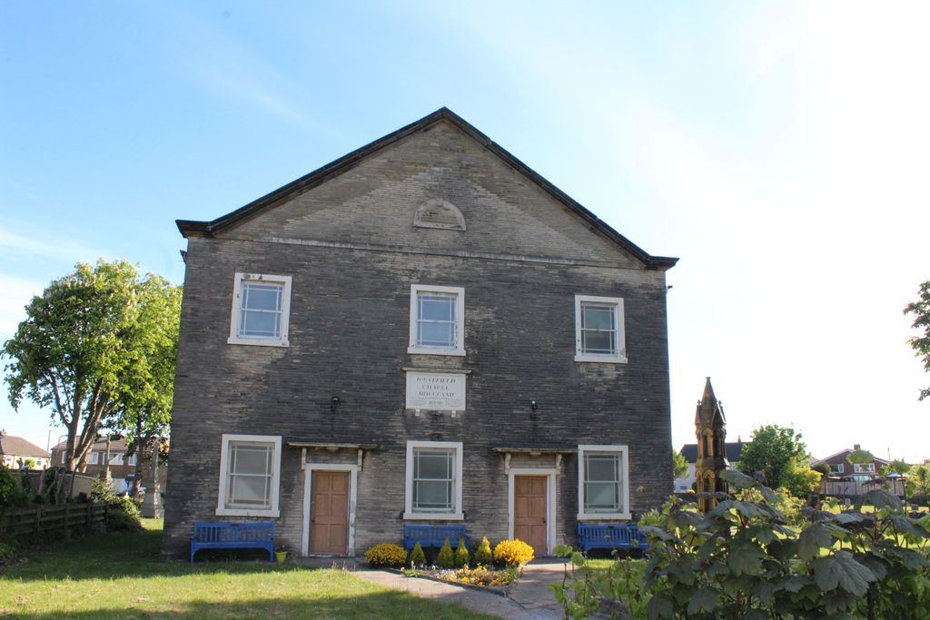
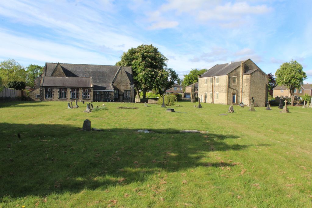
| Description | : | Opened in 1826 by Benjamin Firth as an independent chapel. It was structurally damaged in the 1916 Low Moor Explosion, and then again the following year in another munitions explosion. Most of the headstones have been cleared from the cemetery but all the remaining graves are photographed here. |
frequently asked questions (FAQ):
-
Where is Westfield United Reform Chapel?
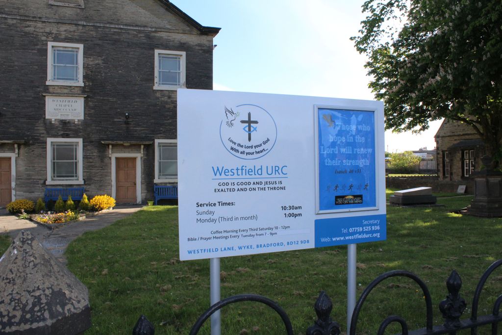
Westfield United Reform Chapel is located at Westfield Lane, Wyke, Bradford, West Yorkshire, England Wyke, Metropolitan Borough of Bradford ,West Yorkshire , BD12 9DBEngland.
-
Westfield United Reform Chapel cemetery's updated grave count on graveviews.com?
0 memorials
-
Where are the coordinates of the Westfield United Reform Chapel?
Latitude: 53.7355456
Longitude: -1.7629691
Nearby Cemetories:
1. St. Mary the Virgin Churchyard
Wyke, Metropolitan Borough of Bradford, England
Coordinate: 53.7363400, -1.7715600
2. Lower Wyke Moravian Churchyard
Wyke, Metropolitan Borough of Bradford, England
Coordinate: 53.7295640, -1.7735920
3. St Philip and St James Church Memorial Garden
Cleckheaton, Metropolitan Borough of Kirklees, England
Coordinate: 53.7291800, -1.7481500
4. Cleckheaton New Cemetery
Cleckheaton, Metropolitan Borough of Kirklees, England
Coordinate: 53.7298910, -1.7400120
5. St Mark Churchyard
Low Moor, Metropolitan Borough of Bradford, England
Coordinate: 53.7512500, -1.7696100
6. Wesley Place Methodist Chapelyard
Low Moor, Metropolitan Borough of Bradford, England
Coordinate: 53.7528600, -1.7573100
7. St. Matthew's Old Churchyard
Lightcliffe, Metropolitan Borough of Calderdale, England
Coordinate: 53.7245690, -1.7894920
8. Whitechapel Churchyard
Cleckheaton, Metropolitan Borough of Kirklees, England
Coordinate: 53.7285500, -1.7295800
9. Holy Trinity Churchyard
Low Moor, Metropolitan Borough of Bradford, England
Coordinate: 53.7564900, -1.7590000
10. North Bierley Municipal Cemetery
Bradford, Metropolitan Borough of Bradford, England
Coordinate: 53.7584470, -1.7781560
11. Cleckheaton Old Cemetery
Cleckheaton, Metropolitan Borough of Kirklees, England
Coordinate: 53.7261100, -1.7213000
12. Brighouse Cemetery
Brighouse, Metropolitan Borough of Calderdale, England
Coordinate: 53.7126470, -1.7869960
13. St John the Baptist Churchyard
Coley, Metropolitan Borough of Calderdale, England
Coordinate: 53.7385570, -1.8119940
14. St. Paul Churchyard
Wibsey, Metropolitan Borough of Bradford, England
Coordinate: 53.7636700, -1.7784700
15. Wibsey Salvation Army Memorial Garden
Wibsey, Metropolitan Borough of Bradford, England
Coordinate: 53.7664200, -1.7702900
16. St. Michael & All Angels Churchyard
Shelf, Metropolitan Borough of Calderdale, England
Coordinate: 53.7573400, -1.8030500
17. Zion Congregationalist Church Graveyard
Bradford, Metropolitan Borough of Bradford, England
Coordinate: 53.7681900, -1.7702550
18. St John the Evangelist Churchyard
Cleckheaton, Metropolitan Borough of Kirklees, England
Coordinate: 53.7244050, -1.7099190
19. Clifton Cemetery
Clifton, Metropolitan Borough of Calderdale, England
Coordinate: 53.7022640, -1.7583680
20. Quaker Meeting House
Liversedge, Metropolitan Borough of Kirklees, England
Coordinate: 53.7181500, -1.7147900
21. St. Matthew Churchyard
Bradford, Metropolitan Borough of Bradford, England
Coordinate: 53.7689950, -1.7638640
22. St. Martin’s Churchyard
Brighouse, Metropolitan Borough of Calderdale, England
Coordinate: 53.7041460, -1.7836290
23. Bethel Methodist Chapelyard
Shelf, Metropolitan Borough of Calderdale, England
Coordinate: 53.7563530, -1.8079900
24. St John Churchyard
Clifton, Metropolitan Borough of Calderdale, England
Coordinate: 53.7018610, -1.7572600