
| Memorials | : | 3 |
| Location | : | Clarita, Coal County, USA |
| Coordinate | : | 34.5196991, -96.4372025 |
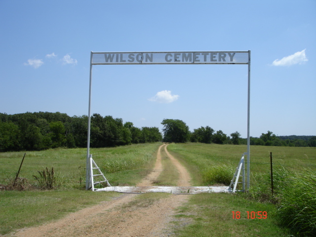
| Description | : | From the Clarita Post Office go west on O'Neal Street about 2 1/2 miles. The cemetery sign will be on the right. Turn right and follow the road to the cemetery. The cemetery started in the late 1800's when Dave Wilson donated a plot of land to have a place to bury a man who was working in the community that became sick and died. The people of the community named the cemetery after Mr. Wilson who was also buried there. When the cemetery was almost filled to capacity, Mr. Homer Parks donated more land. |
frequently asked questions (FAQ):
-
Where is Wilson Cemetery?
Wilson Cemetery is located at Clarita, Coal County ,Oklahoma ,USA.
-
Wilson Cemetery cemetery's updated grave count on graveviews.com?
3 memorials
-
Where are the coordinates of the Wilson Cemetery?
Latitude: 34.5196991
Longitude: -96.4372025
Nearby Cemetories:
1. Pleasant Hill Cemetery
Coal County, USA
Coordinate: 34.5475006, -96.4894028
2. Keel Family Cemetery
Coal County, USA
Coordinate: 34.5064011, -96.3703003
3. Moore Cemetery
Clarita, Coal County, USA
Coordinate: 34.4625015, -96.4261017
4. Byrds Prairie Cemetery
Tupelo, Coal County, USA
Coordinate: 34.5792007, -96.4122009
5. James Family Cemetery
Olney, Coal County, USA
Coordinate: 34.4617100, -96.3872100
6. Clarita Amish Cemetery
Coal County, USA
Coordinate: 34.4343416, -96.4394419
7. Davis Cemetery
Coal County, USA
Coordinate: 34.4860992, -96.3321991
8. Nixon Cemetery
Coalgate, Coal County, USA
Coordinate: 34.5345150, -96.3253070
9. Selcer Cemetery
Coal County, USA
Coordinate: 34.6112301, -96.4042418
10. Worcester Cemetery
Coal County, USA
Coordinate: 34.4221000, -96.4589590
11. Jesse Cemetery
Jesse, Pontotoc County, USA
Coordinate: 34.5847200, -96.5298700
12. Round Lake Cemetery
Centrahoma, Coal County, USA
Coordinate: 34.5778008, -96.3371964
13. Sealy Cemetery
Coal County, USA
Coordinate: 34.4775009, -96.3202972
14. Centrahoma Cemetery
Centrahoma, Coal County, USA
Coordinate: 34.6061707, -96.3365326
15. Rose Hill Cemetery
Wapanucka, Johnston County, USA
Coordinate: 34.3883018, -96.4244003
16. Highland Cemetery
Stonewall, Pontotoc County, USA
Coordinate: 34.6316986, -96.5286026
17. Whitehall Cemetery
Atoka County, USA
Coordinate: 34.4166985, -96.3230972
18. Wells Valley Cemetery
Bromide, Johnston County, USA
Coordinate: 34.3869019, -96.4891968
19. Pleasant Grove Cemetery
Tupelo, Coal County, USA
Coordinate: 34.6688995, -96.4582977
20. Pilgrim Cemetery
Johnston County, USA
Coordinate: 34.4268990, -96.5832977
21. Pontotoc Cemetery
Pontotoc, Johnston County, USA
Coordinate: 34.4892500, -96.6227500
22. Seeley Cemetery
Connerville, Johnston County, USA
Coordinate: 34.4556007, -96.6119003
23. Colley Cemetery
Pontotoc County, USA
Coordinate: 34.5133018, -96.6306000
24. Atkins Cemetery
Harden City, Pontotoc County, USA
Coordinate: 34.6100006, -96.5991974