
| Memorials | : | 2 |
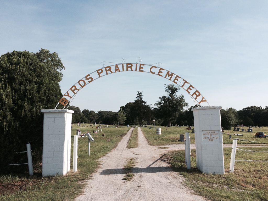
| Location | : | Tupelo, Coal County, USA |
| Coordinate | : | 34.5792007, -96.4122009 |
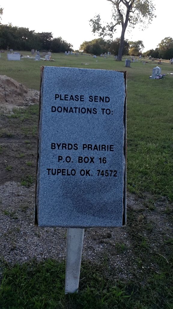
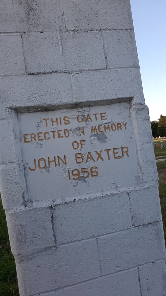
| Description | : | This is one of the more prominent cemeteries in Coal County. The northern part was the original cemetery and is the burial site for several Choctaw Native Americans who settled the area when they came to Oklahoma on the Trail of Tears. The tribe had poor housing that first year and many died. Many of the graves had sandstone markers which wore away and are no longer there. That part of the cemetery is mowed but no longer shows signs of Choctaw graves. The remainder of the cemetery is still in use and in excellent condition as of 2022. In... Read More |
frequently asked questions (FAQ):
-
Where is Byrds Prairie Cemetery?
Byrds Prairie Cemetery is located at Tupelo, Coal County ,Oklahoma ,USA.
-
Byrds Prairie Cemetery cemetery's updated grave count on graveviews.com?
2 memorials
-
Where are the coordinates of the Byrds Prairie Cemetery?
Latitude: 34.5792007
Longitude: -96.4122009
Nearby Cemetories:
1. Selcer Cemetery
Coal County, USA
Coordinate: 34.6112301, -96.4042418
2. Round Lake Cemetery
Centrahoma, Coal County, USA
Coordinate: 34.5778008, -96.3371964
3. Wilson Cemetery
Clarita, Coal County, USA
Coordinate: 34.5196991, -96.4372025
4. Centrahoma Cemetery
Centrahoma, Coal County, USA
Coordinate: 34.6061707, -96.3365326
5. Pleasant Hill Cemetery
Coal County, USA
Coordinate: 34.5475006, -96.4894028
6. Keel Family Cemetery
Coal County, USA
Coordinate: 34.5064011, -96.3703003
7. Nixon Cemetery
Coalgate, Coal County, USA
Coordinate: 34.5345150, -96.3253070
8. Jesse Cemetery
Jesse, Pontotoc County, USA
Coordinate: 34.5847200, -96.5298700
9. Pleasant Grove Cemetery
Tupelo, Coal County, USA
Coordinate: 34.6688995, -96.4582977
10. Lula Cemetery
Lula, Pontotoc County, USA
Coordinate: 34.6869011, -96.4113998
11. Highland Cemetery
Stonewall, Pontotoc County, USA
Coordinate: 34.6316986, -96.5286026
12. Davis Cemetery
Coal County, USA
Coordinate: 34.4860992, -96.3321991
13. Moore Cemetery
Clarita, Coal County, USA
Coordinate: 34.4625015, -96.4261017
14. James Family Cemetery
Olney, Coal County, USA
Coordinate: 34.4617100, -96.3872100
15. Sealy Cemetery
Coal County, USA
Coordinate: 34.4775009, -96.3202972
16. Globe Cemetery
Coal County, USA
Coordinate: 34.6921997, -96.3272018
17. Clarita Amish Cemetery
Coal County, USA
Coordinate: 34.4343416, -96.4394419
18. Frisco Cemetery
Frisco, Pontotoc County, USA
Coordinate: 34.6457400, -96.5727300
19. Boiling Springs Cemetery
Coal County, USA
Coordinate: 34.7225150, -96.3553670
20. Atkins Cemetery
Harden City, Pontotoc County, USA
Coordinate: 34.6100006, -96.5991974
21. Cockran Cemetery
Pontotoc County, USA
Coordinate: 34.6444016, -96.5899963
22. Worcester Cemetery
Coal County, USA
Coordinate: 34.4221000, -96.4589590
23. Coalgate Cemetery
Coalgate, Coal County, USA
Coordinate: 34.5628014, -96.2155991
24. Melville Cemetery
Pontotoc County, USA
Coordinate: 34.7075005, -96.5363998