| Memorials | : | 8 |
| Location | : | Centrahoma, Coal County, USA |
| Coordinate | : | 34.6061707, -96.3365326 |
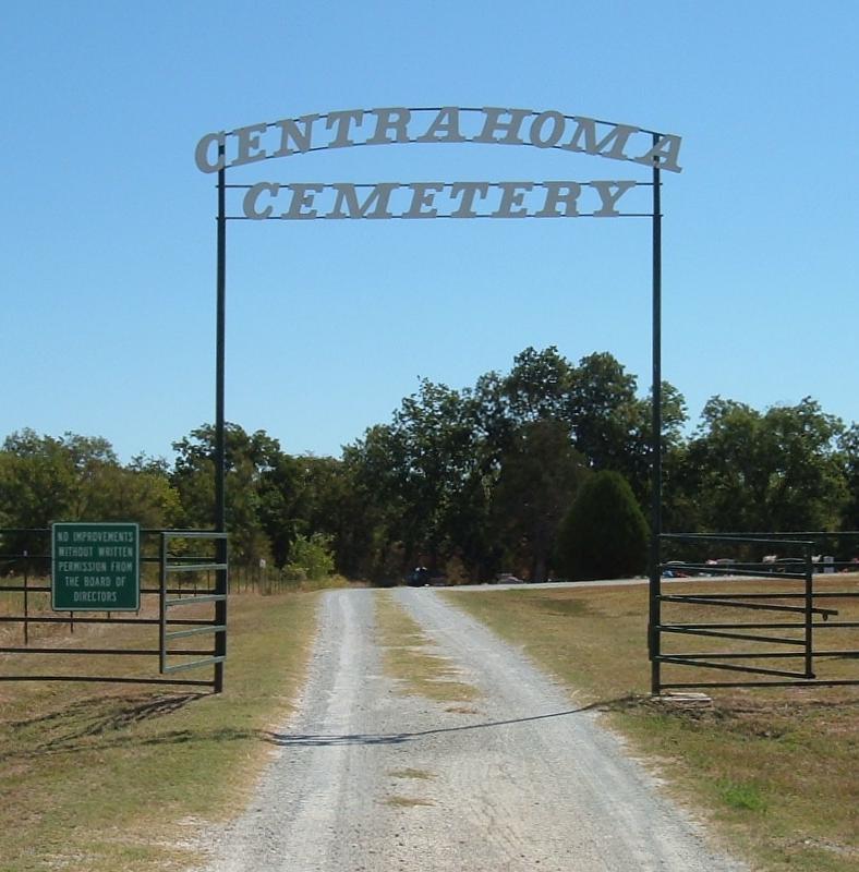
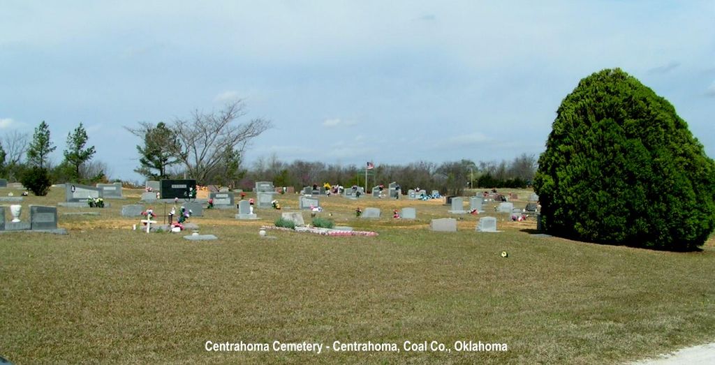
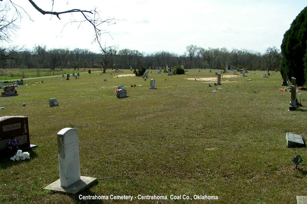
| Description | : | The land for the old part of the cemetery was donated by the family of Elmer and Susan Jones in 1903. The first person to be buried there was Elmer Jones in 1903. On January 19, 1954, an oil company donated 6.36 acres of land to the cemetery and this area is called the "new part." A perpetual fund was begun in 1978. Only the interest from the fund is used to maintain the cemetery. The association conducted a three-year survey and all information was gathered and recorded from 1,097 tombstones in the cemetery. A count in about 2003 found... Read More |
frequently asked questions (FAQ):
-
Where is Centrahoma Cemetery?
Centrahoma Cemetery is located at Centrahoma, Coal County ,Oklahoma ,USA.
-
Centrahoma Cemetery cemetery's updated grave count on graveviews.com?
8 memorials
-
Where are the coordinates of the Centrahoma Cemetery?
Latitude: 34.6061707
Longitude: -96.3365326
Nearby Cemetories:
1. Round Lake Cemetery
Centrahoma, Coal County, USA
Coordinate: 34.5778008, -96.3371964
2. Selcer Cemetery
Coal County, USA
Coordinate: 34.6112301, -96.4042418
3. Byrds Prairie Cemetery
Tupelo, Coal County, USA
Coordinate: 34.5792007, -96.4122009
4. Nixon Cemetery
Coalgate, Coal County, USA
Coordinate: 34.5345150, -96.3253070
5. Globe Cemetery
Coal County, USA
Coordinate: 34.6921997, -96.3272018
6. Lula Cemetery
Lula, Pontotoc County, USA
Coordinate: 34.6869011, -96.4113998
7. Keel Family Cemetery
Coal County, USA
Coordinate: 34.5064011, -96.3703003
8. Coalgate Cemetery
Coalgate, Coal County, USA
Coordinate: 34.5628014, -96.2155991
9. Boiling Springs Cemetery
Coal County, USA
Coordinate: 34.7225150, -96.3553670
10. Pleasant Grove Cemetery
Tupelo, Coal County, USA
Coordinate: 34.6688995, -96.4582977
11. Ott Cemetery
Coal County, USA
Coordinate: 34.6244011, -96.1931000
12. Wilson Cemetery
Clarita, Coal County, USA
Coordinate: 34.5196991, -96.4372025
13. Davis Cemetery
Coal County, USA
Coordinate: 34.4860992, -96.3321991
14. Sealy Cemetery
Coal County, USA
Coordinate: 34.4775009, -96.3202972
15. McCarty Cemetery
Coal County, USA
Coordinate: 34.6542015, -96.1849976
16. Woodman Cemetery
Coalgate, Coal County, USA
Coordinate: 34.5341988, -96.1996994
17. Calvary Cemetery
Phillips, Coal County, USA
Coordinate: 34.5121994, -96.2136002
18. Pleasant Hill Cemetery
Coal County, USA
Coordinate: 34.5475006, -96.4894028
19. Pine Cemetery
Coal County, USA
Coordinate: 34.7263985, -96.2375031
20. James Family Cemetery
Olney, Coal County, USA
Coordinate: 34.4617100, -96.3872100
21. Lehigh Cemetery
Lehigh, Coal County, USA
Coordinate: 34.4775900, -96.2319400
22. Highland Cemetery
Stonewall, Pontotoc County, USA
Coordinate: 34.6316986, -96.5286026
23. Jesse Cemetery
Jesse, Pontotoc County, USA
Coordinate: 34.5847200, -96.5298700
24. Moore Cemetery
Clarita, Coal County, USA
Coordinate: 34.4625015, -96.4261017


