
| Memorials | : | 4 |
| Location | : | Clarita, Coal County, USA |
| Coordinate | : | 34.4625015, -96.4261017 |
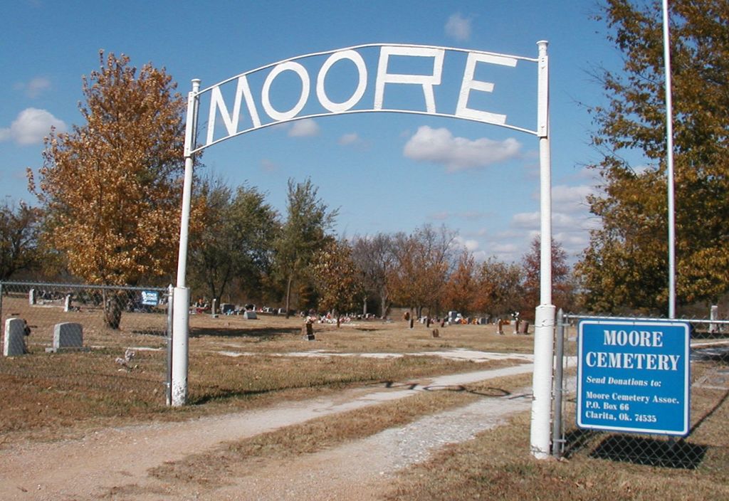
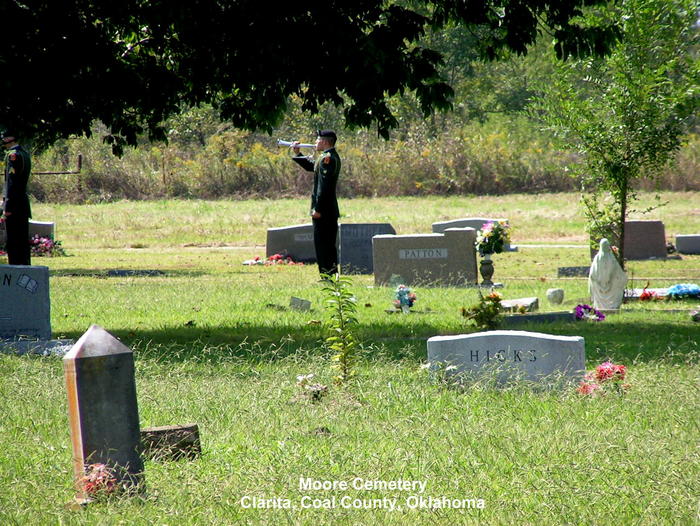
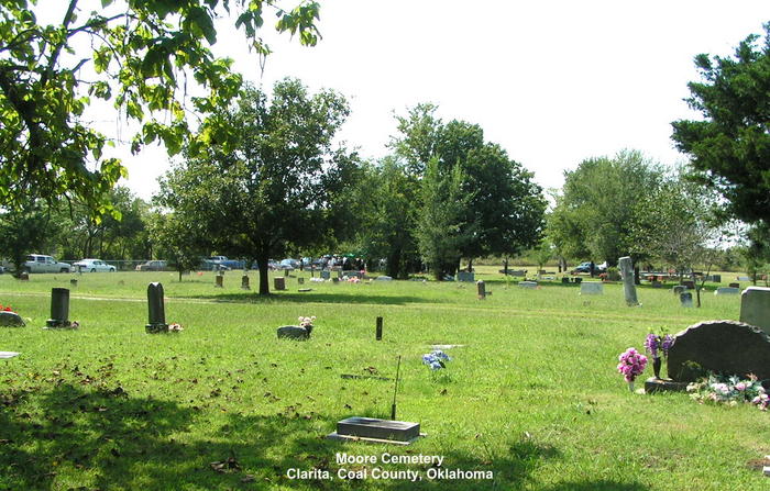
| Description | : | On Highway 48 go south of the Clarita exit sign about one mile. The cemetery is on the north or the right side of the road. The cemetery was on the original Indian grant of Frank Wright. The first grave at the Moore Cemetery was a small girl's grave located on the east side of the cemetery with a lamb on the tombstone. James and Elizabeth Moore moved to Indian Territory from North Carolina in 1892. In 1898 the Moore's son, Robert Lee died and was the 2nd person to be buried at this cemetery. James Moore was... Read More |
frequently asked questions (FAQ):
-
Where is Moore Cemetery?
Moore Cemetery is located at Clarita, Coal County ,Oklahoma ,USA.
-
Moore Cemetery cemetery's updated grave count on graveviews.com?
4 memorials
-
Where are the coordinates of the Moore Cemetery?
Latitude: 34.4625015
Longitude: -96.4261017
Nearby Cemetories:
1. Clarita Amish Cemetery
Coal County, USA
Coordinate: 34.4343416, -96.4394419
2. James Family Cemetery
Olney, Coal County, USA
Coordinate: 34.4617100, -96.3872100
3. Worcester Cemetery
Coal County, USA
Coordinate: 34.4221000, -96.4589590
4. Wilson Cemetery
Clarita, Coal County, USA
Coordinate: 34.5196991, -96.4372025
5. Keel Family Cemetery
Coal County, USA
Coordinate: 34.5064011, -96.3703003
6. Rose Hill Cemetery
Wapanucka, Johnston County, USA
Coordinate: 34.3883018, -96.4244003
7. Davis Cemetery
Coal County, USA
Coordinate: 34.4860992, -96.3321991
8. Sealy Cemetery
Coal County, USA
Coordinate: 34.4775009, -96.3202972
9. Wells Valley Cemetery
Bromide, Johnston County, USA
Coordinate: 34.3869019, -96.4891968
10. Whitehall Cemetery
Atoka County, USA
Coordinate: 34.4166985, -96.3230972
11. Pleasant Hill Cemetery
Coal County, USA
Coordinate: 34.5475006, -96.4894028
12. Nixon Cemetery
Coalgate, Coal County, USA
Coordinate: 34.5345150, -96.3253070
13. Byrds Prairie Cemetery
Tupelo, Coal County, USA
Coordinate: 34.5792007, -96.4122009
14. Lawrence-Banks Family Cemetery
Atoka, Atoka County, USA
Coordinate: 34.3452790, -96.3545610
15. Pilgrim Cemetery
Johnston County, USA
Coordinate: 34.4268990, -96.5832977
16. Round Lake Cemetery
Centrahoma, Coal County, USA
Coordinate: 34.5778008, -96.3371964
17. Standing Rock Cemetery
Atoka County, USA
Coordinate: 34.3863983, -96.2810974
18. Valley View Cemetery
Atoka County, USA
Coordinate: 34.4068985, -96.2632980
19. Enterprise Cemetery
Wapanucka, Johnston County, USA
Coordinate: 34.3153150, -96.4531900
20. Jesse Cemetery
Jesse, Pontotoc County, USA
Coordinate: 34.5847200, -96.5298700
21. Selcer Cemetery
Coal County, USA
Coordinate: 34.6112301, -96.4042418
22. Seeley Cemetery
Connerville, Johnston County, USA
Coordinate: 34.4556007, -96.6119003
23. Lehigh Cemetery
Lehigh, Coal County, USA
Coordinate: 34.4775900, -96.2319400
24. Centrahoma Cemetery
Centrahoma, Coal County, USA
Coordinate: 34.6061707, -96.3365326