| Memorials | : | 0 |
| Location | : | Tioga, Williams County, USA |
| Coordinate | : | 48.3911018, -102.9411011 |
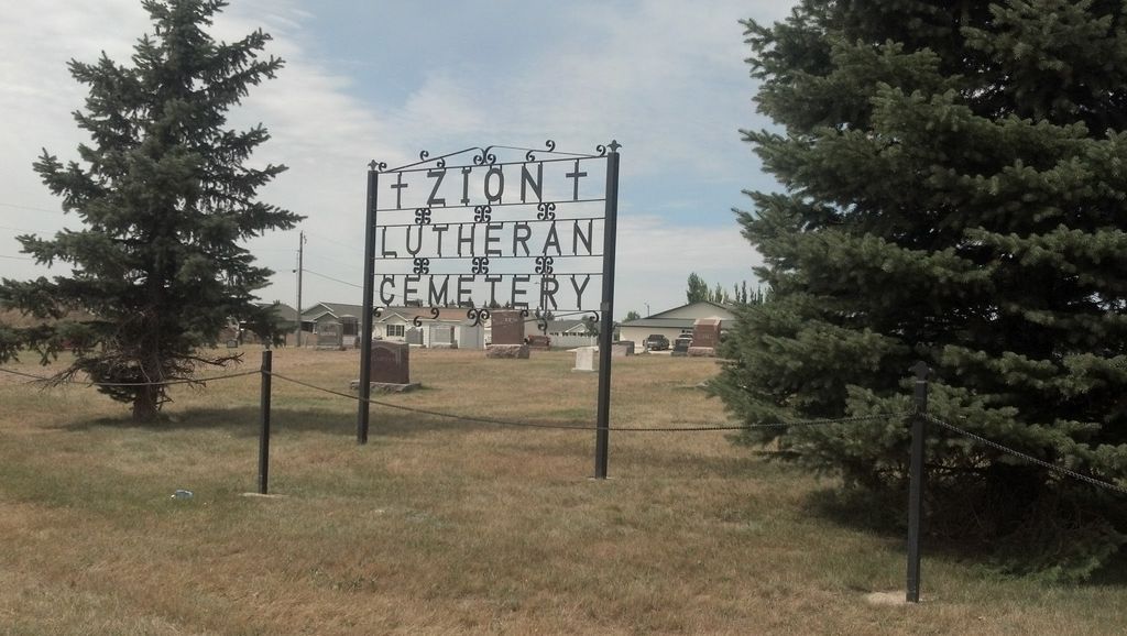
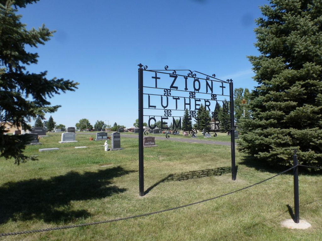
| Description | : | Township 157 - Range 95 - Section 27 of Tioga Township South of Tioga on the West side of the road. The first cemetery was known as the Simon Cemetery at this location on NW Simon land. It was later known as the Hillside Cemetery and today is known as the Zion Lutheran Cemetery. The church was originally located at this location in 1915 and later removed. |
frequently asked questions (FAQ):
-
Where is Zion Lutheran Cemetery?
Zion Lutheran Cemetery is located at Tioga, Williams County ,North Dakota ,USA.
-
Zion Lutheran Cemetery cemetery's updated grave count on graveviews.com?
0 memorials
-
Where are the coordinates of the Zion Lutheran Cemetery?
Latitude: 48.3911018
Longitude: -102.9411011
Nearby Cemetories:
1. United Cemetery
Tioga, Williams County, USA
Coordinate: 48.3885994, -102.9396973
2. Minton Cemetery
Williams County, USA
Coordinate: 48.3867760, -102.9412060
3. Eastside Cemetery
Tioga, Williams County, USA
Coordinate: 48.3939018, -102.9235992
4. Bakken Cemetery
Tioga, Williams County, USA
Coordinate: 48.4160995, -102.9216995
5. Temple Cemetery
Temple, Williams County, USA
Coordinate: 48.3871994, -103.0475006
6. Trinity Lutheran Cemetery
Tioga, Williams County, USA
Coordinate: 48.2980800, -102.9476700
7. Emmanual Lutheran German Cemetery
Ray, Williams County, USA
Coordinate: 48.3278008, -103.0580978
8. Saint Francis Catholic Cemetery
White Earth, Mountrail County, USA
Coordinate: 48.3724213, -102.7795181
9. Norman Lutheran Cemetery
White Earth, Mountrail County, USA
Coordinate: 48.4879417, -102.8506165
10. White Earth Cemetery
White Earth, Mountrail County, USA
Coordinate: 48.3718987, -102.7639008
11. Betaini Lutheran Cemetery
Tioga, Williams County, USA
Coordinate: 48.2691994, -102.9558029
12. Saint Olaf Cemetery
Temple, Williams County, USA
Coordinate: 48.5069008, -103.0160980
13. Beauty Valley Cemetery
Mountrail County, USA
Coordinate: 48.5024986, -102.8488998
14. Lindahl Lutheran Cemetery
McGregor, Williams County, USA
Coordinate: 48.5226550, -102.9286890
15. Kristiansand Cemetery
White Earth, Mountrail County, USA
Coordinate: 48.2839012, -102.8050003
16. Saint Michaels Cemetery
Ray, Williams County, USA
Coordinate: 48.3483009, -103.1781006
17. Hilltop Cemetery
Wheelock, Williams County, USA
Coordinate: 48.2915560, -103.1414530
18. Sunset Rest Cemetery
Ray, Williams County, USA
Coordinate: 48.3431015, -103.1905975
19. Soine Family Cemetery
Ray, Williams County, USA
Coordinate: 48.3349990, -103.1952670
20. Dunkard Church Cemetery
Wheelock, Williams County, USA
Coordinate: 48.3431620, -103.2371250
21. Stordahl Cemetery
Hamlet, Williams County, USA
Coordinate: 48.5614014, -103.1231003
22. Grong Cemetery
Hamlet, Williams County, USA
Coordinate: 48.5966700, -103.0164400
23. Bethel Cemetery
Battleview, Burke County, USA
Coordinate: 48.5746994, -102.7797012
24. Sharon Cemetery
McGregor, Williams County, USA
Coordinate: 48.6039009, -102.9400024


