
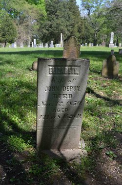
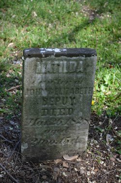
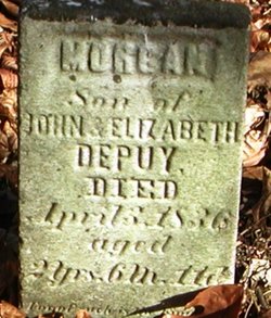
| Birth | : | 1830 Indiana, USA |
| Death | : | 6 Feb 1893 Chicago, Cook County, Illinois, USA |
| Burial | : | St. Mary the Virgin Churchyard, Bottesford, Melton Borough, England |
| Coordinate | : | 52.9434270, -0.8001460 |
| Description | : | He married Mariah Taylor October 5, 1851 in Vermillion County, Indiana. In the 1870 census, he was listed as a physician, and they had two sons, John O. & James A. Mary Taylor was listed as doing housework for them. The following obit, courtesy of Carolyn Schwab, has him being interred in Woodlawn Cemetery in Terre Haute. He must have had his monument erected after his first wife, Mariah Taylor DePuy passed away, but after he married again, his wife buried him in Woodlawn - # 71451797. Newport Hoosier State Wednesday, February 8, 1893 From Terre Haute Express of Yesterday Word has been received... Read More |
frequently asked questions (FAQ):
-
Where is Abraham H. DePuy's memorial?
Abraham H. DePuy's memorial is located at: St. Mary the Virgin Churchyard, Bottesford, Melton Borough, England.
-
When did Abraham H. DePuy death?
Abraham H. DePuy death on 6 Feb 1893 in Chicago, Cook County, Illinois, USA
-
Where are the coordinates of the Abraham H. DePuy's memorial?
Latitude: 52.9434270
Longitude: -0.8001460
Family Members:
Parent
Spouse

Siblings
Flowers:


Nearby Cemetories:
1. St. Mary the Virgin Churchyard
Bottesford, Melton Borough, England
Coordinate: 52.9434270, -0.8001460
2. St John the Baptist Churchyard
Muston, Melton Borough, England
Coordinate: 52.9315700, -0.7680600
3. St Peter Churchyard
Redmile, Melton Borough, England
Coordinate: 52.9113200, -0.8161530
4. St Mary's Churchyard
Kilvington, Newark and Sherwood District, England
Coordinate: 52.9772500, -0.8092250
5. St Mary's Churchyard
Orston, Rushcliffe Borough, England
Coordinate: 52.9622500, -0.8560300
6. St Peter's Churchyard
Flawborough, Rushcliffe Borough, England
Coordinate: 52.9773700, -0.8365800
7. Barkestone le Vale St Peter & St Paul
Barkestone, Melton Borough, England
Coordinate: 52.9062600, -0.8450200
8. St. Lawrence Churchyard
Sedgebrook, South Kesteven District, England
Coordinate: 52.9329460, -0.7256530
9. Belvoir Priory
Bottesford, Melton Borough, England
Coordinate: 52.8982090, -0.7825130
10. St James Churchyard
Allington, South Kesteven District, England
Coordinate: 52.9525695, -0.7245301
11. Belvoir Castle
Belvoir, Melton Borough, England
Coordinate: 52.8911170, -0.7855620
12. St Swithun Churchyard
Long Bennington, South Kesteven District, England
Coordinate: 52.9856290, -0.7449190
13. St James Churchyard
Woolsthorpe-by-Belvoir, South Kesteven District, England
Coordinate: 52.8957880, -0.7578370
14. St Mary & All Saints Churchyard
Shelton, Rushcliffe Borough, England
Coordinate: 52.9932200, -0.8389300
15. St. John of Beverley Churchyard
Whatton, Rushcliffe Borough, England
Coordinate: 52.9493000, -0.8926000
16. St. Helen's Churchyard
Plungar, Melton Borough, England
Coordinate: 52.8986260, -0.8569390
17. All Saints Churchyard
Granby, Rushcliffe Borough, England
Coordinate: 52.9180770, -0.8847700
18. St Peter Churchyard
Foston, South Kesteven District, England
Coordinate: 52.9771630, -0.7227360
19. All Saints Churchyard
Westborough, South Kesteven District, England
Coordinate: 52.9892900, -0.7350100
20. St Mary & All Saints Churchyard
Hawksworth, Rushcliffe Borough, England
Coordinate: 52.9831700, -0.8800500
21. All Saints Churchyard
Barrowby, South Kesteven District, England
Coordinate: 52.9186420, -0.6946810
22. St John of Beverley Churchyard
Scarrington, Rushcliffe Borough, England
Coordinate: 52.9667400, -0.9071900
23. St Michael & All Angels Churchyard
Harston, Melton Borough, England
Coordinate: 52.8769700, -0.7556000
24. All Saints Churchyard
Knipton, South Kesteven District, England
Coordinate: 52.8711300, -0.7769400