
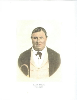
| Birth | : | 1 Jan 1829 Williams County, Ohio, USA |
| Death | : | 26 Mar 1875 Terre Haute, Vigo County, Indiana, USA |
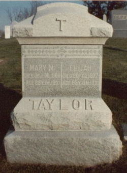
| Burial | : | St. Mary the Virgin Churchyard, Bottesford, Melton Borough, England |
| Coordinate | : | 52.9434270, -0.8001460 |
| Description | : | She married Abraham Depuy (Depeuy on license) October 5, 1851 in Vermillion County, Indiana. The following obit is courtesy of Carolyn Schwab. (From Terre Haute Gazette) Newport Hoosier State Thursday, April 8, 1875 Early Friday morning, March 26, 1875, Mrs. Maria Depuy, wife of A.H. Depuy MD, died at her residence on North Sixth and a half Street. Mrs. Depuy was bon in Williams County, January 1, 1829, and her home has always been in this state. She joined the Baptist Church at "Hiddles Prairie", about 1851. During the last 5 years she has resided in Terre Haute. For many years she has... Read More |
frequently asked questions (FAQ):
-
Where is Maria Taylor DePuy's memorial?
Maria Taylor DePuy's memorial is located at: St. Mary the Virgin Churchyard, Bottesford, Melton Borough, England.
-
When did Maria Taylor DePuy death?
Maria Taylor DePuy death on 26 Mar 1875 in Terre Haute, Vigo County, Indiana, USA
-
Where are the coordinates of the Maria Taylor DePuy's memorial?
Latitude: 52.9434270
Longitude: -0.8001460
Family Members:
Parent
Spouse

Siblings
Children
Flowers:


Nearby Cemetories:
1. St. Mary the Virgin Churchyard
Bottesford, Melton Borough, England
Coordinate: 52.9434270, -0.8001460
2. St John the Baptist Churchyard
Muston, Melton Borough, England
Coordinate: 52.9315700, -0.7680600
3. St Peter Churchyard
Redmile, Melton Borough, England
Coordinate: 52.9113200, -0.8161530
4. St Mary's Churchyard
Kilvington, Newark and Sherwood District, England
Coordinate: 52.9772500, -0.8092250
5. St Mary's Churchyard
Orston, Rushcliffe Borough, England
Coordinate: 52.9622500, -0.8560300
6. St Peter's Churchyard
Flawborough, Rushcliffe Borough, England
Coordinate: 52.9773700, -0.8365800
7. Barkestone le Vale St Peter & St Paul
Barkestone, Melton Borough, England
Coordinate: 52.9062600, -0.8450200
8. St. Lawrence Churchyard
Sedgebrook, South Kesteven District, England
Coordinate: 52.9329460, -0.7256530
9. Belvoir Priory
Bottesford, Melton Borough, England
Coordinate: 52.8982090, -0.7825130
10. St James Churchyard
Allington, South Kesteven District, England
Coordinate: 52.9525695, -0.7245301
11. Belvoir Castle
Belvoir, Melton Borough, England
Coordinate: 52.8911170, -0.7855620
12. St Swithun Churchyard
Long Bennington, South Kesteven District, England
Coordinate: 52.9856290, -0.7449190
13. St James Churchyard
Woolsthorpe-by-Belvoir, South Kesteven District, England
Coordinate: 52.8957880, -0.7578370
14. St Mary & All Saints Churchyard
Shelton, Rushcliffe Borough, England
Coordinate: 52.9932200, -0.8389300
15. St. John of Beverley Churchyard
Whatton, Rushcliffe Borough, England
Coordinate: 52.9493000, -0.8926000
16. St. Helen's Churchyard
Plungar, Melton Borough, England
Coordinate: 52.8986260, -0.8569390
17. All Saints Churchyard
Granby, Rushcliffe Borough, England
Coordinate: 52.9180770, -0.8847700
18. St Peter Churchyard
Foston, South Kesteven District, England
Coordinate: 52.9771630, -0.7227360
19. All Saints Churchyard
Westborough, South Kesteven District, England
Coordinate: 52.9892900, -0.7350100
20. St Mary & All Saints Churchyard
Hawksworth, Rushcliffe Borough, England
Coordinate: 52.9831700, -0.8800500
21. All Saints Churchyard
Barrowby, South Kesteven District, England
Coordinate: 52.9186420, -0.6946810
22. St John of Beverley Churchyard
Scarrington, Rushcliffe Borough, England
Coordinate: 52.9667400, -0.9071900
23. St Michael & All Angels Churchyard
Harston, Melton Borough, England
Coordinate: 52.8769700, -0.7556000
24. All Saints Churchyard
Knipton, South Kesteven District, England
Coordinate: 52.8711300, -0.7769400