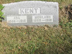
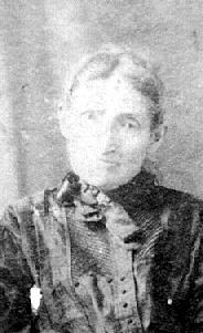
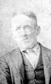
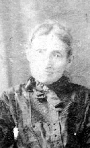
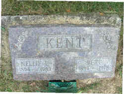
Ada Ruth Lamb Kent
| Birth | : | 28 Oct 1847 Illinois, USA |
| Death | : | 13 Feb 1918 Rockville, Parke County, Indiana, USA |
| Burial | : | Saint Marys Cemetery, Guttenberg, Clayton County, USA |
| Coordinate | : | 42.7691994, -91.1352997 |
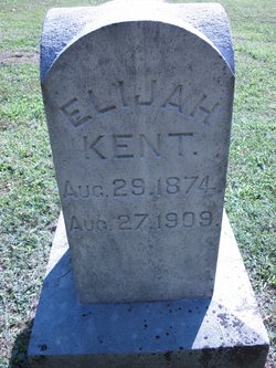
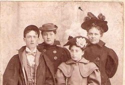
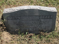
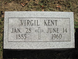
| Description | : | Mrs. Ada Kent, 68 years old, widow of the late Morland, died late Wednesday morning at the residence a mile and half south east of Rockville. She is survived by six children;, Mrs. Sterling Lynch, Wilburn, Shelby, William, Virgil and Bert Kent. One son, Elijah, died several years ago. Zemri, Andrew and Joe Lamb are brothers and Rose Magee, Mrs. Ellis Kent and Mrsl George Lewis are sisters of the deceased. Funeral services were Friday morning, conducted by Rev.S.K. Fuson of the Baptist church, followed by burial in the Rowe Cemetery. Source: Rockville Tribune,... Read More |
frequently asked questions (FAQ):
-
Where is Ada Ruth Lamb Kent's memorial?
Ada Ruth Lamb Kent's memorial is located at: Saint Marys Cemetery, Guttenberg, Clayton County, USA.
-
When did Ada Ruth Lamb Kent death?
Ada Ruth Lamb Kent death on 13 Feb 1918 in Rockville, Parke County, Indiana, USA
-
Where are the coordinates of the Ada Ruth Lamb Kent's memorial?
Latitude: 42.7691994
Longitude: -91.1352997
Family Members:
Parent
Spouse
Siblings
Children
Flowers:
Nearby Cemetories:
1. Saint Marys Cemetery
Guttenberg, Clayton County, USA
Coordinate: 42.7691994, -91.1352997
2. Mount Olivet Cemetery
Guttenberg, Clayton County, USA
Coordinate: 42.7764840, -91.1083560
3. Guttenberg Cemetery
Guttenberg, Clayton County, USA
Coordinate: 42.7691994, -91.1035995
4. Saint Johns Cemetery
Jefferson Township, Clayton County, USA
Coordinate: 42.7497000, -91.1133000
5. Storck Cemetery
Guttenberg, Clayton County, USA
Coordinate: 42.7694335, -91.1834638
6. Lewis Cemetery
Osterdock, Clayton County, USA
Coordinate: 42.7416000, -91.1834000
7. Saint Paula Cemetery
Osterdock, Clayton County, USA
Coordinate: 42.7635994, -91.1992035
8. Saint Michael Cemetery
Clayton County, USA
Coordinate: 42.8055992, -91.1802979
9. Borcherding Cemetery
Jefferson Township, Clayton County, USA
Coordinate: 42.8182983, -91.1414032
10. Bierer Cemetery
Millville, Clayton County, USA
Coordinate: 42.7230500, -91.0925166
11. Old Saint Marys Cemetery
Glen Haven, Grant County, USA
Coordinate: 42.8078100, -91.0675330
12. Friedlein Cemetery
Millville, Clayton County, USA
Coordinate: 42.7080994, -91.1108017
13. Redman Cemetery
Millville, Clayton County, USA
Coordinate: 42.7166755, -91.0852901
14. Pioneer Rock Cemetery
Ceres, Clayton County, USA
Coordinate: 42.8230591, -91.1863937
15. Bethel Cemetery
Osterdock, Clayton County, USA
Coordinate: 42.7041702, -91.1688919
16. Charlotte Cemetery
Glen Haven, Grant County, USA
Coordinate: 42.7933006, -91.0381012
17. McClelland Cemetery
Garnavillo, Clayton County, USA
Coordinate: 42.8249879, -91.2084641
18. Duncan Cemetery
Glen Haven, Grant County, USA
Coordinate: 42.8325540, -91.0725940
19. Graham Cemetery
Millville, Clayton County, USA
Coordinate: 42.6833172, -91.1195685
20. Gockel Cemetery
Glen Haven, Grant County, USA
Coordinate: 42.8224983, -91.0385971
21. Tangeman Family Cemetery
Garnavillo, Clayton County, USA
Coordinate: 42.8580000, -91.1420000
22. Old Garber Cemetery
Garber, Clayton County, USA
Coordinate: 42.7560005, -91.2580032
23. Bolsinger Cemetery
Mallory Township, Clayton County, USA
Coordinate: 42.6776340, -91.1424090
24. Goshen Cemetery
Millville, Clayton County, USA
Coordinate: 42.6905594, -91.0544434

