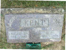
Israel Morland Kent
| Birth | : | 1 Jan 1846 Parke County, Indiana, USA |
| Death | : | 7 Jun 1915 Parke County, Indiana, USA |
| Burial | : | Saint Marys Cemetery, Guttenberg, Clayton County, USA |
| Coordinate | : | 42.7691994, -91.1352997 |
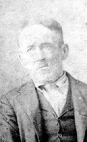
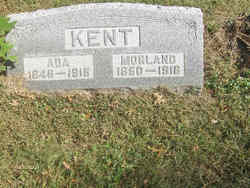
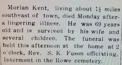
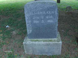
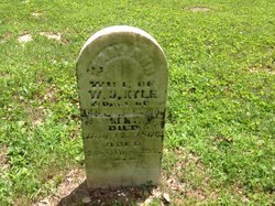
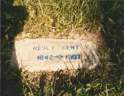
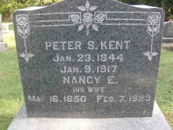
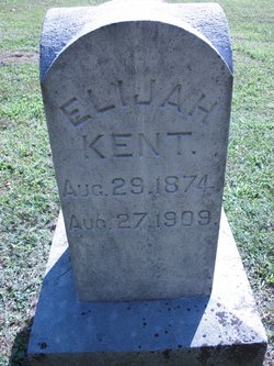
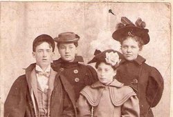
| Description | : | Note: The photo is actually Wesley Kent brother of Morland (Morlan) Kent who married Annis Lamb. The Photo is made available as the Kent men had many facial features that resembled one another in the next generation. I also have included on Ada Lamb Kent's Findagrave (Morland's wife) a photo of her sister Annis Lamb Kent (Wesley Kent's wife) for the same reason as the sisters must have resembled one another also. ___________________ Morland (Morlan) Kent, living about one and half miles south east of town, died Monday afternoon after a lingering illness. He was... Read More |
frequently asked questions (FAQ):
-
Where is Israel Morland Kent's memorial?
Israel Morland Kent's memorial is located at: Saint Marys Cemetery, Guttenberg, Clayton County, USA.
-
When did Israel Morland Kent death?
Israel Morland Kent death on 7 Jun 1915 in Parke County, Indiana, USA
-
Where are the coordinates of the Israel Morland Kent's memorial?
Latitude: 42.7691994
Longitude: -91.1352997
Family Members:
Parent
Spouse
Siblings
Children
Flowers:
Nearby Cemetories:
1. Saint Marys Cemetery
Guttenberg, Clayton County, USA
Coordinate: 42.7691994, -91.1352997
2. Mount Olivet Cemetery
Guttenberg, Clayton County, USA
Coordinate: 42.7764840, -91.1083560
3. Guttenberg Cemetery
Guttenberg, Clayton County, USA
Coordinate: 42.7691994, -91.1035995
4. Saint Johns Cemetery
Jefferson Township, Clayton County, USA
Coordinate: 42.7497000, -91.1133000
5. Storck Cemetery
Guttenberg, Clayton County, USA
Coordinate: 42.7694335, -91.1834638
6. Lewis Cemetery
Osterdock, Clayton County, USA
Coordinate: 42.7416000, -91.1834000
7. Saint Paula Cemetery
Osterdock, Clayton County, USA
Coordinate: 42.7635994, -91.1992035
8. Saint Michael Cemetery
Clayton County, USA
Coordinate: 42.8055992, -91.1802979
9. Borcherding Cemetery
Jefferson Township, Clayton County, USA
Coordinate: 42.8182983, -91.1414032
10. Bierer Cemetery
Millville, Clayton County, USA
Coordinate: 42.7230500, -91.0925166
11. Old Saint Marys Cemetery
Glen Haven, Grant County, USA
Coordinate: 42.8078100, -91.0675330
12. Friedlein Cemetery
Millville, Clayton County, USA
Coordinate: 42.7080994, -91.1108017
13. Redman Cemetery
Millville, Clayton County, USA
Coordinate: 42.7166755, -91.0852901
14. Pioneer Rock Cemetery
Ceres, Clayton County, USA
Coordinate: 42.8230591, -91.1863937
15. Bethel Cemetery
Osterdock, Clayton County, USA
Coordinate: 42.7041702, -91.1688919
16. Charlotte Cemetery
Glen Haven, Grant County, USA
Coordinate: 42.7933006, -91.0381012
17. McClelland Cemetery
Garnavillo, Clayton County, USA
Coordinate: 42.8249879, -91.2084641
18. Duncan Cemetery
Glen Haven, Grant County, USA
Coordinate: 42.8325540, -91.0725940
19. Graham Cemetery
Millville, Clayton County, USA
Coordinate: 42.6833172, -91.1195685
20. Gockel Cemetery
Glen Haven, Grant County, USA
Coordinate: 42.8224983, -91.0385971
21. Tangeman Family Cemetery
Garnavillo, Clayton County, USA
Coordinate: 42.8580000, -91.1420000
22. Old Garber Cemetery
Garber, Clayton County, USA
Coordinate: 42.7560005, -91.2580032
23. Bolsinger Cemetery
Mallory Township, Clayton County, USA
Coordinate: 42.6776340, -91.1424090
24. Goshen Cemetery
Millville, Clayton County, USA
Coordinate: 42.6905594, -91.0544434

