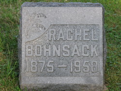
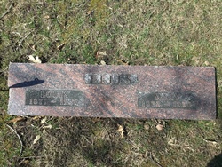
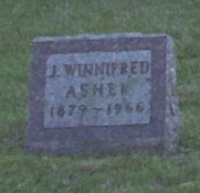
Addie Rachel Woodard Bohnsack
| Birth | : | 15 May 1875 Marshall County, Iowa, USA |
| Death | : | 24 Feb 1958 Marshalltown, Marshall County, Iowa, USA |
| Burial | : | West Point Cemetery, West Point, Calaveras County, USA |
| Coordinate | : | 38.3999650, -120.5327220 |
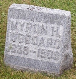
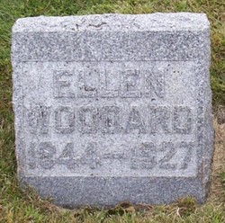
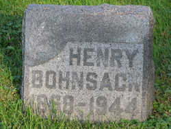
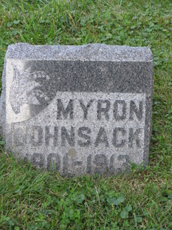
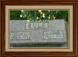
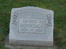
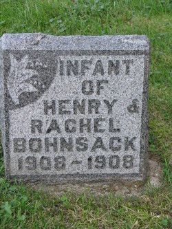
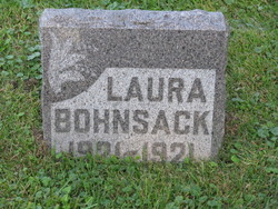
| Description | : | She was the daughter of Myron and Ellen Johnson Woodard. She married Henry Bohnsack March 23, 1898 at LaMoille, Iowa. They were the parents of George, Myron, Laura and Oliver Bohnsack, Mrs Kenneth Rule and Mrs Don Tuttle. |
frequently asked questions (FAQ):
-
Where is Addie Rachel Woodard Bohnsack's memorial?
Addie Rachel Woodard Bohnsack's memorial is located at: West Point Cemetery, West Point, Calaveras County, USA.
-
When did Addie Rachel Woodard Bohnsack death?
Addie Rachel Woodard Bohnsack death on 24 Feb 1958 in Marshalltown, Marshall County, Iowa, USA
-
Where are the coordinates of the Addie Rachel Woodard Bohnsack's memorial?
Latitude: 38.3999650
Longitude: -120.5327220
Family Members:
Parent
Spouse
Siblings
Children
Flowers:
Nearby Cemetories:
1. West Point Cemetery
West Point, Calaveras County, USA
Coordinate: 38.3999650, -120.5327220
2. Sandy Gulch Cemetery
West Point, Calaveras County, USA
Coordinate: 38.3815700, -120.5377900
3. Indian Cemetery
West Point, Calaveras County, USA
Coordinate: 38.3811400, -120.5348700
4. Amador Memorial Cemetery
Pioneer, Amador County, USA
Coordinate: 38.4398918, -120.5428314
5. Independence Cemetery
Rail Road Flat, Calaveras County, USA
Coordinate: 38.3564230, -120.5202020
6. Albers Ranch Family Cemetery
Glencoe, Calaveras County, USA
Coordinate: 38.3601000, -120.5673600
7. Danielson Ranch Cemetery
Glencoe, Calaveras County, USA
Coordinate: 38.3578440, -120.5738220
8. Sandoz-Fuchs Family Cemetery
Calaveras County, USA
Coordinate: 38.3747150, -120.4540210
9. Aqueduct City Cemetery
Pine Grove, Amador County, USA
Coordinate: 38.3978004, -120.6302872
10. Volcano Protestant Cemetery
Volcano, Amador County, USA
Coordinate: 38.4449997, -120.6269989
11. Volcano Catholic Cemetery
Volcano, Amador County, USA
Coordinate: 38.4459991, -120.6279984
12. Pine Grove Cemetery
Pine Grove, Amador County, USA
Coordinate: 38.4118780, -120.6596340
13. Baker Ranch Family Cemetery
Indian Creek, Calaveras County, USA
Coordinate: 38.3269500, -120.6208800
14. Lockwood Station Cemetery
Volcano, Amador County, USA
Coordinate: 38.4882670, -120.5954040
15. Saint Peter and Paul Catholic Cemetery
Clinton, Amador County, USA
Coordinate: 38.3750140, -120.6652150
16. Andreason Cemetery
Apex, El Dorado County, USA
Coordinate: 38.5292015, -120.5800018
17. Jesus Maria Cemetery
Jesus Maria, Calaveras County, USA
Coordinate: 38.2835970, -120.6405370
18. Mountain Ranch Grounds Cemetery
Mountain Ranch, Calaveras County, USA
Coordinate: 38.2532360, -120.5404110
19. Indian Diggings Cemetery
El Dorado County, USA
Coordinate: 38.5508003, -120.5849991
20. Saint Thomas Aquinas Cemetery
Mokelumne Hill, Calaveras County, USA
Coordinate: 38.3027344, -120.7031784
21. Mokelumne Hill Protestant Cemetery
Mokelumne Hill, Calaveras County, USA
Coordinate: 38.3023640, -120.7096420
22. Pioneer Jewish Cemetery
Mokelumne Hill, Calaveras County, USA
Coordinate: 38.3034096, -120.7138214
23. Mountain Ranch Cemetery
Mountain Ranch, Calaveras County, USA
Coordinate: 38.2282730, -120.5398440
24. Doster Family Cemetery
Mountain Ranch, Calaveras County, USA
Coordinate: 38.2295012, -120.6059266

