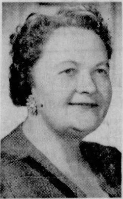
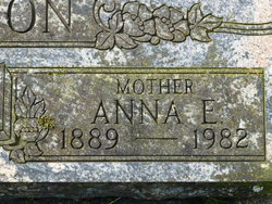
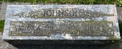
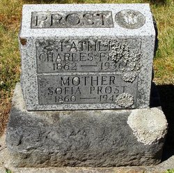
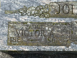
Anna E Prost Johnson
| Birth | : | 16 Mar 1889 Vaasa, Vaasa Municipality, Ostrobothnia, Finland |
| Death | : | 26 Jul 1982 Eugene, Lane County, Oregon, USA |
| Burial | : | Alexandria Cemetery, Alexandria, Campbell County, USA |
| Coordinate | : | 38.9536100, -84.3972300 |
| Plot | : | Mount Moriah, 10 4 C |
frequently asked questions (FAQ):
-
Where is Anna E Prost Johnson's memorial?
Anna E Prost Johnson's memorial is located at: Alexandria Cemetery, Alexandria, Campbell County, USA.
-
When did Anna E Prost Johnson death?
Anna E Prost Johnson death on 26 Jul 1982 in Eugene, Lane County, Oregon, USA
-
Where are the coordinates of the Anna E Prost Johnson's memorial?
Latitude: 38.9536100
Longitude: -84.3972300
Family Members:
Parent
Spouse
Siblings
Flowers:
Nearby Cemetories:
1. Alexandria Cemetery
Alexandria, Campbell County, USA
Coordinate: 38.9536100, -84.3972300
2. Saint Mary's Cemetery
Alexandria, Campbell County, USA
Coordinate: 38.9559100, -84.3877800
3. Saint Paul's Church Cemetery
Alexandria, Campbell County, USA
Coordinate: 38.9582720, -84.3877080
4. Old Baptist Cemetery
Alexandria, Campbell County, USA
Coordinate: 38.9603890, -84.3880590
5. Boyles Maxwell Family Cemetery
Alexandria, Campbell County, USA
Coordinate: 38.9553900, -84.3804900
6. Thatcher Family Cemetery
Campbell County, USA
Coordinate: 38.9665480, -84.3935800
7. Robert Shaw Family Cemetery
Alexandria, Campbell County, USA
Coordinate: 38.9623330, -84.3635670
8. Grant Family Cemetery
Grant, Kenton County, USA
Coordinate: 38.9743710, -84.4326160
9. Stephens Farm Cemetery
Alexandria, Campbell County, USA
Coordinate: 38.9566350, -84.3528650
10. Stamper Family Cemetery
Grant, Kenton County, USA
Coordinate: 38.9746130, -84.4338000
11. Weinel Family Graveyard
Claryville, Campbell County, USA
Coordinate: 38.9181780, -84.4245220
12. Kuhl Farm Cemetery
Claryville, Campbell County, USA
Coordinate: 38.9108330, -84.4064840
13. White Cemetery
Ryland Heights, Kenton County, USA
Coordinate: 38.9625000, -84.4583330
14. Saint Josephs Cemetery
Camp Springs, Campbell County, USA
Coordinate: 38.9953570, -84.3625520
15. White Cemetery
Ryland Heights, Kenton County, USA
Coordinate: 38.9628600, -84.4642900
16. Notley Maddox Cemetery
Claryville, Campbell County, USA
Coordinate: 38.9094450, -84.4375010
17. Carmack Cemetery
Carthage, Campbell County, USA
Coordinate: 38.9582510, -84.3272630
18. Willard Neal Farm Cemetery
Alexandria, Campbell County, USA
Coordinate: 38.9571660, -84.3254490
19. Notley Maddox Slave Cemetery
Claryville, Campbell County, USA
Coordinate: 38.9083320, -84.4394440
20. Cherry Family Cemetery
Persimmon Grove, Campbell County, USA
Coordinate: 38.9101700, -84.3451110
21. Pleasant Ridge Baptist Church Cemetery
Grants Lick, Campbell County, USA
Coordinate: 38.8949400, -84.4158200
22. Saint John Lutheran Church Cemetery
Camp Springs, Campbell County, USA
Coordinate: 39.0144150, -84.3826140
23. John Byrd Cemetery
Aspen Grove, Campbell County, USA
Coordinate: 38.8916990, -84.4032690
24. Winston Cemetery
Kenton, Kenton County, USA
Coordinate: 38.9030560, -84.4438890

