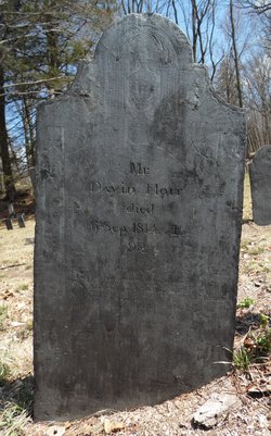
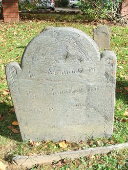
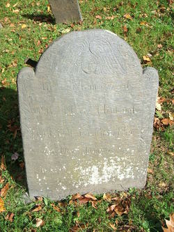
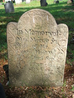
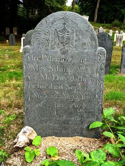
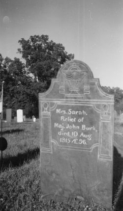
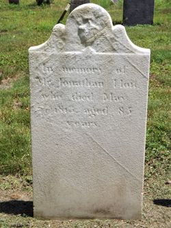
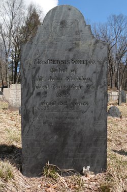
David Hoit
| Birth | : | 26 Oct 1722 Deerfield, Franklin County, Massachusetts, USA |
| Death | : | 6 Sep 1814 Deerfield, Franklin County, Massachusetts, USA |
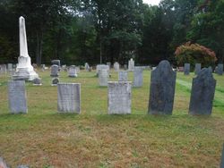
| Burial | : | Laurel Hill Cemetery, Deerfield, Franklin County, USA |
| Coordinate | : | 42.5416670, -72.5973020 |
| Description | : | Genealogical History of the Hoyt, Haight, and Hight Families. By David W. Hoyt. Providence, Providence Press Co, 1871, "He owned and occupied the "Old Indian House," at Deerfield. This house was occupied by a family named Sheldon when the town was destroyed in 1704, but came into the possession of the Hoyt family about 1742. It was taken down in 1848; but the old door, battered and cut by the Indians' tomahawks, is still preserved." (page 351) From Historic Deerfield: Houses and Interiors by Samuel Chamberlain and Henry N. Flynt, Hastings House, NY, 1965 During the early days... Read More |
frequently asked questions (FAQ):
-
Where is David Hoit's memorial?
David Hoit's memorial is located at: Laurel Hill Cemetery, Deerfield, Franklin County, USA.
-
When did David Hoit death?
David Hoit death on 6 Sep 1814 in Deerfield, Franklin County, Massachusetts, USA
-
Where are the coordinates of the David Hoit's memorial?
Latitude: 42.5416670
Longitude: -72.5973020
Family Members:
Parent
Spouse
Siblings
Children
Flowers:
Nearby Cemetories:
1. Laurel Hill Cemetery
Deerfield, Franklin County, USA
Coordinate: 42.5416670, -72.5973020
2. Old Deerfield Burying Ground
Deerfield, Franklin County, USA
Coordinate: 42.5449982, -72.6097031
3. Savage Farm Cemetery
Deerfield, Franklin County, USA
Coordinate: 42.5336700, -72.6245300
4. Baptist Cemetery
Deerfield, Franklin County, USA
Coordinate: 42.5555992, -72.6258011
5. East Deerfield Cemetery
Deerfield, Franklin County, USA
Coordinate: 42.5555992, -72.5642014
6. North Cemetery
Deerfield, Franklin County, USA
Coordinate: 42.5635100, -72.6249200
7. Calvary Cemetery
Greenfield, Franklin County, USA
Coordinate: 42.5764008, -72.6138992
8. Mater Dolorosa Cemetery
Greenfield, Franklin County, USA
Coordinate: 42.5758000, -72.6165000
9. Old Catholic Cemetery
Greenfield, Franklin County, USA
Coordinate: 42.5795753, -72.6064215
10. Green River Cemetery
Greenfield, Franklin County, USA
Coordinate: 42.5804400, -72.6052500
11. Pine Nook Cemetery
Deerfield, Franklin County, USA
Coordinate: 42.5086300, -72.5661400
12. Locust Hill Cemetery
Montague, Franklin County, USA
Coordinate: 42.5394700, -72.5363400
13. Elm Grove Cemetery
Montague, Franklin County, USA
Coordinate: 42.5418600, -72.5359000
14. Hawks Cemetery
Deerfield, Franklin County, USA
Coordinate: 42.5555992, -72.6583023
15. Old South Cemetery
Montague, Franklin County, USA
Coordinate: 42.5232500, -72.5360300
16. Burnham Cemetery
Montague, Franklin County, USA
Coordinate: 42.5875300, -72.5720140
17. Mill River Cemetery
Deerfield, Franklin County, USA
Coordinate: 42.5011890, -72.6377770
18. Federal Street Cemetery
Greenfield, Franklin County, USA
Coordinate: 42.5941400, -72.5977300
19. Lower Meadow Cemetery
Greenfield, Franklin County, USA
Coordinate: 42.5945600, -72.6200300
20. Cosby Family Cemetery
Shelburne, Franklin County, USA
Coordinate: 42.5566400, -72.6702100
21. Aaron Clark Memorial Cemetery
Montague, Franklin County, USA
Coordinate: 42.5836200, -72.5471600
22. Fairway Avenue Cemetery
Montague, Franklin County, USA
Coordinate: 42.5924270, -72.5646970
23. Our Lady of Czestochowa Cemetery
Montague, Franklin County, USA
Coordinate: 42.5846000, -72.5469400
24. North Sunderland Cemetery
Sunderland, Franklin County, USA
Coordinate: 42.4972000, -72.5492020

