
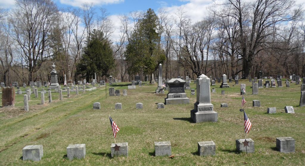
| Memorials | : | 87 |
| Location | : | Montague, Franklin County, USA |
| Coordinate | : | 42.5394700, -72.5363400 |
| Description | : | The Town of Montague refers to this cemetery in MassGIS as Parcel ID: 42-32. The Massachusetts Historical Commission refers to this cemetery in MACRIS as MNT800. |
frequently asked questions (FAQ):
-
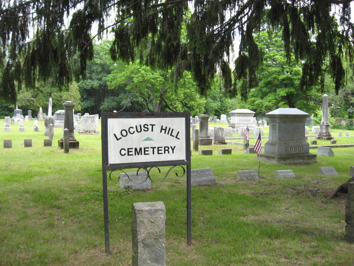
Where is Locust Hill Cemetery?
Locust Hill Cemetery is located at Turners Falls Road Montague, Franklin County ,Massachusetts ,USA.
-
Locust Hill Cemetery cemetery's updated grave count on graveviews.com?
83 memorials
-
Where are the coordinates of the Locust Hill Cemetery?
Latitude: 42.5394700
Longitude: -72.5363400
Nearby Cemetories:
1. Elm Grove Cemetery
Montague, Franklin County, USA
Coordinate: 42.5418600, -72.5359000
2. Old South Cemetery
Montague, Franklin County, USA
Coordinate: 42.5232500, -72.5360300
3. East Deerfield Cemetery
Deerfield, Franklin County, USA
Coordinate: 42.5555992, -72.5642014
4. Town Cemetery
Montague, Franklin County, USA
Coordinate: 42.5595000, -72.5070200
5. Pine Nook Cemetery
Deerfield, Franklin County, USA
Coordinate: 42.5086300, -72.5661400
6. Chestnut Hill Cemetery
Montague, Franklin County, USA
Coordinate: 42.5228004, -72.4822006
7. North Sunderland Cemetery
Sunderland, Franklin County, USA
Coordinate: 42.4972000, -72.5492020
8. Highland Cemetery
Montague, Franklin County, USA
Coordinate: 42.5778008, -72.5083008
9. Marvell Cemetery
Leverett, Franklin County, USA
Coordinate: 42.5028000, -72.5042038
10. Mount Hope Cemetery
Leverett, Franklin County, USA
Coordinate: 42.5111008, -72.4906006
11. Jackson Hill Cemetery
Leverett, Franklin County, USA
Coordinate: 42.5028000, -72.5028000
12. Aaron Clark Memorial Cemetery
Montague, Franklin County, USA
Coordinate: 42.5836200, -72.5471600
13. Laurel Hill Cemetery
Deerfield, Franklin County, USA
Coordinate: 42.5416670, -72.5973020
14. Our Lady of Czestochowa Cemetery
Montague, Franklin County, USA
Coordinate: 42.5846000, -72.5469400
15. East Mineral Road Cemetery
Montague, Franklin County, USA
Coordinate: 42.5810500, -72.5086300
16. Saint Marys Cemetery
Montague, Franklin County, USA
Coordinate: 42.5852200, -72.5475100
17. Saint Annes Cemetery
Montague, Franklin County, USA
Coordinate: 42.5861300, -72.5480600
18. Springdale Cemetery
Montague, Franklin County, USA
Coordinate: 42.5884700, -72.5530900
19. Mount Toby Cemetery
Leverett, Franklin County, USA
Coordinate: 42.4894810, -72.5174400
20. Old Deerfield Burying Ground
Deerfield, Franklin County, USA
Coordinate: 42.5449982, -72.6097031
21. Burnham Cemetery
Montague, Franklin County, USA
Coordinate: 42.5875300, -72.5720140
22. Dry Hill Cemetery
Montague, Franklin County, USA
Coordinate: 42.5558300, -72.4647600
23. Fairway Avenue Cemetery
Montague, Franklin County, USA
Coordinate: 42.5924270, -72.5646970
24. Plain View Cemetery
Leverett, Franklin County, USA
Coordinate: 42.4972100, -72.4751900