
| Memorials | : | 63 |
| Location | : | Montague, Franklin County, USA |
| Coordinate | : | 42.5232500, -72.5360300 |
| Description | : | This is a town-owned cemetery. The Town of Montague refers to this cemetery in MassGIS as Parcel ID: 48-0025. The Massachusetts Historical Commission does not refer to this cemetery in MACRIS. This burial place is referenced to in the book "Vital Records of Montague, Massachusetts to the end of the year 1849" as G.R.7. |
frequently asked questions (FAQ):
-
Where is Old South Cemetery?
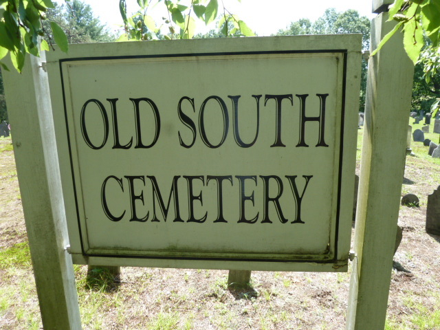
Old South Cemetery is located at East Taylor Hill Road Montague, Franklin County ,Massachusetts ,USA.
-
Old South Cemetery cemetery's updated grave count on graveviews.com?
63 memorials
-
Where are the coordinates of the Old South Cemetery?
Latitude: 42.5232500
Longitude: -72.5360300
Nearby Cemetories:
1. Locust Hill Cemetery
Montague, Franklin County, USA
Coordinate: 42.5394700, -72.5363400
2. Elm Grove Cemetery
Montague, Franklin County, USA
Coordinate: 42.5418600, -72.5359000
3. Pine Nook Cemetery
Deerfield, Franklin County, USA
Coordinate: 42.5086300, -72.5661400
4. North Sunderland Cemetery
Sunderland, Franklin County, USA
Coordinate: 42.4972000, -72.5492020
5. Marvell Cemetery
Leverett, Franklin County, USA
Coordinate: 42.5028000, -72.5042038
6. Jackson Hill Cemetery
Leverett, Franklin County, USA
Coordinate: 42.5028000, -72.5028000
7. Mount Hope Cemetery
Leverett, Franklin County, USA
Coordinate: 42.5111008, -72.4906006
8. Mount Toby Cemetery
Leverett, Franklin County, USA
Coordinate: 42.4894810, -72.5174400
9. East Deerfield Cemetery
Deerfield, Franklin County, USA
Coordinate: 42.5555992, -72.5642014
10. Chestnut Hill Cemetery
Montague, Franklin County, USA
Coordinate: 42.5228004, -72.4822006
11. Town Cemetery
Montague, Franklin County, USA
Coordinate: 42.5595000, -72.5070200
12. Laurel Hill Cemetery
Deerfield, Franklin County, USA
Coordinate: 42.5416670, -72.5973020
13. Plain View Cemetery
Leverett, Franklin County, USA
Coordinate: 42.4972100, -72.4751900
14. Ward Cemetery
Deerfield, Franklin County, USA
Coordinate: 42.4806700, -72.5774600
15. Moores Corner Cemetery
Leverett, Franklin County, USA
Coordinate: 42.4924200, -72.4730700
16. Highland Cemetery
Montague, Franklin County, USA
Coordinate: 42.5778008, -72.5083008
17. Old Deerfield Burying Ground
Deerfield, Franklin County, USA
Coordinate: 42.5449982, -72.6097031
18. Patrick Cemetery
Leverett, Franklin County, USA
Coordinate: 42.4995800, -72.4619500
19. Aaron Clark Memorial Cemetery
Montague, Franklin County, USA
Coordinate: 42.5836200, -72.5471600
20. Gardner Cemetery
Leverett, Franklin County, USA
Coordinate: 42.5036011, -72.4574966
21. East Mineral Road Cemetery
Montague, Franklin County, USA
Coordinate: 42.5810500, -72.5086300
22. Dry Hill Cemetery
Montague, Franklin County, USA
Coordinate: 42.5558300, -72.4647600
23. Our Lady of Czestochowa Cemetery
Montague, Franklin County, USA
Coordinate: 42.5846000, -72.5469400
24. North Cemetery
Leverett, Franklin County, USA
Coordinate: 42.4673720, -72.4983230