
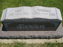
Fred Finch
| Birth | : | 4 Aug 1907 Kelley, Story County, Iowa, USA |
| Death | : | 20 Mar 1972 Kelley, Story County, Iowa, USA |
| Burial | : | Holy Trinity Churchyard, Headington, City of Oxford, England |
| Coordinate | : | 51.7577500, -1.1979980 |
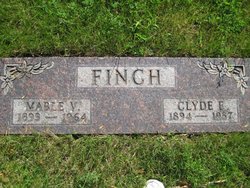
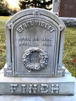
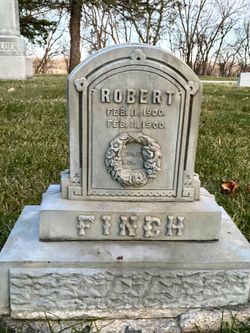
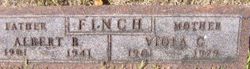
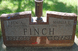
| Description | : | Husband of Florence Phillips. Son of Calvin Benton Finch and Matilda Graham. Brother of Charles, Berniece, Ben, Clyde and John Finch. |
frequently asked questions (FAQ):
-
Where is Fred Finch's memorial?
Fred Finch's memorial is located at: Holy Trinity Churchyard, Headington, City of Oxford, England.
-
When did Fred Finch death?
Fred Finch death on 20 Mar 1972 in Kelley, Story County, Iowa, USA
-
Where are the coordinates of the Fred Finch's memorial?
Latitude: 51.7577500
Longitude: -1.1979980
Family Members:
Parent
Spouse

Siblings

Children
Flowers:


Nearby Cemetories:
1. Holy Trinity Churchyard
Headington, City of Oxford, England
Coordinate: 51.7577500, -1.1979980
2. Cornerstone Church Cemetery
Headington, City of Oxford, England
Coordinate: 51.7587275, -1.1995588
3. The Priory
Headington, City of Oxford, England
Coordinate: 51.7638260, -1.2108100
4. St Andrew Churchyard
Headington, City of Oxford, England
Coordinate: 51.7647100, -1.2121400
5. St. Aldate's Churchyard
Oxford, City of Oxford, England
Coordinate: 51.7497900, -1.2118500
6. Oxford Crematorium
Headington, City of Oxford, England
Coordinate: 51.7719240, -1.1904020
7. Headington Cemetery
Headington, City of Oxford, England
Coordinate: 51.7668050, -1.2179280
8. St. Giles' Churchyard
Horspath, South Oxfordshire District, England
Coordinate: 51.7397190, -1.1738770
9. St Mary and St John Church
Oxford, City of Oxford, England
Coordinate: 51.7452501, -1.2314021
10. St. Clements Churchyard
Oxford, City of Oxford, England
Coordinate: 51.7527790, -1.2369920
11. St. Nicholas' Church
Forest Hill, South Oxfordshire District, England
Coordinate: 51.7641400, -1.1567200
12. Forest Hill Church Cemetery
Forest Hill, South Oxfordshire District, England
Coordinate: 51.7641700, -1.1567100
13. St Ignatius’ Chapel
Oxford, City of Oxford, England
Coordinate: 51.7503160, -1.2396720
14. Elsfield Road Cemetery
Old Marston, City of Oxford, England
Coordinate: 51.7752940, -1.2332640
15. Greyfriars
Oxford, City of Oxford, England
Coordinate: 51.7437920, -1.2401460
16. St. James Churchyard
Cowley, City of Oxford, England
Coordinate: 51.7305878, -1.2202638
17. St. Nicholas Churchyard
Old Marston, City of Oxford, England
Coordinate: 51.7761340, -1.2373130
18. Saint John the Baptist
Stanton St John, South Oxfordshire District, England
Coordinate: 51.7800350, -1.1642830
19. St Thomas of Canterbury Churchyard
Elsfield, South Oxfordshire District, England
Coordinate: 51.7858680, -1.2178310
20. Rose Hill Cemetery
Oxford, City of Oxford, England
Coordinate: 51.7320960, -1.2254070
21. Magdalen College Chapel
Oxford, City of Oxford, England
Coordinate: 51.7519830, -1.2469820
22. Saint Cross Church
Oxford, City of Oxford, England
Coordinate: 51.7561880, -1.2479120
23. St. Cross Churchyard
Holywell, City of Oxford, England
Coordinate: 51.7558380, -1.2479690
24. St Peter-in-the-East Churchyard
Oxford, City of Oxford, England
Coordinate: 51.7536111, -1.2500000