
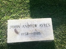
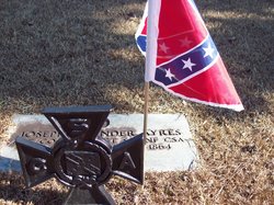
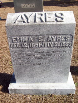
John Andrew Ayres
| Birth | : | 25 Mar 1854 |
| Death | : | 13 Jan 1931 Hillsboro Acres, Williamson County, Tennessee, USA |
| Burial | : | St Martin Churchyard, Seamer, Scarborough Borough, England |
| Coordinate | : | 54.2361500, -0.4437100 |
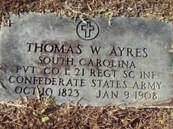
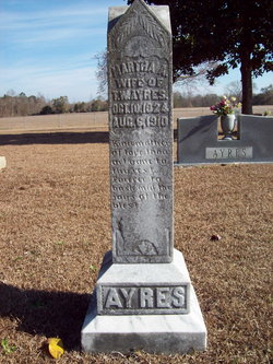
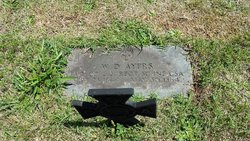
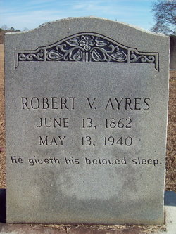
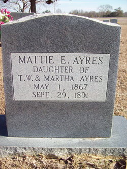
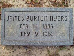
| Description | : | One source gives his name as John D. Ayers, another John Andrew. He was a son of Thomas W. Ayres (1823-1908) and his wife Martha J. Williamson (1823-1910). He married Susan Page, a daughter of Timothy Page, and had "a house full of children" by one account. After Susan died a month before her 56th birthday, John married Hattie Walters Floyd and had one daughter, Donna. |
frequently asked questions (FAQ):
-
Where is John Andrew Ayres's memorial?
John Andrew Ayres's memorial is located at: St Martin Churchyard, Seamer, Scarborough Borough, England.
-
When did John Andrew Ayres death?
John Andrew Ayres death on 13 Jan 1931 in Hillsboro Acres, Williamson County, Tennessee, USA
-
Where are the coordinates of the John Andrew Ayres's memorial?
Latitude: 54.2361500
Longitude: -0.4437100
Family Members:
Parent

Siblings
Children
Flowers:


Nearby Cemetories:
1. St Martin Churchyard
Seamer, Scarborough Borough, England
Coordinate: 54.2361500, -0.4437100
2. St. John the Baptist Churchyard
East Ayton, Scarborough Borough, England
Coordinate: 54.2508900, -0.4792900
3. St. John the Baptist Churchyard
Cayton, Scarborough Borough, England
Coordinate: 54.2346470, -0.3805180
4. St Matthew Churchyard
Hutton Buscel, Scarborough Borough, England
Coordinate: 54.2426410, -0.5071200
5. St. Peter's Churchyard
Willerby, Ryedale District, England
Coordinate: 54.1984200, -0.4558500
6. Cayton Cemetery
Cayton, Scarborough Borough, England
Coordinate: 54.2314030, -0.3755910
7. Woodlands Cemetery and Crematorium
Scarborough, Scarborough Borough, England
Coordinate: 54.2766640, -0.4428030
8. St. Helen’s & All Saints Churchyard
Wykeham, Scarborough Borough, England
Coordinate: 54.2372000, -0.5212000
9. Flixton Cemetery New
Folkton, Scarborough Borough, England
Coordinate: 54.2006600, -0.3934700
10. St John The Evangelist Churchyard
Folkton, Scarborough Borough, England
Coordinate: 54.2020400, -0.3865200
11. Dean Road and Manor Road Cemetery
Scarborough, Scarborough Borough, England
Coordinate: 54.2843690, -0.4184140
12. Quaker House Church
Scarborough Borough, England
Coordinate: 54.2844280, -0.3941730
13. Greyfriars Abbey
Scarborough, Scarborough Borough, England
Coordinate: 54.2850360, -0.3950300
14. St Nicholas Churchyard
Ganton, Ryedale District, England
Coordinate: 54.1846000, -0.4846000
15. St. Mary's Churchyard
Scarborough, Scarborough Borough, England
Coordinate: 54.2864850, -0.3936260
16. Scarborough Castle
Scarborough, Scarborough Borough, England
Coordinate: 54.2875810, -0.3895485
17. St Laurence Churchyard
Scalby, Scarborough Borough, England
Coordinate: 54.2988160, -0.4507520
18. All Saints Church Cemetery
Brompton-by-Sawdon, Scarborough Borough, England
Coordinate: 54.2223100, -0.5500900
19. All Saints Churchyard
Brompton-by-Sawdon, Scarborough Borough, England
Coordinate: 54.2262550, -0.5549320
20. St. Hilda Churchyard
Sherburn, Ryedale District, England
Coordinate: 54.1837400, -0.5311200
21. St Peter Churchyard
Hackness, Scarborough Borough, England
Coordinate: 54.3012880, -0.5127850
22. Fordon Churchyard
East Riding of Yorkshire Unitary Authority, England
Coordinate: 54.1610140, -0.3939100
23. All Saints Churchyard
Muston, Scarborough Borough, England
Coordinate: 54.2011600, -0.3187500
24. St Stephen Churchyard
Snainton, Scarborough Borough, England
Coordinate: 54.2286490, -0.5913720