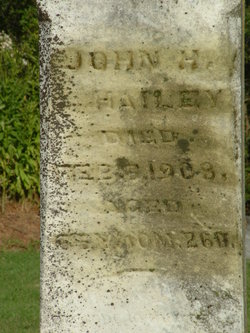
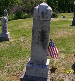
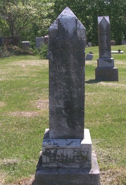
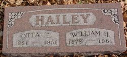
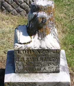
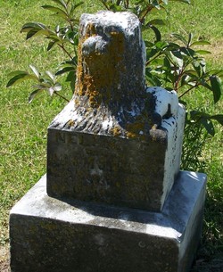
John Henry Hailey
| Birth | : | 10 Mar 1842 Springfield, Sangamon County, Illinois, USA |
| Death | : | 5 Feb 1908 Iowa, USA |
| Burial | : | Danville Cemetery, Ferry County, USA |
| Coordinate | : | 48.9885640, -118.5151702 |
| Plot | : | 04-05 |
| Description | : | Died at Afton Jct., Iowa. Service; E. 58th Ill.Inf., and B 11th MO. Inf. He married Mary Jane Matthews on 22 December 1865 in Sangamon, IL. Their children were William H. Hailey[married Stella Shields], Lorenzo J. Hailey, Henry Erman Hailey[married Etta B. Shields] and Nellie Emeline Hailey. He died age 65 years 10 months and 26 days. |
frequently asked questions (FAQ):
-
Where is John Henry Hailey's memorial?
John Henry Hailey's memorial is located at: Danville Cemetery, Ferry County, USA.
-
When did John Henry Hailey death?
John Henry Hailey death on 5 Feb 1908 in Iowa, USA
-
Where are the coordinates of the John Henry Hailey's memorial?
Latitude: 48.9885640
Longitude: -118.5151702
Family Members:
Spouse
Children
Flowers:
Nearby Cemetories:
1. Danville Cemetery
Ferry County, USA
Coordinate: 48.9885640, -118.5151702
2. USCC Sion Cemetery
Grand Forks, Kootenay Boundary Regional District, Canada
Coordinate: 49.0159500, -118.4964300
3. Evergreen Cemetery
Grand Forks, Kootenay Boundary Regional District, Canada
Coordinate: 49.0243650, -118.4520650
4. Outlook Khristovoye Doukhobor Cemetery
Grand Forks, Kootenay Boundary Regional District, Canada
Coordinate: 49.0402930, -118.4835600
5. Curlew Indian Cemetery
Curlew, Ferry County, USA
Coordinate: 48.8811145, -118.6002982
6. Merritt Pioneer Grave
Curlew, Ferry County, USA
Coordinate: 48.8745300, -118.6020000
7. Curlew City Cemetery
Curlew, Ferry County, USA
Coordinate: 48.8734163, -118.6010599
8. Gilpin Cemetery # 1
Gilpin, Kootenay Boundary Regional District, Canada
Coordinate: 49.0090920, -118.3181980
9. Phoenix Cemetery
Greenwood, Kootenay Boundary Regional District, Canada
Coordinate: 49.1019000, -118.6285500
10. Gilpin Cemetery # 2
Gilpin, Kootenay Boundary Regional District, Canada
Coordinate: 49.0084500, -118.3073490
11. Village of Midway Cemetery
Midway, Kootenay Boundary Regional District, Canada
Coordinate: 49.0082520, -118.7609490
12. Ranald McDonald Cemetery
Toroda, Ferry County, USA
Coordinate: 48.9472094, -118.7617135
13. Somday Family Cemetery
Malo, Ferry County, USA
Coordinate: 48.8290000, -118.5990000
14. Greenwood Cemetery
Greenwood, Kootenay Boundary Regional District, Canada
Coordinate: 49.1250200, -118.6836000
15. Eagle Cliff Cemetery
Toroda, Ferry County, USA
Coordinate: 48.9404375, -118.7946296
16. Cascade Cemetery
Cascade, Kootenay Boundary Regional District, Canada
Coordinate: 49.0188990, -118.2247300
17. Laurier Cemetery
Ferry County, USA
Coordinate: 48.9855500, -118.2189000
18. Orient Cemetery
Orient, Ferry County, USA
Coordinate: 48.8578987, -118.2032013
19. Kelly Hill Cemetery
Stevens County, USA
Coordinate: 48.8130989, -118.1268997
20. Pia Mission Cemetery
Stevens County, USA
Coordinate: 48.7960700, -118.1097300
21. Thorp Cemetery
Chesaw, Okanogan County, USA
Coordinate: 48.9549900, -119.0316700
22. Chesaw Cemetery
Okanogan County, USA
Coordinate: 48.9299900, -119.0541800
23. Republic Cemetery
Republic, Ferry County, USA
Coordinate: 48.6555363, -118.7218022
24. Thomason Ranch Graves
Okanogan County, USA
Coordinate: 48.7757200, -118.9821900

