
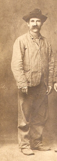

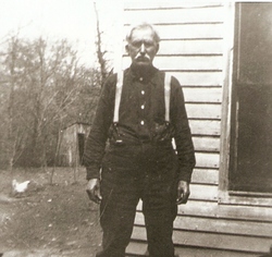
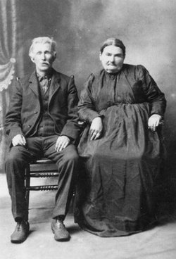
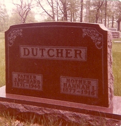
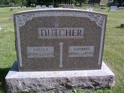
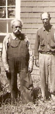
John Richard Dutcher
| Birth | : | 9 Apr 1871 Webster County, Iowa, USA |
| Death | : | 26 May 1940 Dayton, Webster County, Iowa, USA |
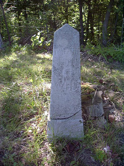
| Burial | : | New Hope Cemetery, Liberty, Clay County, USA |
| Coordinate | : | 39.2392006, -94.4255981 |
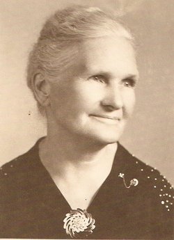
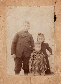
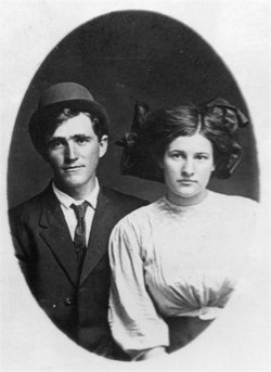
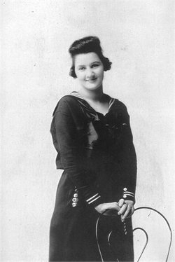
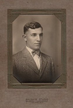
| Description | : | He married Hannah I. O'dell 6 Sep 1891. They had five children, including William A. and Leslie Allen Dutcher. |
frequently asked questions (FAQ):
-
Where is John Richard Dutcher's memorial?
John Richard Dutcher's memorial is located at: New Hope Cemetery, Liberty, Clay County, USA.
-
When did John Richard Dutcher death?
John Richard Dutcher death on 26 May 1940 in Dayton, Webster County, Iowa, USA
-
Where are the coordinates of the John Richard Dutcher's memorial?
Latitude: 39.2392006
Longitude: -94.4255981
Family Members:
Parent
Spouse
Siblings
Children

Flowers:


Nearby Cemetories:
1. New Hope Cemetery
Liberty, Clay County, USA
Coordinate: 39.2392006, -94.4255981
2. Fairview Cemetery
Liberty, Clay County, USA
Coordinate: 39.2428017, -94.4238968
3. George Wymore Gravesite
Clay County, USA
Coordinate: 39.2471100, -94.4191200
4. Second Baptist Church Cemetery
Liberty, Clay County, USA
Coordinate: 39.2465860, -94.4172780
5. Mount Memorial Cemetery
Liberty, Clay County, USA
Coordinate: 39.2489014, -94.4123383
6. Odd Fellows Cemetery
Liberty, Clay County, USA
Coordinate: 39.2294500, -94.4056100
7. Baker Cemetery
Liberty, Clay County, USA
Coordinate: 39.2678700, -94.4171600
8. Adkins Family Cemetery
Liberty, Callaway County, USA
Coordinate: 39.2206840, -94.4579870
9. Adkins Family Cemetery
Liberty, Clay County, USA
Coordinate: 39.2206840, -94.4579870
10. McQuiddy Cemetery
Kansas City, Clay County, USA
Coordinate: 39.2504437, -94.4658178
11. Arthur Cemetery
Liberty, Clay County, USA
Coordinate: 39.2083527, -94.4501364
12. Lincoln Cemetery
Liberty, Clay County, USA
Coordinate: 39.2788600, -94.4198900
13. Davidson Cemetery
Kansas City, Clay County, USA
Coordinate: 39.2332993, -94.4794006
14. Little Shoal Cemetery
Liberty, Clay County, USA
Coordinate: 39.2736015, -94.4646988
15. Glenridge Cemetery
Liberty, Clay County, USA
Coordinate: 39.2775002, -94.3927994
16. Keller Cemetery
Clay County, USA
Coordinate: 39.2415200, -94.3627900
17. Pence Cemetery
Pleasant Valley, Clay County, USA
Coordinate: 39.2308006, -94.4899979
18. Weber-Irminger Cemetery
Liberty, Clay County, USA
Coordinate: 39.2266400, -94.3573900
19. Pickett Cemetery
Liberty, Clay County, USA
Coordinate: 39.2963982, -94.4285965
20. Nebo Cemetery
South Liberty, Clay County, USA
Coordinate: 39.2160072, -94.3571701
21. Robertson Cemetery
Clay County, USA
Coordinate: 39.2952995, -94.3964005
22. McQuiddy Family Cemetery
Liberty, Clay County, USA
Coordinate: 39.2639000, -94.3519000
23. Chandler Church Cemetery
Chandler, Clay County, USA
Coordinate: 39.2986412, -94.3818207
24. Wade Cemetery
Liberty, Clay County, USA
Coordinate: 39.3106900, -94.4002850