
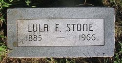
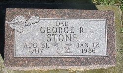
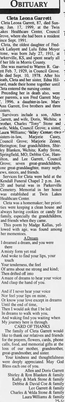
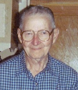
Lula Bell Edna Moyer Stone
| Birth | : | 16 Apr 1885 Kansas, USA |
| Death | : | 15 May 1966 Council Grove, Morris County, Kansas, USA |
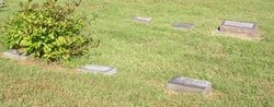
| Burial | : | Alcola Trinity Cemetery, Alcola, Clarion County, USA |
| Coordinate | : | 41.0126419, -79.2946396 |
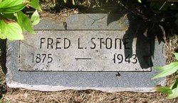
| Description | : | Daughter of Mary J. and Abraham Moyer. Married to Frederick Lafayette Stone on 15 Jun 1901. Info thanks to FAG member 46821009 |
frequently asked questions (FAQ):
-
Where is Lula Bell Edna Moyer Stone's memorial?
Lula Bell Edna Moyer Stone's memorial is located at: Alcola Trinity Cemetery, Alcola, Clarion County, USA.
-
When did Lula Bell Edna Moyer Stone death?
Lula Bell Edna Moyer Stone death on 15 May 1966 in Council Grove, Morris County, Kansas, USA
-
Where are the coordinates of the Lula Bell Edna Moyer Stone's memorial?
Latitude: 41.0126419
Longitude: -79.2946396
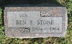
Family Members:
Spouse
Children

Flowers:


Nearby Cemetories:
1. Alcola Trinity Cemetery
Alcola, Clarion County, USA
Coordinate: 41.0126419, -79.2946396
2. Middle Run Cemetery
Alcola, Clarion County, USA
Coordinate: 41.0202100, -79.3104600
3. Hawthorn Cemetery
Hawthorn, Clarion County, USA
Coordinate: 41.0225868, -79.2781982
4. Emmanuel Evangelical Lutheran Cemetery
Redbank Township, Armstrong County, USA
Coordinate: 41.0177850, -79.2715500
5. Mount Zion Cemetery
Oak Ridge, Armstrong County, USA
Coordinate: 40.9951553, -79.3060226
6. New Bethlehem Cemetery
New Bethlehem, Clarion County, USA
Coordinate: 41.0079000, -79.3340000
7. Saint Charles Cemetery
New Bethlehem, Clarion County, USA
Coordinate: 41.0036000, -79.3395000
8. Mudlic Cemetery
Charlestown, Armstrong County, USA
Coordinate: 40.9798490, -79.2758420
9. New Salem Cemetery
Armstrong County, USA
Coordinate: 40.9887733, -79.2424927
10. Oakland Cemetery
Distant, Armstrong County, USA
Coordinate: 40.9712296, -79.3455124
11. Smullin Cemetery
Distant, Armstrong County, USA
Coordinate: 40.9626000, -79.3346000
12. Frazier Cemetery
Mayport, Clarion County, USA
Coordinate: 41.0720000, -79.2810000
13. Living Church Cemetery
Shannondale, Clarion County, USA
Coordinate: 41.0621290, -79.2490830
14. Trinity Reformed Cemetery
Redbank Township, Armstrong County, USA
Coordinate: 41.0224700, -79.2152300
15. Mount Tabor Cemetery
Mount Tabor, Armstrong County, USA
Coordinate: 40.9866390, -79.2178760
16. North Freedom United Methodist Church Cemetery
North Freedom, Jefferson County, USA
Coordinate: 41.0229073, -79.2080383
17. Leatherwood Cemetery
Leatherwood, Clarion County, USA
Coordinate: 41.0623000, -79.3534000
18. Putneyville Cemetery
Putneyville, Armstrong County, USA
Coordinate: 40.9426370, -79.3132420
19. Saint Mark's Lutheran Church Cemetery
Eddyville, Armstrong County, USA
Coordinate: 40.9414139, -79.2808609
20. Paradise Cemetery
Shannondale, Clarion County, USA
Coordinate: 41.0842018, -79.2577972
21. Narrows Cemetery
Mahoning, Armstrong County, USA
Coordinate: 40.9699000, -79.3839000
22. Timblin United Methodist Cemetery
Timblin, Jefferson County, USA
Coordinate: 40.9665620, -79.2057910
23. New Bethlehem Mennonite Church Cemetery
Leatherwood, Clarion County, USA
Coordinate: 41.0698000, -79.3725000
24. Shannondale Union Cemetery
Shannondale, Clarion County, USA
Coordinate: 41.0827000, -79.2348000