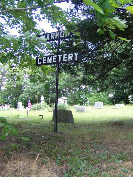
| Memorials | : | 1 |
| Location | : | Mahoning, Armstrong County, USA |
| Coordinate | : | 40.9699000, -79.3839000 |
| Description | : | Located at the corner of Kellersburg Road and Hetrick Road between Distant and Climax, Pennsylvania. |
frequently asked questions (FAQ):
-
Where is Narrows Cemetery?
Narrows Cemetery is located at Hetrick Road Mahoning, Armstrong County ,Pennsylvania ,USA.
-
Narrows Cemetery cemetery's updated grave count on graveviews.com?
1 memorials
-
Where are the coordinates of the Narrows Cemetery?
Latitude: 40.9699000
Longitude: -79.3839000
Nearby Cemetories:
1. Deanville Cemetery
Deanville, Armstrong County, USA
Coordinate: 40.9517700, -79.3919170
2. Oakland Cemetery
Distant, Armstrong County, USA
Coordinate: 40.9712296, -79.3455124
3. Kellersburg Lutheran Cemetery
Kellersburg, Armstrong County, USA
Coordinate: 40.9704000, -79.4244000
4. Kellersburg Methodist Cemetery
Kellersburg, Armstrong County, USA
Coordinate: 40.9752000, -79.4240000
5. Colwell Cemetery
Armstrong County, USA
Coordinate: 40.9394520, -79.3633680
6. Smullin Cemetery
Distant, Armstrong County, USA
Coordinate: 40.9626000, -79.3346000
7. Saint Charles Cemetery
New Bethlehem, Clarion County, USA
Coordinate: 41.0036000, -79.3395000
8. New Bethlehem Cemetery
New Bethlehem, Clarion County, USA
Coordinate: 41.0079000, -79.3340000
9. Jerusalem Lutheran Cemetery
Wayne Township, Armstrong County, USA
Coordinate: 40.9197006, -79.3566971
10. Stewardson Furnace Cemetery
Armstrong County, USA
Coordinate: 40.9331510, -79.4421280
11. Herman Cemetery
Porter Township, Clarion County, USA
Coordinate: 41.0269000, -79.4059000
12. Putneyville Cemetery
Putneyville, Armstrong County, USA
Coordinate: 40.9426370, -79.3132420
13. Mount Zion Cemetery
Oak Ridge, Armstrong County, USA
Coordinate: 40.9951553, -79.3060226
14. Oak Grove Cemetery
Porter Township, Clarion County, USA
Coordinate: 41.0270000, -79.4300000
15. Duncan Cemetery
Armstrong County, USA
Coordinate: 40.9884750, -79.4727370
16. Squirrel Hill Cemetery
New Bethlehem, Clarion County, USA
Coordinate: 41.0401000, -79.4128000
17. Bell Town Road Cemetery
Templeton, Armstrong County, USA
Coordinate: 40.9243110, -79.4624050
18. Middle Run Cemetery
Alcola, Clarion County, USA
Coordinate: 41.0202100, -79.3104600
19. Walthour Cemetery
Reesedale, Armstrong County, USA
Coordinate: 40.9379000, -79.4756000
20. Milliron Family Cemetery
Putneyville, Armstrong County, USA
Coordinate: 40.9268490, -79.2997460
21. Toy Cemetery
Reesedale, Armstrong County, USA
Coordinate: 40.9297750, -79.4706770
22. Rehobeth Reformed Presbyterian Church Cemetery
Kittanning, Armstrong County, USA
Coordinate: 40.8922670, -79.3695690
23. Alcola Trinity Cemetery
Alcola, Clarion County, USA
Coordinate: 41.0126419, -79.2946396
24. McCreas Furnace Cemetery
McCrea Furnace, Armstrong County, USA
Coordinate: 40.9242060, -79.2952070

