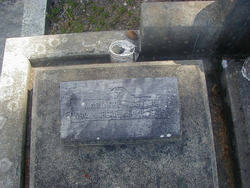
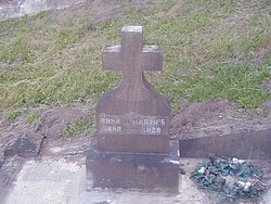
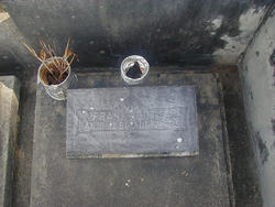
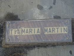
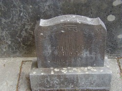
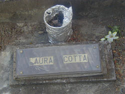
Marianna Martin Cotta
| Birth | : | 2 Nov 1894 Azores Region, Portugal |
| Death | : | 8 Nov 1946 Humboldt County, California, USA |
| Burial | : | St. Mary's Churchyard, Portchester, Fareham Borough, England |
| Coordinate | : | 50.8366280, -1.1134270 |
| Description | : | Mrs. Marianna Cotta of Ferndale died this morning in a local hospital following a brief illness. She was a native of the Azores Islands, and had been a resident of Ferndale for 33 years . Surviving her is her husband Frank Cotta of Ferndale; two daughters and one son, Mrs. Antone Luis of Ferndale, Mrs. Eugene Giacomini of Alton and Frank Cotta, Jr. of San Francisco; two brothers and three sisters, John and Joaquin Martin, Mrs. Manuel Cardoza and Maria Martin of Ferndale and Mrs. Joaquin Medina of Orland, California. Six grandchildren also survive her. ... Read More |
frequently asked questions (FAQ):
-
Where is Marianna Martin Cotta's memorial?
Marianna Martin Cotta's memorial is located at: St. Mary's Churchyard, Portchester, Fareham Borough, England.
-
When did Marianna Martin Cotta death?
Marianna Martin Cotta death on 8 Nov 1946 in Humboldt County, California, USA
-
Where are the coordinates of the Marianna Martin Cotta's memorial?
Latitude: 50.8366280
Longitude: -1.1134270
Family Members:
Parent
Spouse
Siblings
Children
Flowers:
Nearby Cemetories:
1. St. Mary's Churchyard
Portchester, Fareham Borough, England
Coordinate: 50.8366280, -1.1134270
2. Roman Grove Cemetery
Portchester, Fareham Borough, England
Coordinate: 50.8384600, -1.1206200
3. Portchester Crematorium Gardens
Portchester, Fareham Borough, England
Coordinate: 50.8499680, -1.1382190
4. St Peter and St Paul Churchyard
Wymering, Portsmouth Unitary Authority, England
Coordinate: 50.8457490, -1.0777170
5. Mile End Cemetery
Portsea, Portsmouth Unitary Authority, England
Coordinate: 50.8108900, -1.0876400
6. St Thomas the Apostle Churchyard
Gosport, Gosport Borough, England
Coordinate: 50.8137570, -1.1484570
7. HMS Victory Ship
Portsmouth, Portsmouth Unitary Authority, England
Coordinate: 50.8017290, -1.1095590
8. St. James' Churchyard
Southwick, City of Winchester, England
Coordinate: 50.8739800, -1.1113800
9. HMS Victoria Monument
Portsmouth, Portsmouth Unitary Authority, England
Coordinate: 50.7997200, -1.0950800
10. St. Nicholas' Churchyard
Boarhunt, City of Winchester, England
Coordinate: 50.8709800, -1.1442000
11. St Mary Magdalene Churchyard
Widley, City of Winchester, England
Coordinate: 50.8623650, -1.0642640
12. St. Mary's Churchyard
Portsea, Portsmouth Unitary Authority, England
Coordinate: 50.8035350, -1.0763490
13. St John the Evangelist Churchyard
Gosport, Gosport Borough, England
Coordinate: 50.7995600, -1.1397800
14. St. Peter and St. Paul Churchyard
Fareham, Fareham Borough, England
Coordinate: 50.8556300, -1.1753200
15. Christ Church Portsdown Churchyard
Widley, City of Winchester, England
Coordinate: 50.8547300, -1.0507540
16. Holy Trinity Churchyard
Gosport, Gosport Borough, England
Coordinate: 50.7930600, -1.1207620
17. Kingston Cemetery
Portsmouth, Portsmouth Unitary Authority, England
Coordinate: 50.8031440, -1.0683260
18. St Mary the Virgin Churchyard
Gosport, Gosport Borough, England
Coordinate: 50.8112690, -1.1724800
19. Portsmouth Unitarian Church
Portsmouth, Portsmouth Unitary Authority, England
Coordinate: 50.7915640, -1.1011840
20. Ann's Hill Cemetery
Gosport, Gosport Borough, England
Coordinate: 50.7982670, -1.1549450
21. Portsmouth Cathedral Churchyard
Portsmouth, Portsmouth Unitary Authority, England
Coordinate: 50.7904650, -1.1043720
22. Holy Trinity Churchyard
Fareham, Fareham Borough, England
Coordinate: 50.8522480, -1.1834370
23. Royal Garrison Churchyard
Portsmouth, Portsmouth Unitary Authority, England
Coordinate: 50.7890180, -1.1040520
24. Royal Garrison Church Churchyard
Plymouth, Plymouth Unitary Authority, England
Coordinate: 50.7889690, -1.1039650

