
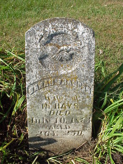
| Birth | : | 5 Feb 1837 Ray County, Missouri, USA |
| Death | : | 1852 Ray County, Missouri, USA |
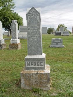
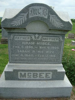
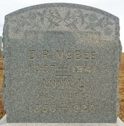
| Burial | : | Old New Hope Cemetery, Millville, Ray County, USA |
| Coordinate | : | 39.4327200, -93.8435900 |
| Description | : | From the McBee book Rachel McBee, born 5 February 1837, died 1852 of Typhoid Fever. Buried Keel Cemetery, 1/2 mile east and 1/2 mile north of Liberty School House in Ray County, Missouri, near Millville. This description does not match the location of the Keel - Young Cemetery west of Hwy 13 in Township 53, Range 27, Section 32 The Old New Hope may have been what they were calling the Keel cemetery at that time |
frequently asked questions (FAQ):
-
Where is Rachel McBee's memorial?
Rachel McBee's memorial is located at: Old New Hope Cemetery, Millville, Ray County, USA.
-
When did Rachel McBee death?
Rachel McBee death on 1852 in Ray County, Missouri, USA
-
Where are the coordinates of the Rachel McBee's memorial?
Latitude: 39.4327200
Longitude: -93.8435900
Family Members:
Parent
Siblings
Flowers:


Nearby Cemetories:
1. Old New Hope Cemetery
Millville, Ray County, USA
Coordinate: 39.4327200, -93.8435900
2. New Hope United Methodist Church Cemetery
Millville, Ray County, USA
Coordinate: 39.4236259, -93.8416061
3. McCuistion Cemetery
Richmond, Ray County, USA
Coordinate: 39.4387300, -93.8550900
4. Silas Keith Cemetery
Regal, Ray County, USA
Coordinate: 39.4387800, -93.8262100
5. Mansur Cemetery
Grape Grove Township, Ray County, USA
Coordinate: 39.4230003, -93.8804016
6. Carleton Cemetery
Ray County, USA
Coordinate: 39.4014200, -93.8712700
7. Smith Cemetery
Ray County, USA
Coordinate: 39.4028015, -93.8799973
8. Nuckles Cemetery
Richmond, Ray County, USA
Coordinate: 39.4143700, -93.8950300
9. Berry Cemetery
Hardin, Ray County, USA
Coordinate: 39.3913800, -93.8710800
10. Bethany Church Cemetery
Stet, Ray County, USA
Coordinate: 39.4230995, -93.7838974
11. Felix Wild Cemetery
Ray County, USA
Coordinate: 39.4398200, -93.9110700
12. Antioch Cemetery
Millville, Ray County, USA
Coordinate: 39.4563040, -93.9077420
13. Van Wall Cemetery
Grape Grove Township, Ray County, USA
Coordinate: 39.4513800, -93.9116700
14. Woolard Cemetery
Hardin, Ray County, USA
Coordinate: 39.3769300, -93.8351500
15. Moyer Cemetery
Ray County, USA
Coordinate: 39.4244100, -93.9224100
16. Graff Cemetery
Grape Grove Township, Ray County, USA
Coordinate: 39.4909286, -93.8144836
17. Little Union Cemetery
Stet, Ray County, USA
Coordinate: 39.4972343, -93.8660507
18. Basham Cemetery
Ray County, USA
Coordinate: 39.4963400, -93.8810700
19. Elder Cemetery
Grape Grove Township, Ray County, USA
Coordinate: 39.5015259, -93.8108826
20. Millville Community Cemetery
Millville, Ray County, USA
Coordinate: 39.4041100, -93.9351600
21. Bethel Mennonite Church Cemetery
Richmond, Ray County, USA
Coordinate: 39.3936900, -93.9330400
22. Tinney Grove Cemetery
Tinney Grove, Ray County, USA
Coordinate: 39.5066280, -93.8050000
23. Mount Olivet Cemetery
Stet, Carroll County, USA
Coordinate: 39.4366000, -93.7403000
24. Wakenda Cemetery
Hardin, Ray County, USA
Coordinate: 39.3519300, -93.8456900