
| Memorials | : | 1 |
| Location | : | Hardin, Ray County, USA |
| Coordinate | : | 39.3769300, -93.8351500 |
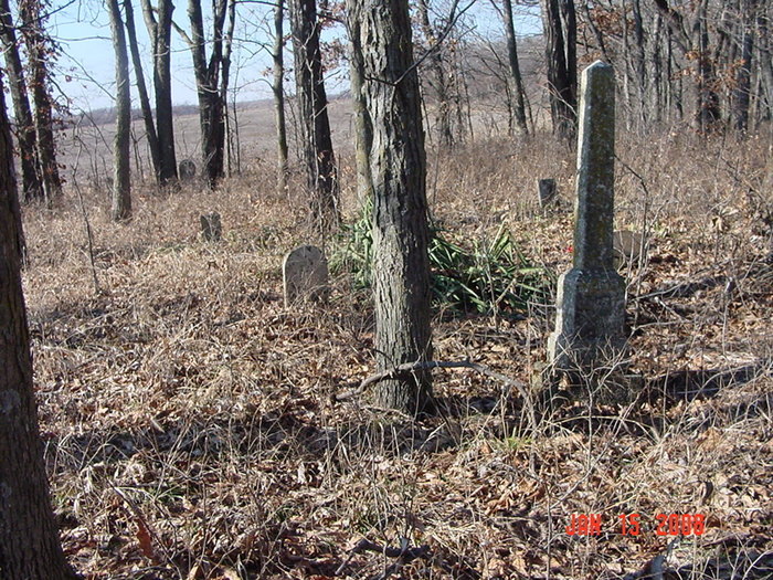
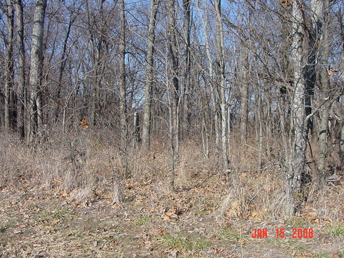
| Description | : | Cemeteries of Grape Grove Township: from intersection of county road 146 and 148 go north on county road 146 0.6 miles to jog in road; continue east in field along timber about 1/2 mile; private property; small abandoned cemetery has very little care Ray County Library (big black cemetery binder): located on Clara Allison farm 1 mile west of B Highway and 8 miles north of Hardin, Missouri, on B Highway [not confirmed] Prichard Cemetery: #11 on 1973 Ray County History map p. 230 DAR Index: "Wollard" Cemetery aka Prichard Cemetery located in Grape Grove Twp. From 155th Street north on Wakenda... Read More |
frequently asked questions (FAQ):
-
Where is Woolard Cemetery?
Woolard Cemetery is located at Hardin, Ray County ,Missouri ,USA.
-
Woolard Cemetery cemetery's updated grave count on graveviews.com?
1 memorials
-
Where are the coordinates of the Woolard Cemetery?
Latitude: 39.3769300
Longitude: -93.8351500
Nearby Cemetories:
1. Wakenda Cemetery
Hardin, Ray County, USA
Coordinate: 39.3519300, -93.8456900
2. Berry Cemetery
Hardin, Ray County, USA
Coordinate: 39.3913800, -93.8710800
3. Meinking-Wilson Cemetery
Ray County, USA
Coordinate: 39.3576200, -93.7995600
4. Carleton Cemetery
Ray County, USA
Coordinate: 39.4014200, -93.8712700
5. Clark Cemetery
Hardin, Ray County, USA
Coordinate: 39.3499985, -93.7956009
6. Smith Cemetery
Ray County, USA
Coordinate: 39.4028015, -93.8799973
7. New Hope United Methodist Church Cemetery
Millville, Ray County, USA
Coordinate: 39.4236259, -93.8416061
8. Bohannon Cemetery
Hardin, Ray County, USA
Coordinate: 39.3291600, -93.8580600
9. Old New Hope Cemetery
Millville, Ray County, USA
Coordinate: 39.4327200, -93.8435900
10. Mansur Cemetery
Grape Grove Township, Ray County, USA
Coordinate: 39.4230003, -93.8804016
11. Nuckles Cemetery
Richmond, Ray County, USA
Coordinate: 39.4143700, -93.8950300
12. Bethany Church Cemetery
Stet, Ray County, USA
Coordinate: 39.4230995, -93.7838974
13. Silas Keith Cemetery
Regal, Ray County, USA
Coordinate: 39.4387800, -93.8262100
14. McCuistion Cemetery
Richmond, Ray County, USA
Coordinate: 39.4387300, -93.8550900
15. Forester Cemetery
Hardin, Ray County, USA
Coordinate: 39.3125700, -93.8079100
16. Liberty Cemetery
Hardin, Ray County, USA
Coordinate: 39.3331800, -93.7667800
17. Lavelock Cemetery
Hardin, Ray County, USA
Coordinate: 39.3078003, -93.8394012
18. Hickory Grove Cemetery
Richmond, Ray County, USA
Coordinate: 39.3288120, -93.9006293
19. Bethel Mennonite Church Cemetery
Richmond, Ray County, USA
Coordinate: 39.3936900, -93.9330400
20. Pugh Cemetery
Richmond, Ray County, USA
Coordinate: 39.3124800, -93.8968700
21. Oliphant Cemetery
Richmond, Ray County, USA
Coordinate: 39.3573300, -93.9362200
22. Millville Community Cemetery
Millville, Ray County, USA
Coordinate: 39.4041100, -93.9351600
23. Moyer Cemetery
Ray County, USA
Coordinate: 39.4244100, -93.9224100
24. Felix Wild Cemetery
Ray County, USA
Coordinate: 39.4398200, -93.9110700