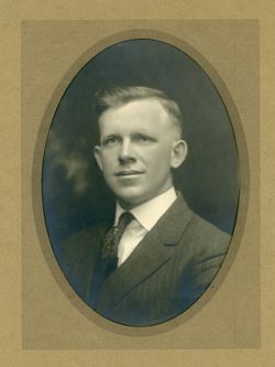
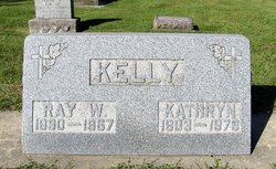
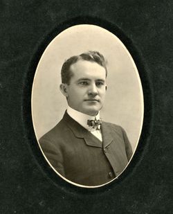
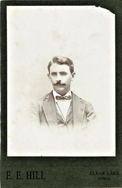
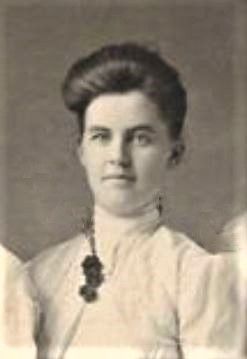
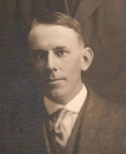
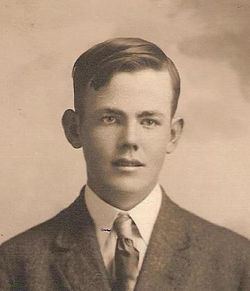
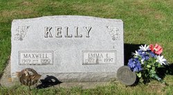
Raymond Walter Kelly
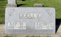
| Birth | : | 12 Oct 1890 Hudson, Black Hawk County, Iowa, USA |
| Death | : | Jul 1967 Waterloo, Black Hawk County, Iowa, USA |
| Burial | : | New Row Methodist Church, Blackburn with Darwen Unitary Authority, England |
| Coordinate | : | 53.7208950, -2.5023720 |
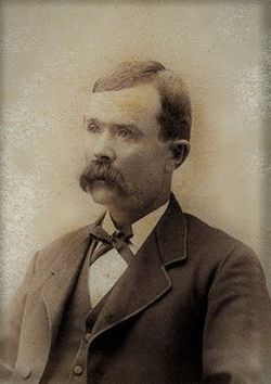
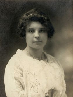
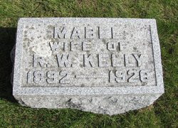
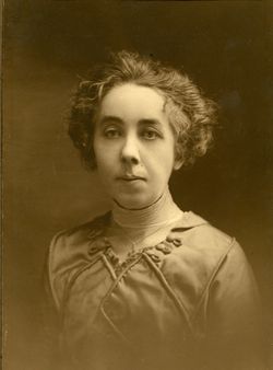
| Description | : | Attended school at Vinton, returned to farm 1910 or 1911: one year at Wichita U, returned to IA (homesick), good at math but possibly dyslexic WWI draft card: 5 Jun 1917, Black Hawk co IA; Raymond Walter Kelly, b. Hudson, IA, 12 Oct 1890; single, farmer, Buckingham, IA; signed R W Kelly 1920 census: Lincoln twshp, Black Hawk co IA, Ray W Kelly (29,IA, Ire,Eng) farmer, Mabel (27,IA, OH,IL), Maxwell (10m,IA); William Nagle (hired man,27,PA, PA,PA) 1925 IA census: Lincoln twshp, Black Hawk co: Ray Kelley (34,IA); fa: Patrick Kelley (87,Ire); mo: Catherine Barry (73,Eng) [email protected] Mabel Kelley (32,IA): fa: John McKenna... Read More |
frequently asked questions (FAQ):
-
Where is Raymond Walter Kelly's memorial?
Raymond Walter Kelly's memorial is located at: New Row Methodist Church, Blackburn with Darwen Unitary Authority, England.
-
When did Raymond Walter Kelly death?
Raymond Walter Kelly death on Jul 1967 in Waterloo, Black Hawk County, Iowa, USA
-
Where are the coordinates of the Raymond Walter Kelly's memorial?
Latitude: 53.7208950
Longitude: -2.5023720
Family Members:
Parent
Spouse
Siblings
Children
Flowers:
Nearby Cemetories:
1. New Row Methodist Church
Blackburn with Darwen Unitary Authority, England
Coordinate: 53.7208950, -2.5023720
2. St Stephen Churchyard
Tockholes, Blackburn with Darwen Unitary Authority, England
Coordinate: 53.7058350, -2.5169320
3. St James Churchyard
Lower Darwen, Blackburn with Darwen Unitary Authority, England
Coordinate: 53.7245510, -2.4634700
4. St. Peter's Churchyard
Blackburn, Blackburn with Darwen Unitary Authority, England
Coordinate: 53.7448110, -2.4865070
5. Independent Chapel Churchyard
Blackburn, Blackburn with Darwen Unitary Authority, England
Coordinate: 53.7454960, -2.4864460
6. Pleasington Cemetery and Crematorium
Blackburn, Blackburn with Darwen Unitary Authority, England
Coordinate: 53.7388880, -2.5368710
7. Wesleyan Methodist Chapel Chapelyard
Blackburn, Blackburn with Darwen Unitary Authority, England
Coordinate: 53.7464910, -2.4848380
8. Pleasington Priory
Pleasington, Blackburn with Darwen Unitary Authority, England
Coordinate: 53.7348590, -2.5433060
9. Blackburn Cathedral
Blackburn, Blackburn with Darwen Unitary Authority, England
Coordinate: 53.7472960, -2.4820020
10. St Paul's
Blackburn, Blackburn with Darwen Unitary Authority, England
Coordinate: 53.7491222, -2.4891266
11. Mount St Presbyterian Chapelyard
Blackburn, Blackburn with Darwen Unitary Authority, England
Coordinate: 53.7478000, -2.4775000
12. St Peters Churchyard
Darwen, Blackburn with Darwen Unitary Authority, England
Coordinate: 53.6955520, -2.4648090
13. Holy Trinity Church
Blackburn with Darwen Unitary Authority, England
Coordinate: 53.7511727, -2.4747178
14. St Alban's Churchyard
Blackburn, Blackburn with Darwen Unitary Authority, England
Coordinate: 53.7530090, -2.4748540
15. St Paul's Churchyard
Withnell, Chorley Borough, England
Coordinate: 53.6970740, -2.5592150
16. St. Paul's Churchyard
Darwen, Blackburn with Darwen Unitary Authority, England
Coordinate: 53.6979270, -2.4318640
17. Blackburn Cemetery
Blackburn, Blackburn with Darwen Unitary Authority, England
Coordinate: 53.7662430, -2.4726050
18. Holy Trinity Churchyard
Hoghton, Chorley Borough, England
Coordinate: 53.7279300, -2.5848550
19. Darwen Cemetery
Darwen, Blackburn with Darwen Unitary Authority, England
Coordinate: 53.6781400, -2.4598300
20. Darwen Eastern Cemetery
Darwen, Blackburn with Darwen Unitary Authority, England
Coordinate: 53.6769300, -2.4547700
21. St. Josephs Roman Catholic Churchyard
Brindle, Chorley Borough, England
Coordinate: 53.7350780, -2.5880640
22. Pickup Bank Congregational Chapel
Pickup Bank, Blackburn with Darwen Unitary Authority, England
Coordinate: 53.7012440, -2.4164220
23. St. Mary's Churchyard
Mellor, Ribble Valley Borough, England
Coordinate: 53.7728600, -2.5312400
24. Mellor Methodist Churchyard
Blackburn, Blackburn with Darwen Unitary Authority, England
Coordinate: 53.7742950, -2.5255060

