
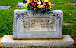
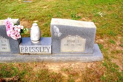
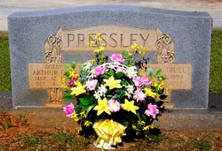
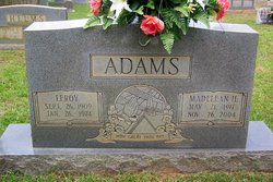
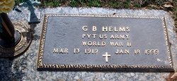
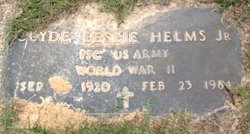
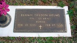
Rena Trull Helms
| Birth | : | 28 Aug 1898 Union County, North Carolina, USA |
| Death | : | 12 May 1965 Monroe, Union County, North Carolina, USA |
| Burial | : | St. Peter & St. Paul's Churchyard, North Curry, Taunton Deane Borough, England |
| Coordinate | : | 51.0258710, -2.9716440 |
frequently asked questions (FAQ):
-
Where is Rena Trull Helms's memorial?
Rena Trull Helms's memorial is located at: St. Peter & St. Paul's Churchyard, North Curry, Taunton Deane Borough, England.
-
When did Rena Trull Helms death?
Rena Trull Helms death on 12 May 1965 in Monroe, Union County, North Carolina, USA
-
Where are the coordinates of the Rena Trull Helms's memorial?
Latitude: 51.0258710
Longitude: -2.9716440
Family Members:
Parent

Spouse

Siblings

Children
Flowers:


Nearby Cemetories:
1. St. Peter & St. Paul's Churchyard
North Curry, Taunton Deane Borough, England
Coordinate: 51.0258710, -2.9716440
2. Methodist Churchyard
North Curry, Taunton Deane Borough, England
Coordinate: 51.0213358, -2.9731175
3. Independent Baptist Churchyard
North Curry, Taunton Deane Borough, England
Coordinate: 51.0189703, -2.9779346
4. The Baptist Chapel
Stoke St Gregory, Taunton Deane Borough, England
Coordinate: 51.0430441, -2.9375476
5. Buckland Priory
Durston, Taunton Deane Borough, England
Coordinate: 51.0476530, -2.9988180
6. Stoke St Gregory
Stoke St Gregory, Taunton Deane Borough, England
Coordinate: 51.0398130, -2.9310570
7. East Lyng St Bartholomew
Lyng, Sedgemoor District, England
Coordinate: 51.0553000, -2.9534000
8. St John the Baptist Churchyard
Durston, Taunton Deane Borough, England
Coordinate: 51.0478800, -3.0128490
9. Holy Cross at Thornfalcon
Taunton, Taunton Deane Borough, England
Coordinate: 51.0100970, -3.0229420
10. St. Martin's Churchyard
Fivehead, South Somerset District, England
Coordinate: 51.0017010, -2.9239810
11. St. Michael's Churchyard
Creech St Michael, Taunton Deane Borough, England
Coordinate: 51.0223660, -3.0355780
12. Athelney Abbey (Defunct)
Athelney, Sedgemoor District, England
Coordinate: 51.0593000, -2.9345800
13. Fivehead Cemetery
Fivehead, South Somerset District, England
Coordinate: 50.9969923, -2.9231360
14. St. John the Baptist Churchyard
Hatch Beauchamp, Taunton Deane Borough, England
Coordinate: 50.9852830, -2.9900880
15. St. Michael's Churchyard
North Newton, Sedgemoor District, England
Coordinate: 51.0650279, -2.9974435
16. All Saints Churchyard
Curry Mallet, South Somerset District, England
Coordinate: 50.9836110, -2.9497220
17. St. James' Churchyard
Beercrocombe, South Somerset District, England
Coordinate: 50.9791730, -2.9619190
18. St. Catherine's Churchyard
Fivehead, South Somerset District, England
Coordinate: 51.0083009, -2.9000973
19. St. George Churchyard
Ruishton, Taunton Deane Borough, England
Coordinate: 51.0206300, -3.0511400
20. Ruishton Church Cemetery
Ruishton, Taunton Deane Borough, England
Coordinate: 51.0204630, -3.0520420
21. St Mary the Virgin Churchyard
Isle Abbotts, South Somerset District, England
Coordinate: 50.9842010, -2.9240160
22. Saint Andrew's Churchyard
West Hatch, Taunton Deane Borough, England
Coordinate: 50.9840980, -3.0195000
23. Baptist Chapel
Isle Abbotts, South Somerset District, England
Coordinate: 50.9820340, -2.9282940
24. Hatch Beauchamp Baptist Churchyard
Hatch Beauchamp, Taunton Deane Borough, England
Coordinate: 50.9765290, -2.9975820