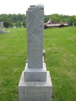
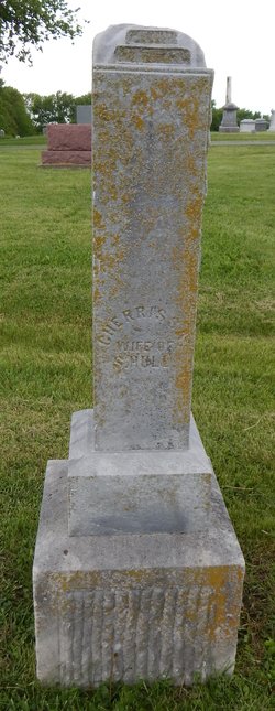
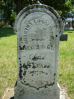
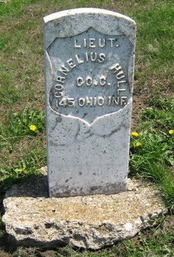
Samuel Hull
| Birth | : | 14 May 1805 Smyth County, Virginia, USA |
| Death | : | 14 Jan 1892 Maryville, Nodaway County, Missouri, USA |
| Burial | : | St Olave Churchyard, York, York Unitary Authority, England |
| Coordinate | : | 53.9622570, -1.0891560 |
| Plot | : | Sec 3, Row 5, n-s |
| Inscription | : | 87 years, 8 months |
| Description | : | He wed first Cherissa Wilcox, Nov. 28, 1827. They had 13 children. Second he married Mary J. Young, April 9, 1876. |
frequently asked questions (FAQ):
-
Where is Samuel Hull's memorial?
Samuel Hull's memorial is located at: St Olave Churchyard, York, York Unitary Authority, England.
-
When did Samuel Hull death?
Samuel Hull death on 14 Jan 1892 in Maryville, Nodaway County, Missouri, USA
-
Where are the coordinates of the Samuel Hull's memorial?
Latitude: 53.9622570
Longitude: -1.0891560
Family Members:
Parent
Spouse
Siblings
Children
Flowers:
Left by Anonymous on 28 May 2012

My 3 Great-Grandfather. May you rest in peace. You were remembered today.
Left by Anonymous on 04 Dec 2012

Honoring your life and memory.
Left by Anonymous on 15 Dec 2013

Thinking of you today.
Left by Anonymous on 28 Dec 2014
3rd great-grandfather
Left by Anonymous on 07 Sep 2017
Left by Anonymous on 13 Jan 2021

Left by Anonymous on 18 Jun 2021
Nearby Cemetories:
1. St Olave Churchyard
York, York Unitary Authority, England
Coordinate: 53.9622570, -1.0891560
2. Abbey of St Mary (defunct)
York, York Unitary Authority, England
Coordinate: 53.9620290, -1.0883600
3. Lendal Congregational Chapel
York, York Unitary Authority, England
Coordinate: 53.9606360, -1.0860970
4. Augustinian Friary, York (Nonextant)
York, York Unitary Authority, England
Coordinate: 53.9601683, -1.0860521
5. St Wilfred Churchyard
York, York Unitary Authority, England
Coordinate: 53.9610550, -1.0848990
6. Blackfriars Abbey Church (Defunct)
York, York Unitary Authority, England
Coordinate: 53.9594100, -1.0880900
7. St Giles Churchyard
York, York Unitary Authority, England
Coordinate: 53.9640010, -1.0843930
8. St Helen Churchyard
York, York Unitary Authority, England
Coordinate: 53.9603030, -1.0841970
9. St Michael le Belfrey Churchyard
York, York Unitary Authority, England
Coordinate: 53.9618620, -1.0829730
10. York Cholera Burial Ground
York, York Unitary Authority, England
Coordinate: 53.9586930, -1.0908420
11. St Martin le Grand Churchyard
York, York Unitary Authority, England
Coordinate: 53.9593870, -1.0843800
12. All Saints North Street Churchyard
York, York Unitary Authority, England
Coordinate: 53.9584400, -1.0862400
13. York Minster
York, York Unitary Authority, England
Coordinate: 53.9619440, -1.0819440
14. St Helen Davygate Church Cemetery
York, York Unitary Authority, England
Coordinate: 53.9596460, -1.0830390
15. St Martin cum Gregory Churchyard
York, York Unitary Authority, England
Coordinate: 53.9572500, -1.0871400
16. St Sampson Churchyard
York, York Unitary Authority, England
Coordinate: 53.9597440, -1.0813060
17. Holy Trinity Goodramgate Churchyard
York, York Unitary Authority, England
Coordinate: 53.9609810, -1.0804640
18. St John Churchyard
York, York Unitary Authority, England
Coordinate: 53.9574440, -1.0854510
19. St Peter the Little (Defunct)
York, York Unitary Authority, England
Coordinate: 53.9585310, -1.0821170
20. Holy Trinity Priory Churchyard
York, York Unitary Authority, England
Coordinate: 53.9565340, -1.0892450
21. Holy Trinity Kings Court Churchyard
York, York Unitary Authority, England
Coordinate: 53.9599760, -1.0800800
22. St Michael Churchyard
York, York Unitary Authority, England
Coordinate: 53.9577900, -1.0825600
23. Saint Peter's
York, York Unitary Authority, England
Coordinate: 53.9577400, -1.0822600
24. Carmelite Friary of York (Defunct)
York, York Unitary Authority, England
Coordinate: 53.9577020, -1.0822860


