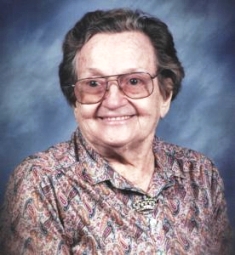
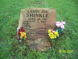
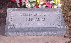
Velma Fay Shinkle Ghramm
| Birth | : | 16 Sep 1928 Fall River, Greenwood County, Kansas, USA |
| Death | : | 18 Apr 1998 Joplin, Jasper County, Missouri, USA |
| Burial | : | Crocker Park Cemetery, Barnstable, Barnstable County, USA |
| Coordinate | : | 41.6959000, -70.3780975 |
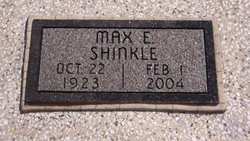
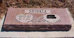
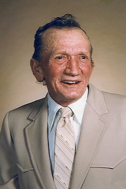
| Description | : | Velma Fay Ghramm lived in Joplin, Mo. at the time of her death on Saturday, April 18, 1998. She was born in Fall River, KS. September 16, 1928 to Ed and Artelia (McReynolds) Shinkle. In 1945 she married Lawrene Ghramm in Fredonia, KS. and he survives at the home. She attended the Church of God Holiness in Diamond, Misouri. Survivors in addition to her husband are three sons, Leon, Gary and Lester, one daughter, Greta and three brothers, Max, Rex and Larry, one sister, Bessie and 11 grandchildren, and eight great-grandchildren. Services will be held at 10:30 a.m. Wednesday, April 22, 1998 at the... Read More |
frequently asked questions (FAQ):
-
Where is Velma Fay Shinkle Ghramm's memorial?
Velma Fay Shinkle Ghramm's memorial is located at: Crocker Park Cemetery, Barnstable, Barnstable County, USA.
-
When did Velma Fay Shinkle Ghramm death?
Velma Fay Shinkle Ghramm death on 18 Apr 1998 in Joplin, Jasper County, Missouri, USA
-
Where are the coordinates of the Velma Fay Shinkle Ghramm's memorial?
Latitude: 41.6959000
Longitude: -70.3780975
Family Members:
Parent
Spouse
Siblings
Children
Flowers:
Nearby Cemetories:
1. Crocker Park Cemetery
Barnstable, Barnstable County, USA
Coordinate: 41.6959000, -70.3780975
2. West Parish Burial Ground
West Barnstable, Barnstable County, USA
Coordinate: 41.6984200, -70.3842920
3. West Barnstable Cemetery
West Barnstable, Barnstable County, USA
Coordinate: 41.7080994, -70.3728027
4. Sandy Street Cemetery
Barnstable, Barnstable County, USA
Coordinate: 41.6968994, -70.3401031
5. Marstons Mills Cemetery
Marstons Mills, Barnstable County, USA
Coordinate: 41.6612015, -70.4080963
6. Beechwood Cemetery
Centerville, Barnstable County, USA
Coordinate: 41.6561012, -70.3491974
7. Lothrop Hill Cemetery
Barnstable, Barnstable County, USA
Coordinate: 41.7028008, -70.3174973
8. Centerville Ancient Cemetery
Centerville, Barnstable County, USA
Coordinate: 41.6547012, -70.3429031
9. Saint Marys Church Memorial Gardens
Barnstable, Barnstable County, USA
Coordinate: 41.7036000, -70.3090000
10. Congregational Cemetery
Barnstable, Barnstable County, USA
Coordinate: 41.6459007, -70.3461990
11. Saint Francis Xavier Cemetery
Centerville, Barnstable County, USA
Coordinate: 41.6516991, -70.3331985
12. Percival Cemetery
Sandwich, Barnstable County, USA
Coordinate: 41.6883011, -70.4557037
13. Boardley Road Cemetery
Sandwich, Barnstable County, USA
Coordinate: 41.6870003, -70.4559021
14. Cobb's Hill Cemetery East and West
Barnstable, Barnstable County, USA
Coordinate: 41.7008018, -70.2994003
15. Hillside Cemetery
Osterville, Barnstable County, USA
Coordinate: 41.6316700, -70.3787100
16. Cedarville Cemetery
East Sandwich, Barnstable County, USA
Coordinate: 41.7397804, -70.4428864
17. Cummaquid Cemetery
Cummaquid, Barnstable County, USA
Coordinate: 41.6974700, -70.2804850
18. Wakeby Cemetery
Sandwich, Barnstable County, USA
Coordinate: 41.6725500, -70.4723100
19. Saint Peters Episcopal Church Memorial Garden
Barnstable, Barnstable County, USA
Coordinate: 41.6209700, -70.3735800
20. Iyanough Gravesite
Cummaquid, Barnstable County, USA
Coordinate: 41.7014900, -70.2754100
21. Mosswood Cemetery
Cotuit, Barnstable County, USA
Coordinate: 41.6279984, -70.4303970
22. Francis Family Cemetery
Mashpee, Barnstable County, USA
Coordinate: 41.6807900, -70.4816600
23. Quaker Meeting House Cemetery
East Sandwich, Barnstable County, USA
Coordinate: 41.7469673, -70.4591064
24. Old Quaker Meeting House Cemetery at Spring Hill
Sandwich, Barnstable County, USA
Coordinate: 41.7463100, -70.4613060


