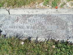
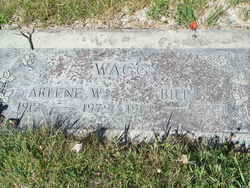
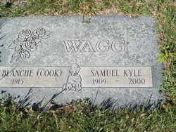
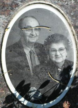
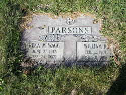
William Winton “Bill” Wagg
| Birth | : | 17 Oct 1914 Mouth of Wilson, Grayson County, Virginia, USA |
| Death | : | 29 Jan 2001 Brewster, Okanogan County, Washington, USA |
| Burial | : | Pateros Cemetery, Pateros, Okanogan County, USA |
| Coordinate | : | 48.0516600, -119.9097300 |
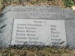
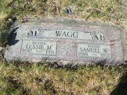
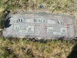
| Description | : | William "Bill" Winton Wagg, 86, died Jan. 29, 2001, in Brewster. He was born Oct. 17, 1914, in Mouth of Wilson, VA, the son of Sam and Lessie (Robbins) Wagg. He came west in 1930. Bill married Arlene Englert on Sept. 21, 1935. They owned and operated three restaurants. He is survived by one daughter, Sandra Converse of Veradale; three grandchildren; and four great-grandchildren. He was preceded in death by his wife Arlene, five brothers and three sisters. Services will be held Monday, Feb. 5, 2001, at 1 p.m. at the Pateros United Methodist Church. Private interment will follow at a later date. Memorial donations may... Read More |
frequently asked questions (FAQ):
-
Where is William Winton “Bill” Wagg's memorial?
William Winton “Bill” Wagg's memorial is located at: Pateros Cemetery, Pateros, Okanogan County, USA.
-
When did William Winton “Bill” Wagg death?
William Winton “Bill” Wagg death on 29 Jan 2001 in Brewster, Okanogan County, Washington, USA
-
Where are the coordinates of the William Winton “Bill” Wagg's memorial?
Latitude: 48.0516600
Longitude: -119.9097300
Family Members:
Parent
Spouse
Siblings
Flowers:
Nearby Cemetories:
1. Pateros Cemetery
Pateros, Okanogan County, USA
Coordinate: 48.0516600, -119.9097300
2. Dick Family Cemetery
Okanogan County, USA
Coordinate: 48.0502700, -119.9241700
3. Miller Family Cemetery
Okanogan County, USA
Coordinate: 48.0530300, -119.9288000
4. Packwood Memorial Cemetery
Dyer, Douglas County, USA
Coordinate: 48.0118305, -119.8178880
5. Methow Cemetery
Methow, Okanogan County, USA
Coordinate: 48.1102982, -120.0124969
6. Locust Grove Cemetery
Brewster, Okanogan County, USA
Coordinate: 48.1114006, -119.7746964
7. Paradise Hill Cemetery
Brewster, Okanogan County, USA
Coordinate: 48.1848980, -119.8411900
8. Elizabeth Osborn Mikel Gravesite
Brewster, Okanogan County, USA
Coordinate: 48.1498900, -119.7514700
9. Bridgeport Cemetery
Bridgeport, Douglas County, USA
Coordinate: 48.0050000, -119.6738800
10. Fort Okanogan Memorial Cemetery
Okanogan, Okanogan County, USA
Coordinate: 48.1594009, -119.6632996
11. Chelan Fraternal Cemetery
Chelan, Chelan County, USA
Coordinate: 47.8502998, -120.0081024
12. Mount Olivet Cemetery
Chelan, Chelan County, USA
Coordinate: 47.8451000, -119.9946000
13. Saint Andrews Episcopal Church
Chelan, Chelan County, USA
Coordinate: 47.8397460, -120.0183780
14. Riverview Cemetery
Chelan, Chelan County, USA
Coordinate: 47.8335991, -119.9944000
15. Manson Indian Cemetery
Manson, Chelan County, USA
Coordinate: 47.8800000, -120.1300000
16. Chiliwist Cemetery
Okanogan County, USA
Coordinate: 48.2630997, -119.7363968
17. Buckingham Cemetery
Douglas County, USA
Coordinate: 47.8669014, -119.6286011
18. Malott Community Cemetery
Malott, Okanogan County, USA
Coordinate: 48.2925000, -119.7047300
19. Beaver Creek Cemetery
Twisp, Okanogan County, USA
Coordinate: 48.3272000, -120.0564000
20. Mansfield Cemetery
Mansfield, Douglas County, USA
Coordinate: 47.8088880, -119.6508330
21. Ballard Family Cemetery
Stayman, Chelan County, USA
Coordinate: 47.7811100, -120.1133300
22. Fletcher Cemetery
Douglas County, USA
Coordinate: 47.7430992, -119.9403000
23. Cameron Lake Pioneer Memorial Cemetery
Malott, Okanogan County, USA
Coordinate: 48.2708330, -119.5700000
24. Jean Cemetery
Mansfield, Douglas County, USA
Coordinate: 47.8292999, -119.4916000

