
| Memorials | : | 0 |
| Location | : | Ryland, Kenton County, USA |
| Coordinate | : | 38.9391000, -84.4847100 |
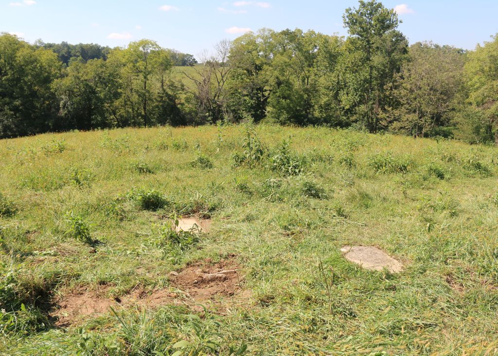
| Description | : | The cemetery is listed as Petty Cemetery on page 69 of Small Kenton County, Kentucky, Cemeteries, published by the Kenton County Historical Society, Cemetery Committee, and on page 69 of Kenton County Cemeteries, published by the Kenton County Historical Society, Covington, Kentucky, 1981. The cemetery inscriptions were recorded on 12 October 1977, reporting 3 graves identifiable by inscription and about 15 unidentifiable graves. The cemetery location is given as latitude 38° 56’ 17” and longitude 84° 29’ 03” in the Independence Quadrangle. The cemetery location is described as “Petty Road”. The cemetery is located on the north side of... Read More |
frequently asked questions (FAQ):
-
Where is Petty Cemetery?
Petty Cemetery is located at Petty Road (Kentucky State Highway 2044) Ryland, Kenton County ,Kentucky , 41015USA.
-
Petty Cemetery cemetery's updated grave count on graveviews.com?
0 memorials
-
Where are the coordinates of the Petty Cemetery?
Latitude: 38.9391000
Longitude: -84.4847100
Nearby Cemetories:
1. Pruett - Mardis Cemetery
Independence, Kenton County, USA
Coordinate: 38.9463900, -84.4817100
2. Stephens Cemetery
Ryland Heights, Kenton County, USA
Coordinate: 38.9374570, -84.4977570
3. Ashford Road Cemetery
Independence, Kenton County, USA
Coordinate: 38.9528850, -84.4892100
4. William Mardis Family Cemetery
Independence, Kenton County, USA
Coordinate: 38.9613800, -84.4800100
5. Grizzell Family Cemetery
Independence, Kenton County, USA
Coordinate: 38.9260320, -84.5089030
6. Klette Cemetery
Latonia Lakes, Kenton County, USA
Coordinate: 38.9616670, -84.4944400
7. White Cemetery
Ryland Heights, Kenton County, USA
Coordinate: 38.9628600, -84.4642900
8. Minter Cemetery
Covington, Kenton County, USA
Coordinate: 38.9642300, -84.5055100
9. Osborn Cemetery
Latonia Lakes, Kenton County, USA
Coordinate: 38.9661110, -84.5016670
10. Adams Cemetery
Visalia, Kenton County, USA
Coordinate: 38.9088889, -84.4861111
11. White Cemetery
Ryland Heights, Kenton County, USA
Coordinate: 38.9625000, -84.4583330
12. Lighthouse Memorial Gardens
Covington, Kenton County, USA
Coordinate: 38.9689350, -84.5025500
13. Oak Ridge Church Cemetery
Latonia Lakes, Kenton County, USA
Coordinate: 38.9691460, -84.5024180
14. George W Perry Cemetery
Latonia Lakes, Kenton County, USA
Coordinate: 38.9728800, -84.4883400
15. Simmons Cemetery
Visalia, Kenton County, USA
Coordinate: 38.9069440, -84.4677780
16. Lipscomb-Richardson Cemetery
Latonia Lakes, Kenton County, USA
Coordinate: 38.9736100, -84.4958300
17. Richard Richardson Cemetery
Latonia Lakes, Kenton County, USA
Coordinate: 38.9741670, -84.5027780
18. McCollum Cemetery
Independence, Kenton County, USA
Coordinate: 38.9431490, -84.5350520
19. Hoffman Cemetery
Independence, Kenton County, USA
Coordinate: 38.9102777, -84.5200000
20. Pelly Cemetery
Latonia Lakes, Kenton County, USA
Coordinate: 38.9611110, -84.5294440
21. Cox Cemetery
Covington, Kenton County, USA
Coordinate: 38.9716670, -84.5188890
22. Bannister Cemetery
Taylor Mill, Kenton County, USA
Coordinate: 38.9758333, -84.5111110
23. Faulkner Cemetery
Independence, Kenton County, USA
Coordinate: 38.9166670, -84.5333330
24. Armstrong Cemetery #2
Ryland Heights, Kenton County, USA
Coordinate: 38.9820600, -84.4695400