
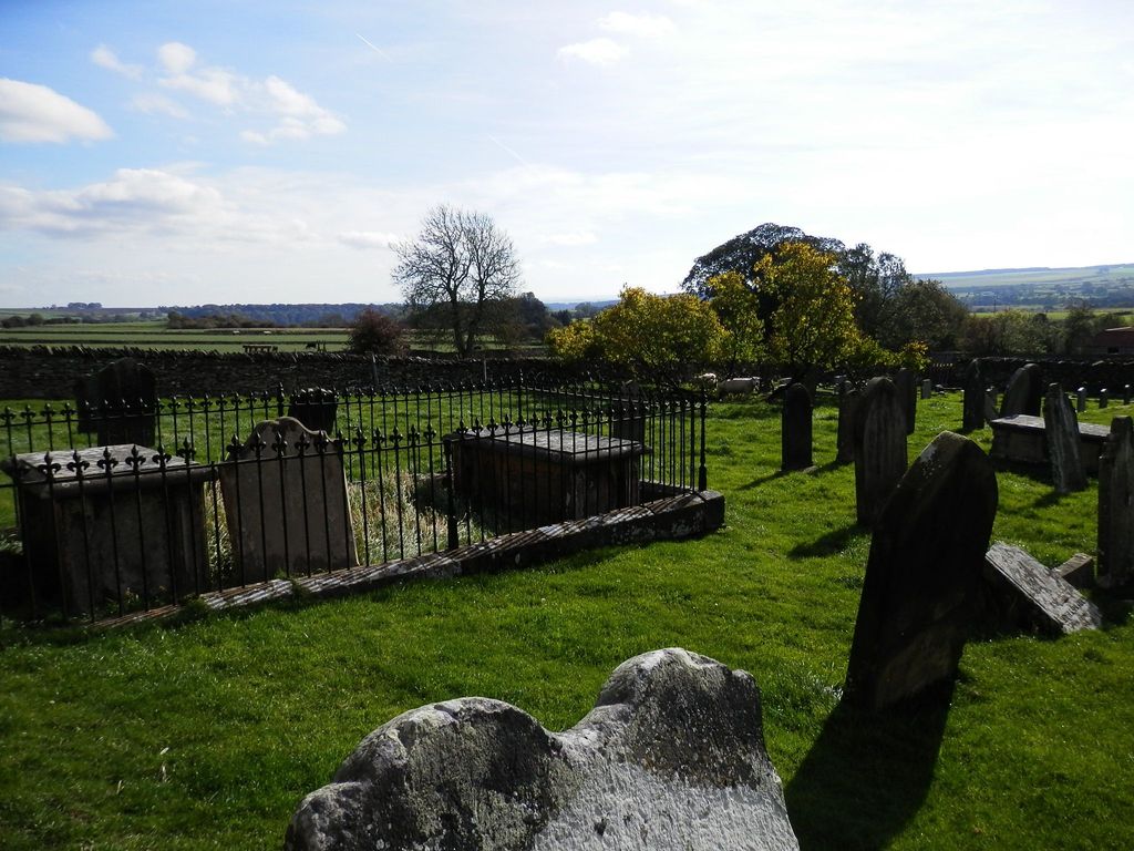
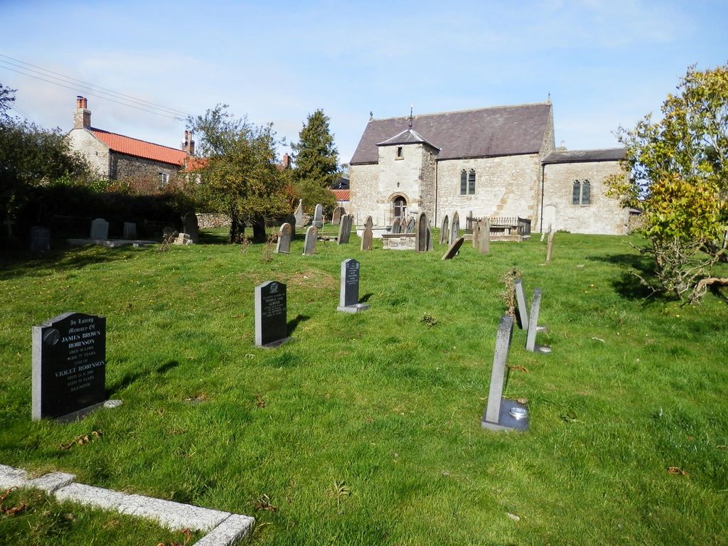
| Memorials | : | 5 |
| Location | : | Old Byland, Ryedale District, England |
| Coordinate | : | 54.2663000, -1.1558000 |
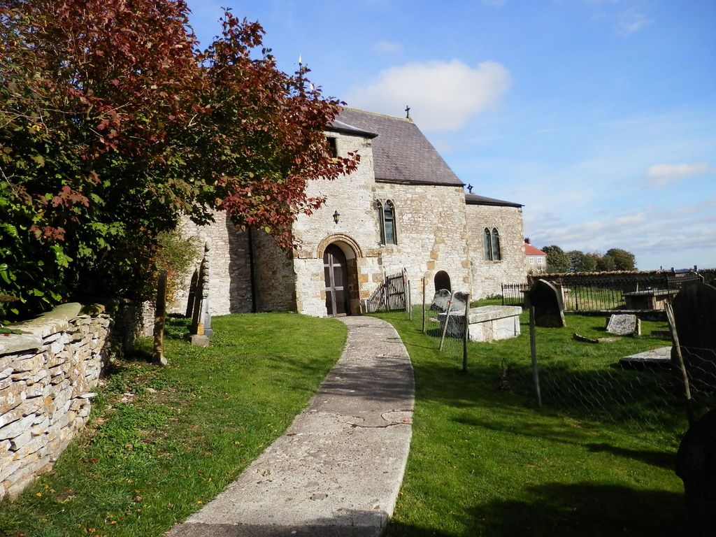
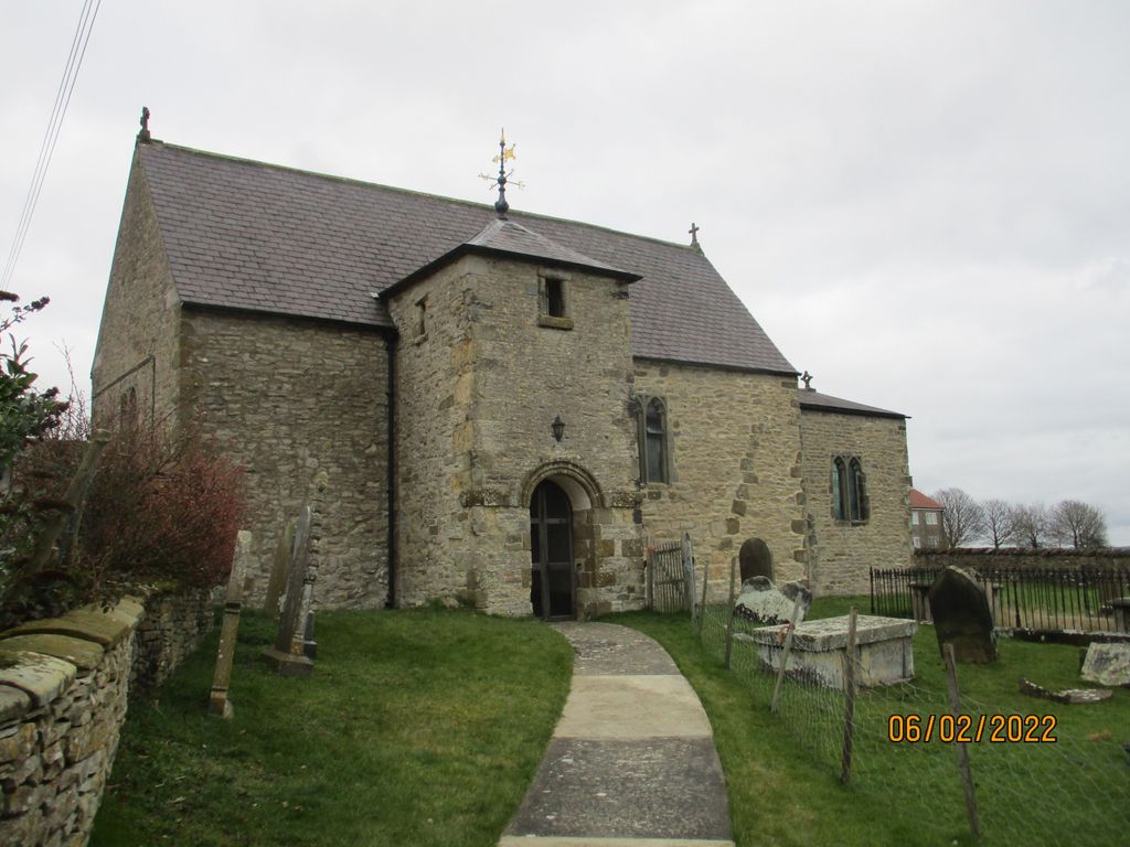
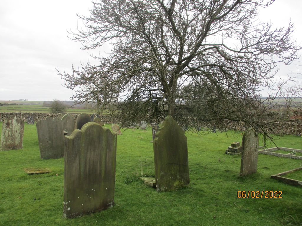
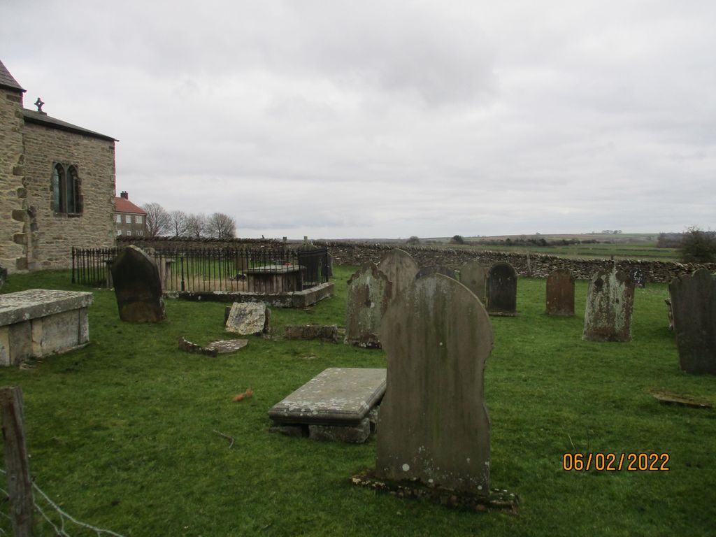
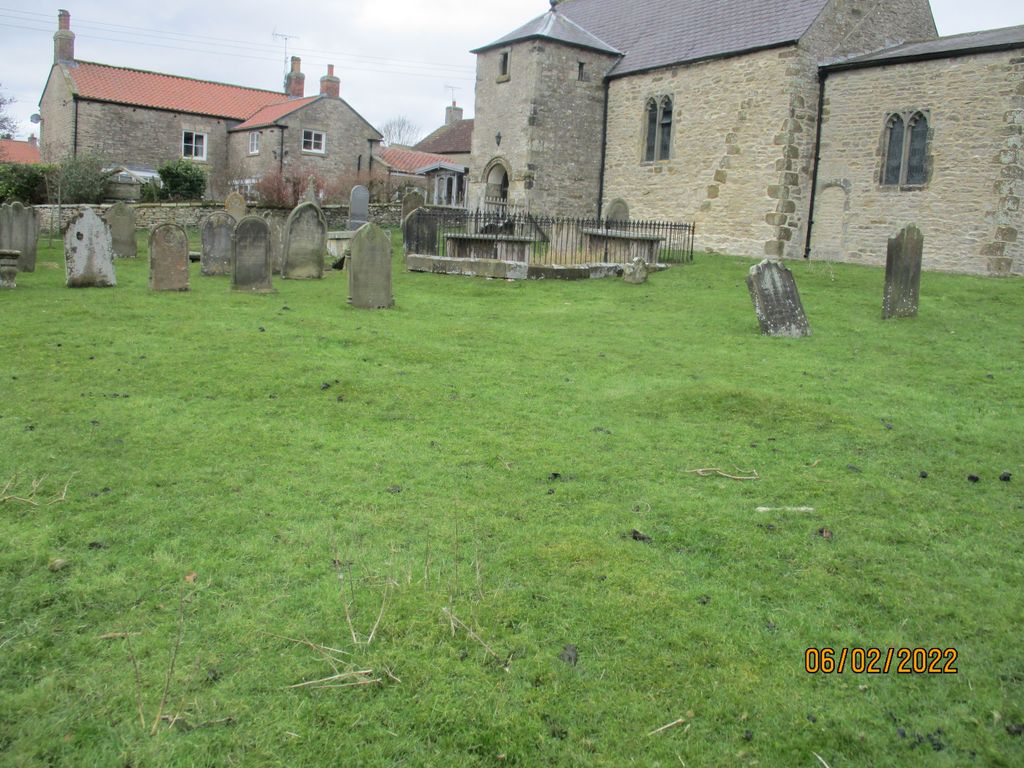
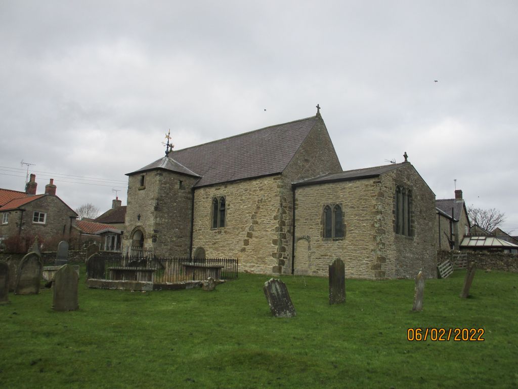
| Description | : | The ancient church of All Saints at Old Byland, a Grade I Listed Building, dates to the late Saxon era. Most of the present church was rebuilt during the Norman period, but the stonework in the exterior of the chancel suggests that once the roof was lower and this implies that parts of the building are likely to be pre-Norman. Furthermore, a late Saxon doorway, which is now filled in, in the exterior of the chancel also suggests that an earlier church existed on this site before the Norman rebuilding. The church has undergone many alterations over the centuries and... Read More |
frequently asked questions (FAQ):
-
Where is All Saints Churchyard?
All Saints Churchyard is located at Old Byland, Ryedale District ,North Yorkshire ,England.
-
All Saints Churchyard cemetery's updated grave count on graveviews.com?
3 memorials
-
Where are the coordinates of the All Saints Churchyard?
Latitude: 54.2663000
Longitude: -1.1558000
Nearby Cemetories:
1. St Michael Churchyard
Cold Kirby, Ryedale District, England
Coordinate: 54.2534580, -1.1827120
2. Saint Mary’s Churchyard
Scawton, Ryedale District, England
Coordinate: 54.2451000, -1.1591000
3. All Saints Churchyard
Hawnby, Ryedale District, England
Coordinate: 54.3000380, -1.1770300
4. Holy Trinity Churchyard
Boltby, Hambleton District, England
Coordinate: 54.2732340, -1.2480700
5. Helmsley Town Cemetery
Helmsley, Ryedale District, England
Coordinate: 54.2483300, -1.0620300
6. Rievaulx Abbey
Helmsley, Ryedale District, England
Coordinate: 54.2449170, -1.0639570
7. All Saints Churchyard
Helmsley, Ryedale District, England
Coordinate: 54.2469000, -1.0625000
8. Byland Abbey
Coxwold, Hambleton District, England
Coordinate: 54.2034480, -1.1589660
9. St Mary Churchyard
Kilburn, Hambleton District, England
Coordinate: 54.2102360, -1.2138820
10. Ampleforth Friends Burial Ground
Ampleforth, Ryedale District, England
Coordinate: 54.2023420, -1.1213330
11. Our Lady & St Benedict RC Churchyard
Ampleforth, Ryedale District, England
Coordinate: 54.2009700, -1.1055400
12. St Hilda Churchyard
Ampleforth, Ryedale District, England
Coordinate: 54.2000630, -1.1075590
13. St. Wilfrid's Churchyard
Kirby Knowle, Hambleton District, England
Coordinate: 54.2788910, -1.2823040
14. St Felix Churchyard
Felixkirk, Hambleton District, England
Coordinate: 54.2564000, -1.2832000
15. Ampleforth Abbey - Monk's Wood
Ampleforth, Ryedale District, England
Coordinate: 54.2028689, -1.0841344
16. Ampleforth Abbey
Ampleforth, Ryedale District, England
Coordinate: 54.2019630, -1.0838000
17. Saint John the Evangelist Churchyard
Bilsdale Midcable, Hambleton District, England
Coordinate: 54.3436000, -1.1192000
18. St. Michael's Churchyard
Coxwold, Hambleton District, England
Coordinate: 54.1878500, -1.1847120
19. St. Michael's and All Angels Churchyard
Cowesby, Hambleton District, England
Coordinate: 54.3029750, -1.2875840
20. Newburgh Priory
Coxwold, Hambleton District, England
Coordinate: 54.1811000, -1.1731000
21. St Oswald Churchyard
Oswaldkirk, Ryedale District, England
Coordinate: 54.2022340, -1.0495510
22. St Mary Churchyard
Bagby, Hambleton District, England
Coordinate: 54.2192130, -1.2907820
23. Harome Village Cemetery
Harome, Ryedale District, England
Coordinate: 54.2308650, -1.0096380
24. St Saviour Churchyard
Harome, Ryedale District, England
Coordinate: 54.2302000, -1.0088000