| Memorials | : | 24 |
| Location | : | Helmsley, Ryedale District, England |
| Coordinate | : | 54.2483300, -1.0620300 |
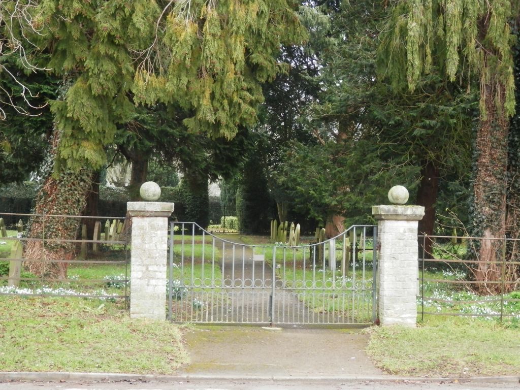
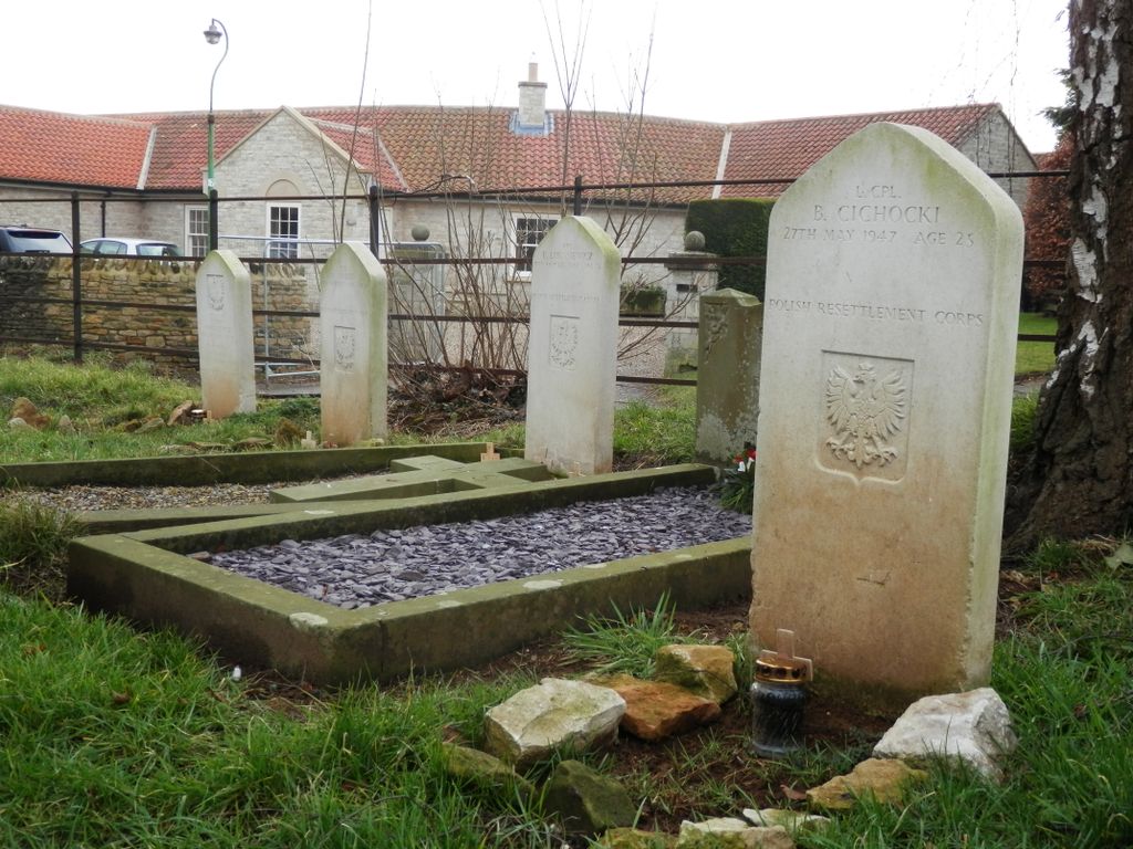
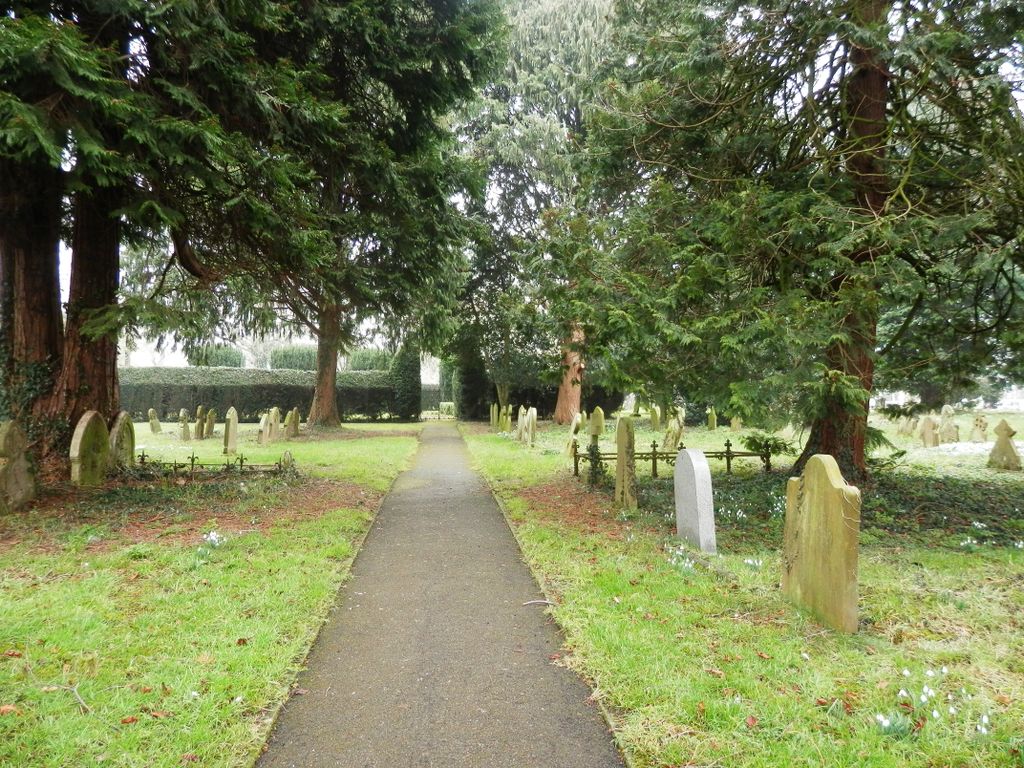
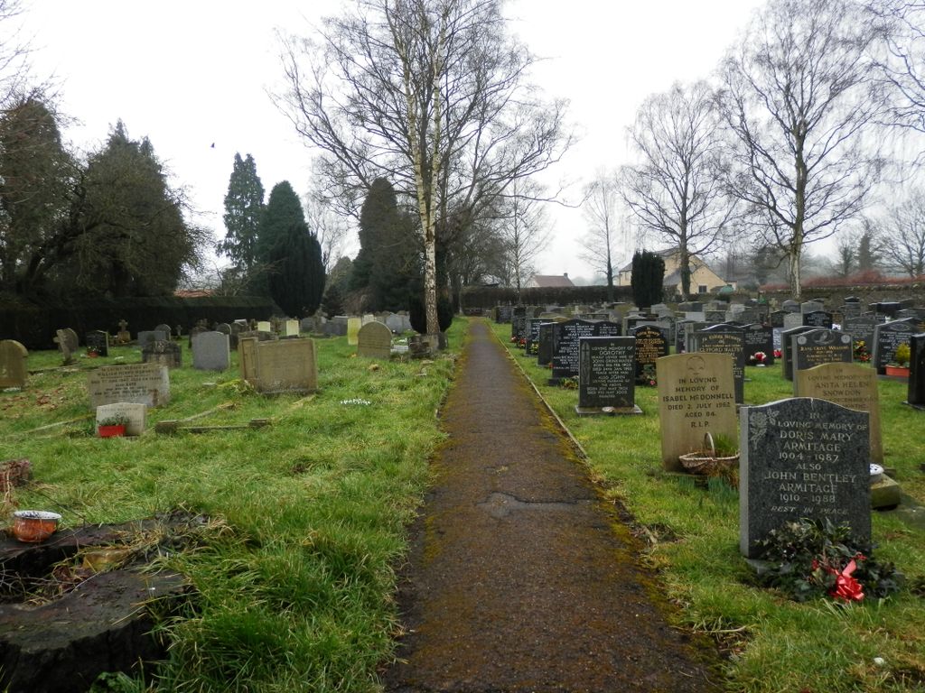
| Description | : | Helmsley Town Council owns and manages the cemetery. As reported in September 2014 in the Malton & Pickering Mercury, burial space in the town cemetery at Helmsley is under pressure – because so many people from other parts of the country want to buy plots. Now the town council is to decide what action is to be taken. Councillors heard that at present local residents pay £130 to earmark a plot but people from outside the area seeking a spot for their final resting place have to pay £260. However, the council says it is concerned about reserving plots for people from as... Read More |
frequently asked questions (FAQ):
-
Where is Helmsley Town Cemetery?
Helmsley Town Cemetery is located at Helmsley, Ryedale District ,North Yorkshire ,England.
-
Helmsley Town Cemetery cemetery's updated grave count on graveviews.com?
24 memorials
-
Where are the coordinates of the Helmsley Town Cemetery?
Latitude: 54.2483300
Longitude: -1.0620300
Nearby Cemetories:
1. All Saints Churchyard
Helmsley, Ryedale District, England
Coordinate: 54.2469000, -1.0625000
2. Rievaulx Abbey
Helmsley, Ryedale District, England
Coordinate: 54.2449170, -1.0639570
3. Harome Village Cemetery
Harome, Ryedale District, England
Coordinate: 54.2308650, -1.0096380
4. St Saviour Churchyard
Harome, Ryedale District, England
Coordinate: 54.2302000, -1.0088000
5. St Oswald Churchyard
Oswaldkirk, Ryedale District, England
Coordinate: 54.2022340, -1.0495510
6. Ampleforth Abbey - Monk's Wood
Ampleforth, Ryedale District, England
Coordinate: 54.2028689, -1.0841344
7. Ampleforth Abbey
Ampleforth, Ryedale District, England
Coordinate: 54.2019630, -1.0838000
8. Our Lady & St Benedict RC Churchyard
Ampleforth, Ryedale District, England
Coordinate: 54.2009700, -1.1055400
9. St Hilda Churchyard
Ampleforth, Ryedale District, England
Coordinate: 54.2000630, -1.1075590
10. Saint Mary’s Churchyard
Scawton, Ryedale District, England
Coordinate: 54.2451000, -1.1591000
11. Ampleforth Friends Burial Ground
Ampleforth, Ryedale District, England
Coordinate: 54.2023420, -1.1213330
12. All Saints Churchyard
Old Byland, Ryedale District, England
Coordinate: 54.2663000, -1.1558000
13. St Gregory Minster Churchyard Extension
Nawton, Ryedale District, England
Coordinate: 54.2628100, -0.9629100
14. St. Gregory's Minster Churchyard
Kirkdale, Ryedale District, England
Coordinate: 54.2628300, -0.9622613
15. St Gregory Minster Churchyard
Nawton, Ryedale District, England
Coordinate: 54.2627570, -0.9621910
16. Gilling New Churchyard
Gilling East, Ryedale District, England
Coordinate: 54.1856070, -1.0559535
17. Holy Cross Churchyard
Gilling East, Ryedale District, England
Coordinate: 54.1841290, -1.0580460
18. All Saints and St James Church
Nunnington, Ryedale District, England
Coordinate: 54.2031000, -0.9806000
19. Stonegrave Minster Churchyard
Stonegrave, Ryedale District, England
Coordinate: 54.1925011, -0.9966000
20. St Michael Churchyard
Cold Kirby, Ryedale District, England
Coordinate: 54.2534580, -1.1827120
21. Byland Abbey
Coxwold, Hambleton District, England
Coordinate: 54.2034480, -1.1589660
22. All Saints Churchyard
Kirkbymoorside, Ryedale District, England
Coordinate: 54.2703470, -0.9310110
23. St. Michael and All Angels Churchyard
Edstone, Ryedale District, England
Coordinate: 54.2469000, -0.9188000
24. St Aidan Churchyard
Gillamoor, Ryedale District, England
Coordinate: 54.3023510, -0.9502880


